Alert
Alerts
La Cime de Colmiane


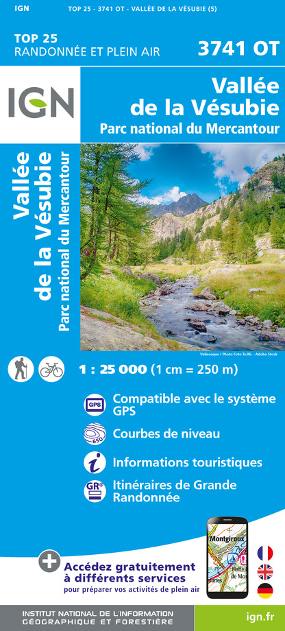
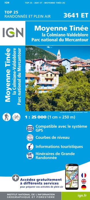
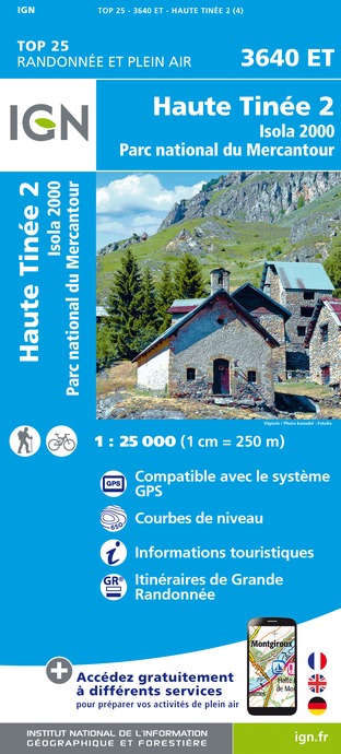
IGN cards


Description
Leaving from the ski station of La Colmiane, this circuit provides several panoramic views over the valleys of the Vésubie and the Tinée in addition to fine views over the Mercantour peaks. This itinerary is accessible for off-road wheelchairs (“joëlette” for handicapped people).
From the Tourism Office, head up the track, which can be used by vehicles, towards “Colmiane Forest” Treetop Adventure Park (Marker 93) until you reach the Col du Suc (Marker 312a, picnic table). Keep climbing on the track on the left until you reach a crossroads between several trails. Continue along the track on the left which arrives below the Cime de Colmiane (marker 311).It is possible to head up to the peak, where there are 360° panoramic views, and then back down again to reach the same point.Head down to the Col de Colmiane via the track on the right. Make sure that you close the gates after you go through them and enter these pastures which are grazed by horses and cows. At the Col de Colmiane (Marker 312), you will benefit from a magnificent view over the Vésubie Valley. Keep heading down via the track on the left which crosses the ski slopes and then up again to the Col du Suc (Marker 312a). Pick up the track on the right, which can be used by vehicles, to get back to the Tourism Office.
Technical Information
Altimetric profile
Starting point

Additional information
Departure
La Colmiane Tourism Office (circuit)
Arrival
La Colmiane Tourism Office (circuit)
Ambiance
A beautiful circuit which goes over the peaks between the Cime de Colmiane (1790m) and the mountain pass of the same name (1641m). The downward journey via the Col du Suc (1581m) will provide you with a chance to explore the slopes of the ski station, which are lush and green in the summer.
Access
Via La Vésubie: 75km from Nice: A8 motorway - Exit 52 Nice Saint Isidore - then RD6202 (towards Grenoble) to Plan du Var, then D2565 towards Saint-Martin-Vésubie.
Subsequently follow directions towards La Colmiane/Valdeblore.
Accessibility infrastructure
Free loan of “Joëlette” off-road wheelchairs:Département des Alpes MaritimesTél. : 00 33 0(4) 97 18 60 00www.departement06.fr
Mercantour National Park House at St-Martin-VésubieTel.: 00 33 (0)4 93 03 23 15www.mercantour.eu
Advised parking
Carpark outside La Colmiane Tourism Office
Public transport
From mid-June to mid-September: Randobus Lignes d'Azur
Number 730 - Vallée de la Vésubie- Departure from Nice Vauban: 7.15am/ Arrival at La Colmiane: 09.10am- Departure from La Colmiane: 4.40pm/ Arrival at Nice Vauban: 6.45pm
Reservations: www.lignesdazur.com/ choose "Randobus" sectionTel.: 08 1006 1006
Advice
Make sure that you close the gates after you go through them into the pasture area (grazed by cows and horses), which is located on the downhill section after the Cime de Colmiane, just before the oratory at Notre-Dame des Colmianes.
Data author
