Alert
Alerts
The 4 valley circuit - Stura - Maira - Haute Tinée - Ubaye


IGN cards


Description
A trekking circuit spanning 2 countries and 4 valleys, a historic itinerary which links Piedmont and Provence.
Technical Information
Altimetric profile
Starting point
Points of interest


Additional information
Departure
Pontebernardo
Arrival
Pontebernardo
Ambiance
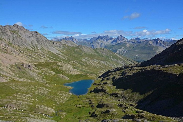
A trekking circuit spanning 2 countries and 4 valleys, heading into both France and Italy. Stura - Maira - Haute Tinée - Ubaye, four major valleys brought together as you head over the Alpine cols surrounded by some of the most magnificent peaks of the Mediterranean Alps.
Access
From the A6 Turin-Savona motorway: exit at the Cuneo toll booths, head towards Borgo San Dalmazzo, then Demonte and Vinadio. From Col de Tende: heading down from Limone, head towards Borgo San Dalmazzo, then Demonte and Vinadio, Pontebernardo.
Advised parking
Pontebernardo
Advice
Specific regulations concerning protected species in Mercantour National Park.
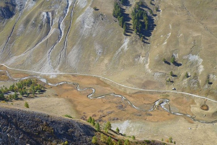
This itinerary takes place along high-valley Alpine paths.
The accommodation sites listed are the only ones which are available along this route. Before heading off on a hike, ensure that you have studied the safety advice. If you are setting off on this hike in the early part of the season, you will need to take particular care as patches of snow can still be present in higher areas.
Is in the midst of the park
The national park is an unrestricted natural area but subjected to regulations which must be known by all visitors.
Data author
