Alert
Alerts
The three villages

Description
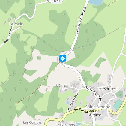
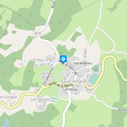
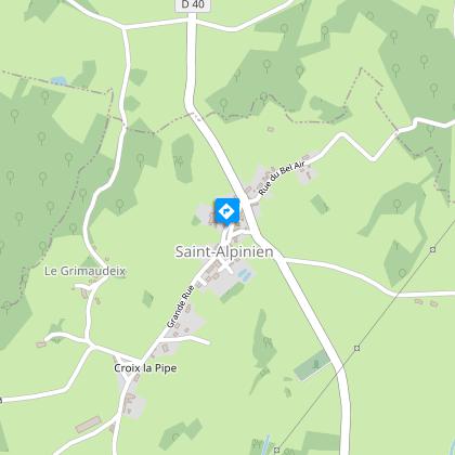
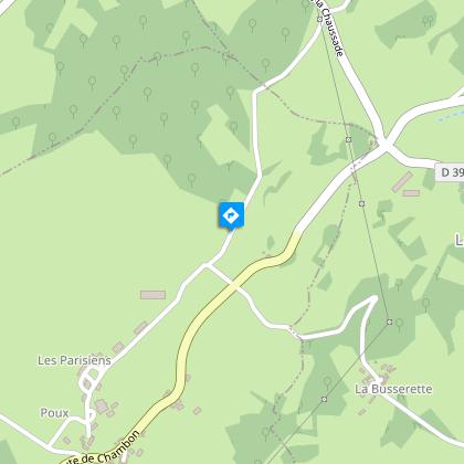
The imprint of the masons of the Creuse can be seen all along this route, which is rich in architecture.Leaving from the town hall, go in the direction of Juchefaux for 200 m.Take the first track on the right that runs alongside the park at the back of the chateau.Take the D21 on the left to Saint Amand - at the entrance to the village a very beautiful washing pool on the left - Go through the village passing behind the churchAt the monument, turn right onto ""Chemin de la Clidelle"".Take the path on the left and then the road on the left towards Le Courtioux.Turn right onto the road to Lavaud.Take the path on the right and follow the road on your left, and then take the road again.Take the track on the left.Take the road on the right towards Lavaud, go through the hamlet, and take the road on the left.Take the path on the right.Take the D988 on the left.Take the tarmac track on the right and then the first path on the right to find the track facing you.Take the road opposite, towards La Chaumette.In the hamlet, turn left onto the tarmac road for 30 m and then turn right onto the path that leads to the pond.Take the path on the left.At the end of the path, take the road to the left via the hamlet of Les étangs. Take the road opposite for 250 m.Take the first path on the right.Take the path on the left.Cross the road and take the track opposite which runs alongside the private road.Take the path on the left up to the village of Saint Alpinien.At the crossroads and the small fountain, take the ""Grande Rue"" facing you and pass in front of the church.After leaving the village, take the road on the right, go past the village hall, and at the fork, head right in the direction of Le Grimaudeix. On the other side of the hamlet, continue along the track.Take the road on the left via La Busserette.At the end of the village, take the trail on the left which goes down in front of the barn.Cross the road and follow the path opposite until you reach the D993, then turn right.Turn left and take the path on the left at the corner of the house.Turn left on the track and continue straight ahead until you reach the hamlet of Poux.Take the road to the right.Take the track to the right and at the next crossroads take the right-hand path.Continue on the path to the left.On the road turn left and return to the starting point.
Technical Information
Altimetric profile
Starting point
Steps
Points of interest


Additional information
Public transport
Transports en commun >> www.aubusson-felletin-tourisme.com
Advice
Itinerary can be split into smaller circuits by taking the road. Itinerary can be split into smaller circuits by taking the road.
Advised parking
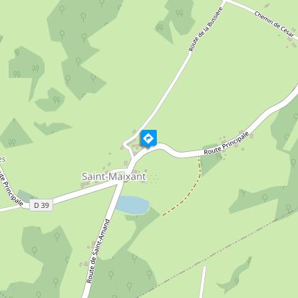
Place de la Mairie, Saint-Maixant
Access
6.2 km from Aubusson, take the D990A then the D39.
Arrival
Place de la Mairie, Saint-Maixant
Ambiance
From the feudal castle of Saint-Maixant, characteristic of the military architecture of the Marche, discover the Romanesque church of Saint-Amand and its 12th-century double-arched bell tower as well as the double-sided granite cross from the same period of the village of Saint-Alpinien, at the foot of which the local lords delivered justice until the Revolution.
Departure
Place de la Mairie, Saint-Maixant
Data author
