Alert
Alerts
Les Hérons

IGN cards


Description
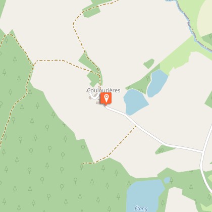
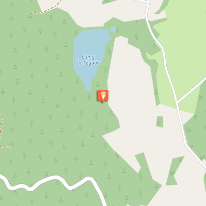
Between forests and lakes, this is one of the prettiest family walks in the area.Take the road to the east towards Eygurande for 200 m.Turn left onto the path; take two left turns at the next two crossroads. The path goes over the road and eventually joins it.Follow it on the right for 50 m and then turn right onto the path. Continue straight on through the woodland.When you reach a meadow, there is a track that you take on the right. Go straight on at the next crossroads to arrive on a road that you take to the right. Go through Coulourières.300 m afterthe village, take the track on the right for 250 m. When you arrive in the woods, take the path on the left; go on alongside the lake, and go over the dyke. Afterthis,follow the path to the left to get back to the road. Turn right for 400 m.At the crossroads with the road, turn right onto the track which becomes a path and then a trackafter the lake. At the crossing of the paths, to the right is a path through woodland which joins the path you took at the beginning: go left and then right to join the road that goesback to the Veyssie lake.
Technical Information
Altimetric profile
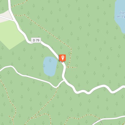
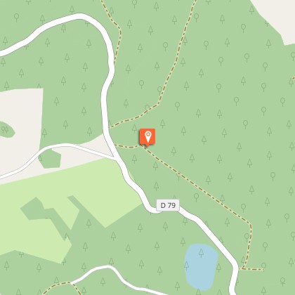
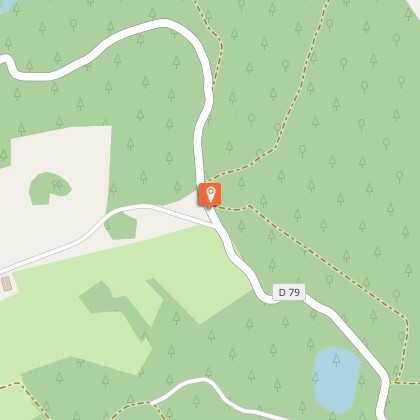
Starting point
Steps
Additional information
Departure
Parking at the Veyssie lake
Arrival
Parking at the Veyssie lake
Ambiance
The name of this itinerary refers to the magnificent bird that inhabits our ponds and lakes, although not much appreciated by the owners of these bodies of water due to the amount of fish it consumes. The Plateau de Millevaches is known as France's water tower because of the numerous rivers that have their sources there, but it also has a wealth of ponds and lakes. All artificial, they were created by humans, who most often dammed a stream at the end of a wetland.
Access
The departure point is 6 km from Eygurande: follow the D21, then the D79 towards Le Massif des Agriers. Be careful, at the entrance of the massif, keep right on the D79 to reach the lake.
Advised parking
Parking at the Veyssie lake
Advice
Follow the markings carefully at the Eygadie lake, it is private property.
