Alert
Alerts
To the Coal!

IGN cards




Description
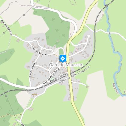
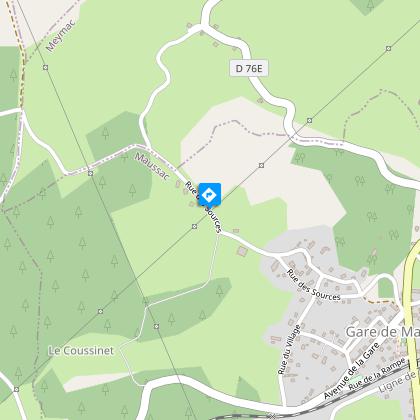
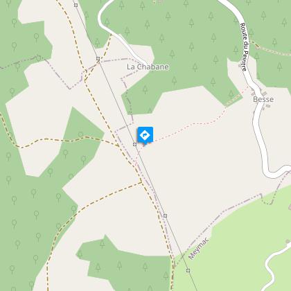
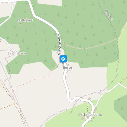
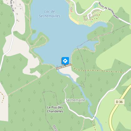
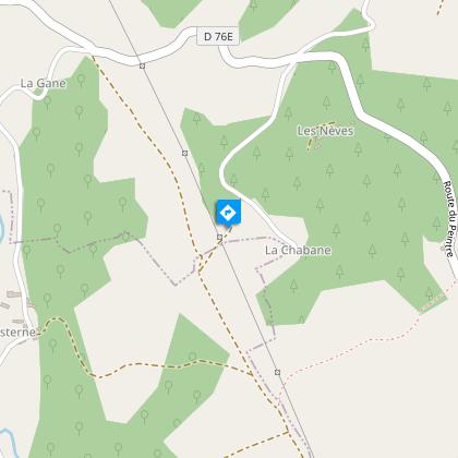
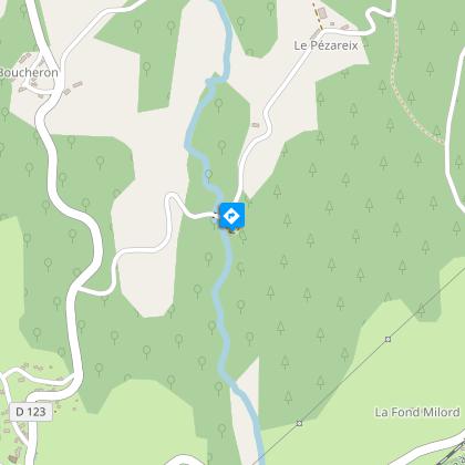
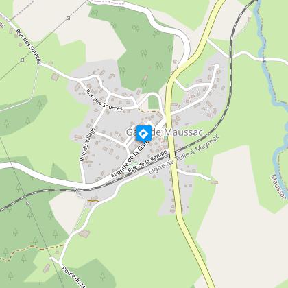
This rural itinerary starts from an old mining "city".Departure point on the square on the edge of the D36. Head for the old butcher's shop; turn right and then left on the Rue des Sources. Then turn right on the Rue du Château d'Eau. The latter rejoins the Rue des Sources, which we follow on the right.100 m after leaving the village, follow the road to the left. At the crossroads with the Pézareix road, continue on the track straight ahead. At the next crossroads, take the path on the right. Go straight on to Besse. Take note, at the entrance of the village, turn right on the small path that goes to the well.Take the road to the left. At the last house, turn right onto the Chemin des Chèvres follow it straight ahead.Take the road to the right and then to the left. Go past the stream, the Ambrugeat. 600 m after the bridge, turn left onto the track. Continue along the motorcycle path, go through the gate to reach the dyke.Just after the dyke, follow a path in the woodland to the left. Take the road on the left and then, in a hairpin bend, the path straight ahead. Take the road on the right, then leave the Route des Nèves and go on until you reach a crossroads.At the crossroads turn left towards La Chabane. At the top of the hill, take a path on the right. Go left at the first crossroads. This path joins up with a track that you take on the right. It leads to Cisterne.In the village, follow the road to the left for 1 km. Take a path to the left. Turn right at the road to reach the Pézareix mill. Take the road on the left which rises and becomes a track. Turn right when you reach the road.At the crossroads, turn right: the road runs alongside the ralway line. Turn left at the railway crossing and then take the path on the left just after the crossing keeper's house. Turn left at the next crossroads; the path becomes a track.Take the road to the left; go left at the next crossroads; cross the railway line. Turn right at the next crossroads to return to Maussac.
Technical Information
Altimetric profile
Starting point
Steps
Points of interest
Additional information
Advised parking
Car park, Place de Maussac Gare
Advice
The commune includes several villages. The hike sets off from Maussac-Gare. This signposted "circuit 3" hike has two shortcuts with a 7 km circuit 1 and a 9.5 km circuit 2. This circuit is the subject of a specific information sheet.
Access
From Meymac, take the D36 towards Tulle. Maussac-Gare is 5 km from Meymac.
Ambiance
Au cours des 115 ans de son exploitation, le filon de charbon de Maussac a permis au village de Lapleau de connaître une expansion économique unique. Ce sentier vous permet de comparer les architectures traditionnelles du monde agricole aux équipements miniers et administratifs de ce « boom » et d’imaginer l’évolution du mode d’habitat dans une cité minière.
Arrival
Car park, Place de Maussac Gare
Departure
Car park, Place de Maussac Gare
