Description
Map
Ratings and reviews
See around
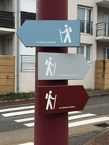
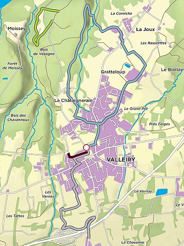
Blue route: Valleiry - La Joux
Description
This route allows you to reach the hamlet of 'La Joux' with the option to go on to Viry. The return trip can be made on another path which goes through the forest and then alongside Nant di Longet.
Be careful, the descent to the river is quite steep
Technical informations
This circuit was updated on: 04/05/2024
5.6 km
|
min. 99999 m
80 m
| |||
Altimetric profile
Starting point
74520
Valleiry
Lat : 46.108059Lng : 5.96789
Additional information
Environments
Village centre
Updated by
Office de Tourisme des Monts de Genève - 26/03/2024
www.montsdegeneve.com
Report a problem
Open period
All year round.
Contact
Phone : 04 50 04 62 89
Email : syndicat.vuache@orange.fr
Website : www.pays-du-vuache.fr
Type of land
Suitable for all terrain strollers
Data author

proposed by
Monts de Genève
Ratings and reviews
To see around