Alert
Alerts
The Customs Officers' Path

Description
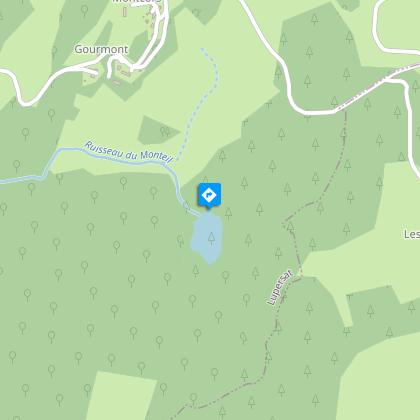
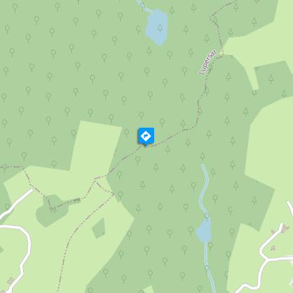
Part of this hike is along ridge paths with an added bonus: a view over the volcanoes of the AuvergneGo down the main street and turn right onto the road to Ronnet for 450 m. At La Vierge, take and follow the path on the right for 900 m.Take the path on the left. Go down the road to the left at Les Barrières, then follow the road to the right and pass Solignat.Turn right onto the path that runs alongside the lake and continue until you reach Villocette. Go through the hamlet to the right and continue uphill. Take the road to the right. Leave Montcors on the right and continue by road until you reach Goumont.Go past the road to Montcors on the right, enter the property on the left and immediately take the path on the right. This runs along the road first, and then goes down into the valley and up again. Go around to the left of the lake.At the crossroads, turn left. Take the path to the right, then the path to the right again. At the crossroads, continue straight ahead along the path lined with low stone walls and climb the ridge, leaving the paths to the side.Take the track on the right and follow it to the end. Leave the car park on the right to get onto the path.Where the path branches go left. Pass between the two ponds and go up the hill to the houses in Puy-Bargeron. Continue along the road, go past Eroulletas and continue towards Erolas. At the crossroads, take the road on the left towards La Vergne.After the lake, follow the path to the right. Continue straight on to Lupersat.
Technical Information
Altimetric profile
Starting point
Steps
Points of interest


Additional information
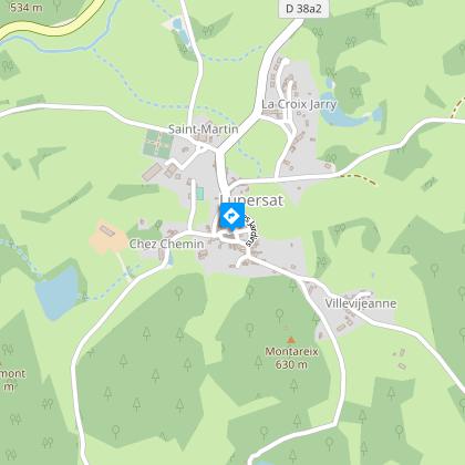
Advised parking
Car park at Place de l’église, Lupersat
Access
From Chénérailles, head in the direction of Aubusson as far as Issoudun Létrieix. Turn left towards Champagnat, then go towards Bellegarde en Marche. In Bellegarde en Marche turn onto the D988 to Lupersat.
Ambiance
Car park at Place de l’église, LupersatThis hike in the foothills of the Auvergne mountains leads you to discover the ancient routes used by salt smugglers to pass from Felletin en Creuse to the Auvergne without being seen.
Arrival
Car park at Place de l’église, Lupersat
Departure
Car park at Place de l’église, Lupersat
Data author
