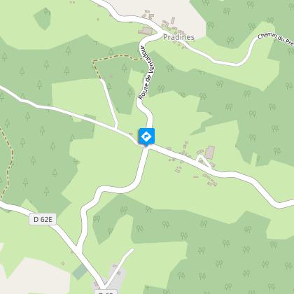
Aigueperse
Description
From cross to cross, the beautiful parish of Saint-Hilaire-Foissac is revealed.From the church square, go up the main street, past the town hall and then the cemetery until you reach a crossroads.Continue straight ahead on the D62E and take the right-hand path. It goes through the woods. Use the trail that runs alongside an ancient pasture. Take the road on the left for 40 m, then the path on the right. It leads to old ruins covered with periwinkle. Continue straight ahead on the road.At the crossroads, take the road to the right, then take the small sunken path bordered by hedges that runs between the trackways to the left. Leave the path to the right.Facing the stream that uses the path as its course, turn right and walk along the field which is lined by remarkable old oaks. Then, at the crossroads, continue straight ahead along the path that leads to Aigueperse.In the hamlet, go down to the right, pass the cross (where you can see "IHS", "Iesa Homines Salvator", "Jesus the Saviour of Men") and continue along the D124 to the right (the landscape opens out onto the gorges of the Luzège and the massif of Sancy). Descend by the road on the left in Pradines (on the left, a remarkable covered stone well, built right up against a bakehouse) and continue on the right on the main road. After the bend, take the right-hand path, then the sunken path on the left and continue straight ahead. Go down by the road on the left (cross carved on both sides, notice the carvings "IHS", "1692" and the fleurs-de-lis), then take the D124 on the right (view in the foreground over the gorges of the Luzège; in the background, you can make out the gorges of the Dordogne; to the left at the bottom, opposite, the massifs of Sancy and Cantal) and find the crossroads where you began your outward journey.Follow the road on the left to get back to the starting point.
Technical informations
7.3 km
|
max. 624 m
min. 562 m
| |||
Altimetric profile
Starting point
Steps
Saint-Hilaire-Foissac
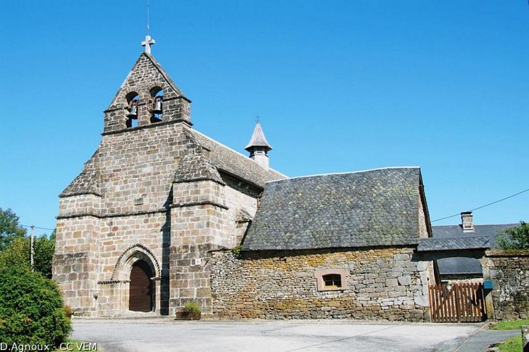
Foissac dut être le nom primitif de cette paroisse, car on trouve parfois, en 1491,Sancti Hilarii de Foyssaco ; mais l’adjonction du nom patronal est fort ancienne. Cependant, en 1793, les révolutionnaires changèrent son nom au profit de Foissac-la-Luzège, du nom de la rivière qui passe sur la frontière nord-est de la paroisse.La première référence à la paroisse dans les textes date du XIIIème siècle siècle comme l’atteste l’architecture de l’église avec sa nef unique et son chevet plat.
Eglise de Saint-Hilaire-Foissac
Foissac dut être le nom primitif de cette paroisse, car on trouve parfois, en 1491,Sancti Hilarii de Foyssaco ; mais l’adjonction du nom patronal est fort ancienne. Cependant, en 1793, les révolutionnaires changèrent son nom au profit de Foissac-la-Luzège, du nom de la rivière qui passe sur la frontière nord-est de la paroisse. La première référence à la paroisse dans les textes date du XIIIème siècle comme l’atteste l’architecture de l’église avec sa nef unique et son chevet plat.
Les croix de Saint-Hilaire
Les croix ont longtemps marqué l’espace et le rythme de vie dans nos campagnes, placées ici et là en signe de dévotion et de protection. Croix de chemin, croix de justice, croix oratoires, elles peuvent annoncer un sanctuaire, protéger un village, veiller sur des récoltes, délimiter un terroir ou encore rassurer et orienter le voyageur.On dénombre ainsi treize croix sur la seule commune de Saint-Hilaire-Foissac dont celle du cimetière, une très belle croix bilobée, ciselée de lignes et de cercles.
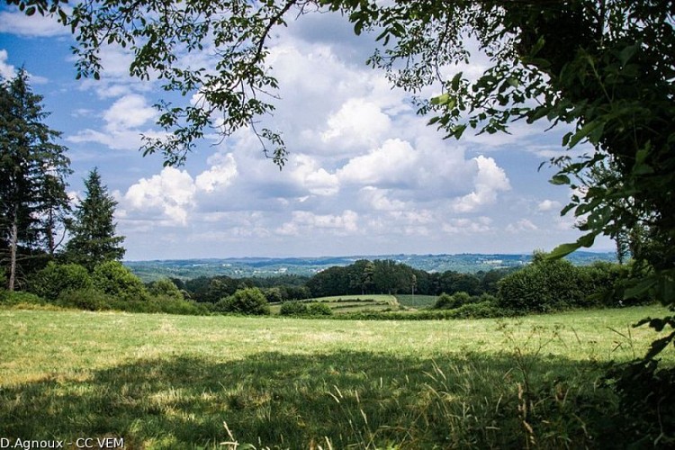
Vue panoramique
Après la croix des Rivailles le paysage s’ouvre.Du village du Battut, on peut suivre des yeux la vallée de la Luzège serpentant entre les plateaux. A l’horizon deux massifs volcaniques se distinguent:le massif du Sancy à gauche, et le Cantal à droite.
Additional information
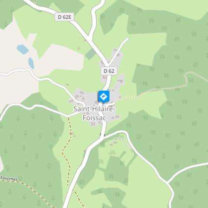
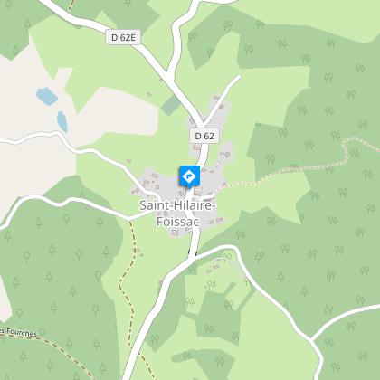
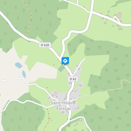
Advised parking
Place de l'église, Saint-Hilaire-Foissac
Access
12 km southeast of Egletons by the D16 and D62E.
Ambiance
Servants of God and martyrs have left their names to many parishes. Such is the case of the commune of Saint-Hilaire-Foissac, which still has monumental crosses on its land, probably arranged along an ancient route.
Arrival
Place de l'église, Saint-Hilaire-Foissac
Departure
Place de l'église, Saint-Hilaire-Foissac
