To see around
See more
Open
Close
Show
Show
Show
Show
Show
Show
Show
Show
Show
Show
Show

Oups... It would appear that Cirkwi does not have permission to use your location.

Description
Map
Steps
Points of interest
Ratings and reviews
See around

The Taillefer plateau and Lac Fourcu (via Le Poursollet)

The Taillefer plateau and Lac Fourcu (via Le Poursollet)

Description

The wetlands of the Taillefer plateau extend over several square kilometres and include several lakes, including the famous Lac Fourchu.

Starting from Alpe-du-Grand-Serre, take the D114E signposted "Lac de Pousollet". Park at the lake and take the right-hand lakeside path. After passing through chalets, it opens out onto a wide grassy plateau, with the rock faces of the Rocher Culasson on the right. The path gradually gets steeper, climbing up to the Taillefer plateau, where the scenery suddenly changes, offering lovely views over the whole of Oisans. Walk along the right-hand side of the lake and continue up to the Pas de l'Envious, the highest point of the hike, where you can see the Meije and the Aiguilles d'Arves. Then take the left-hand fork and start to descend, walking around the little Lac du Canard. Then follow the edge of the plateau and carry on downwards in the valley created by the Rioupéroux stream. Walk into the forest and continue on the track back to the car park at Lac Poursollet.

Technical informations

This circuit was updated on: 13/04/2024
12 km
4 h
max. 2113 m
min. 1628 m
600 m
Public : Family

Altimetric profile

Starting point

38220 Livet-et-Gavet
Lat : 45.053129Lng : 5.899009

Points of interest

image du object

Les Aiguilles d'Arves

An emblematic silhouette in Maurienne. The Aiguilles d'Arves dominate the Arvan valley. The prettiest trilogy of the Alps according to the british Coolidge who was the first to officially ascent it in 1878.The highest of needles peaks at 3514 meters, it is the Southern Needle. Others are named the Central Needle (3513m) and the Northern Needle also called The Head of Cat (3 358 m and 3 364 m). Accessible out of the snowy period and depending on the weather conditions. Information about the access and weather forecast : contact the tourist office. In winter, the site of Le Chalmieu is inevitable to practice snowshoeing in our Mountains of Arvan-Villards. 3 ideas of hikes in summer : - The Easy Walk of Discovery The Savoy Les Aiguilles d'Arves: Easy walk. Accessible to strollers and people with reduced mobility. Duration: 1h30/2h. Circuit marked by interactive bornes : discovery of high mountain pastures and th life of the alpine inhabitants. - The Foot of Les Aiguilles d'Arves: departure hamlet Le Chalmieu 73300 Albiez-Montrond (1900m) - arrival La Basse du Gerbier (2578m) - 5h30 round trips. - Departure from Entraigues (1250m) in St. Jean d'Arves, hike making a loop route, to do with a bivouac : one made uneven positive of 1400 meters. Without a bivouac : have 2 cars, one parked in le Chalmieu.

- Office de Tourisme Saint Jean d'Arves - Les Sybelles -
Consulter
image du object

La Meije

La Meije is a mountain in the Massif des Écrins, located at the border of Hautes-Alpes and Isère départements. It overlooks the nearby village of La Grave,a mountaineering centre and ski resort,well known for its off-piste and extreme skiing possibilitiesNeighboring peaks are Le Râteau (3,809 m) to the west, past the Brèche de la Meije (3,357 m) and fr:Le Pavé (3,823 m) and Pic Gaspard (3,881 m) to the southeast, past the Brèche Maximin Gaspard (3,723 m) The central summit has five teeth, the highest of which is known as Doigt de Dieu (English: Finger of God). This summit was reached from the northeast on June 28, 1870, by Christian and Ulrich Almer and Christian Gertsch, guiding Meta Brevoort and W.A.B. Coolidge. The ridge from the central to the main, western peak, which is 13 meters higher, was considered an insurmountable obstacle for the next 15 years. The true summit of La Meije is notorious in that there is no "easy" path to the top and it was the last major peak in the Alps to be summited. The first ascent was eventually made from the southwest on 16 August 1877 by father and son Pierre Gaspard and their client Emmanuel Boileau de Castelnau. Their approach, over the south buttress Arête du Promontoire and further over the Glacier Carré and the southwest face of the Grand Pic is now the normal route. On July 26, 1885, Ludwig Purtscheller and the brothers Otto and Emil Zsigmondy made the first traverse from the central to the main summit, via the "insurmountable" gap that is now known as the Brèche Zsigmondy, in what is still considered a classic route. The traverse in the opposite direction was accomplished 6 years later by Ulrich Almer, Fritz Boss and J.H. Gibson. The south face is widely considered to be the most difficult of La Meije. Within two weeks after their successful traverse, the Zsigmondy brothers, together with Karl Schulz, tried to reach the Brèche Zsigmondy over the south face, but Emil died in the attempt. The first successful attempt was not until twenty-seven years later, in 1912 by Angelo Dibona, Luigi Rizzi, and the brothers Guido and Max Mayer, while a direct route over the south face to the Grand Pic was only climbed in 1935 and that to the Central Pic in 1951

La Meije La Grave 05320 La Grave
- Office de tourisme des Hautes Vallees -
Consulter
image du object

Natura 2000 : le Taillefer

Landes, tourbières et milieux rocheux du Massif du Taillefer ont entraîné l'attribution du label Natura 2000. Remarquables par sa richesse biologique, le site abrite 28 "habitats" d’intérêt communautaire dont 5 prioritaires pour leur conservation.A découvrir ! En ouvrant grands les yeux, les mains dans les poches et en faisant attention où vous mettez vos semelles ! Un patrimoine naturel exceptionnel : Le massif du Taillefer s'est formé il y a 600 millions d'année. Au moment où les glaciers se sont retirés, il y a 12 000 ans, le glacier situé sur le massif du Taillefer a façonné le paysage que l'on observe aujourd'hui : un massif constellé de lacs. Les conditions extrêmes d’humidité, d’acidité, de froid qui règnent sur le massif ne permettent pas aux micro-organismes de dégrader la matière végétale : elle s’accumule et forme la tourbe des tourbières. Beaucoup d’espèces se sont adaptées à ces milieux difficiles. La sphaigne, mousse des tourbières, est une véritable éponge : elle peut stocker jusqu’à 30 fois son poids en eau ! La Drosera, petite plante carnivore ou doux nom médiéval « Rosée du soleil » se nourrit d’insectes pour compenser le déficit en azote du sol. Le Lézard vivipare s’est adapté au froid : son sang contient des molécules antigel. Autrefois terres de légende, les tourbières sont maintenant mieux connues : elles purifient l’air et l’eau, elles sont de véritables châteaux d’eau naturels, elles sont la mémoire des climats passés (la tourbe est un très bon conservateur), elles abritent des espèces en voie de disparition. La conjonction de facteurs naturels, climatiques et les activités pastorales ancestrales ont engendré une biodiversité exceptionnelle sur le site Natura 2000 du massif du Taillefer. Une richesse biologique remarquable avec 28 « habitats » (ou milieux naturels) d’intérêt communautaire dont 5 sont prioritaires pour leur conservation. 645 espèces végétales ont été inventoriées et pas moins de 191 espèces animales. L'action de l'homme : Le pastoralisme utilise environ 50% de la surface du site avec 4 alpages. Des mesures agri-environnementales sont proposées aux éleveurs souhaitant s’engager en faveur de la biodiversité. Des pratiques pastorales extensives sont encouragées : adaptation du pâturage au cycle des végétaux, prise en compte des zones humides, non dérangement du Tétraslyre en période de reproduction… La fréquentation touristique (pédestre, équestre, VTT, ski) est importante sur ce site, en raison de sa beauté et de son accessibilité. Natura 2000 travaille à la sensibilisation et l’éducation à l’environnement : « mieux connaître pour mieux protéger". Que puis-je faire ? En randonnée, pour que le paysage et la biodiversité continuent de nous émerveiller : - Je reste sur les sentiers balisés (peinture, pancarte…). Je ne prends pas de raccourcis qui provoquent une érosion du sol, détruisent la végétation et dérangent la faune sauvage et les troupeaux… - Je tiens mon chien en laisse pour ne pas déranger la faune sauvage et les troupeaux domestiques. - Je ne fais pas de feu en montagne. Cela détruit le sol pour des décennies. - Bivouac, chevaux réglementés dans la section Gavet-Clavaux Natura 2000, qu’est-ce-que c’est ? La nature et sa préservation n’ont pas de frontières. Avec la volonté de maintenir la richesse naturelle du continent européen tout en tenant compte des activités sociales, économiques et culturelles, l’Europe a créé le plus grand réseau écologique mondial : le réseau Natura 2000. Il regroupe 27 000 sites en Europe. En France, le réseau comprend 1 753 sites qui couvrent 12,5 % du territoire. Natura 2000 est une démarche participative et volontaire. Son objectif est de préserver des milieux naturels d’intérêt européen garant d’un cadre de vie de qualité pour les générations à venir.

- Oisans Tourisme -
Consulter

Date and time

  • From 01/05/2024 to 31/10/2024
  • From 01/05/2025 to 31/10/2025

Additional information

Updated by

Isère Attractivité - 07/02/2024
www.alpes-isere.com
Report a problem

Open period

From 01/05 to 31/10.

Subject to favorable weather.

Contact

Phone : 04 76 56 24 72

Location complements

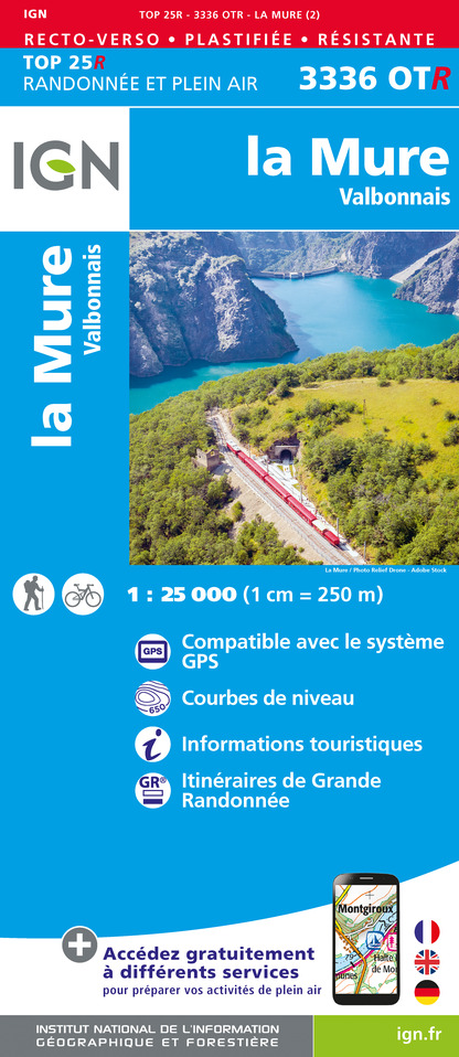
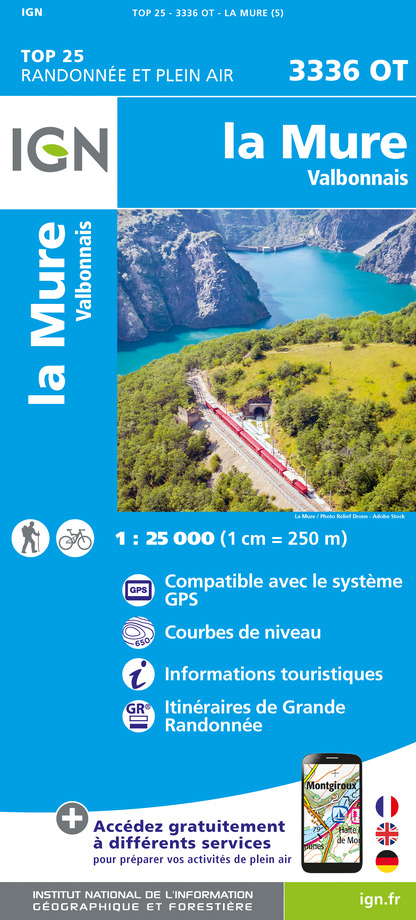
Map: Le Pays du Valbonnais / IGN TOP 25 no. 3336OT La Mure

Ratings and reviews

To see around
See more
Open
Close
Show
Show
Show
Show
Show
Show
Show
Show
Show
Show
Show