Alert
Alerts
The Montagne des Anglais hiking circuit


Description
This hike which is on the outskirts of Saint-Affrique, is a pleasant getaway on one of the seven hills that surround the city, this hike is punctuated with the discovery of an appealing rural heritage, a farm on the causse, a cross, fountain and drinking trough in Vailhauzy. As soon as you leave the carpark, turn immediately right and take the rue Baudin. Walk up the road, follow a large curve and on the second bend turn left. Follow the paved path that turns into a track up to the junction with the road. Follow the road to the left and walk past some houses at a place called «Julhac».Leave on the road to the right that goes to Vailhauzy. Turn left at the next intersection, 50 m further on leave the road and take the raised path to the right. Follow this path between some undergrowth and join a trail on your left that you follow up to the Soulsou farm. Exit the farm to your left and take the trail to your right. Carry on up to the Canissac farm.Leave the farm by taking the exit to the left, once past the hamlet take the trail that goes straight up to the right and leads to the Saint Privat farm. Walk alongside the farm and join a trail which turns into a path through some undergrowth. Walk along the brook down towards the Plô de Moussigny. Above the buildings of the Plô, leave the path by turning left and carry straight on to join a wide path, then reach the tarmac road that leads to Vailhauzy.Walk through the village from East to West, taking the tarmac track which you follow throughout its length. At the intersection at a crossroads, continue straight ahead and after approximately 2 km, leave the road.Take the descending path to the left towards Julhac and retrace your steps back to Saint-Affrique following the way you came.
Technical Information
Altimetric profile
Starting point
Steps
Points of interest


Additional information
Public transport
Travel by bus or train: lio.laregion.fr/carpooling : BlaBlaCar, Rézo Pouce, Mobicoop, Idvroom, LaRoueVerte, Roulez malin
Advice
Box tree months are active from May to October. During the caterpillar phase, they feed on the leaves of box trees. They crawl down trees and move on long silken threads, although these threads are annoying when hiking they do not pose any health risk
Advised parking
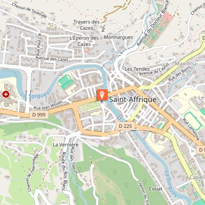
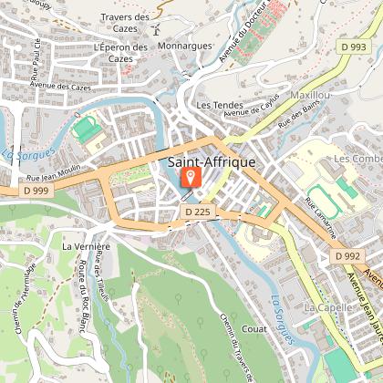
Saint-Gabriel carpark, rue Lamartine in Saint-Affrique
Access
Saint-Affrique is situated 31 km South-West from Millau via the D992 and D999. From Clermont-Ferrand and Montpellier, via A75, exit 46, then follow the D999. From Toulouse/Albi via the D999.
Arrival
Saint-Gabriel carpark, rue Lamartine in Saint-Affrique
Ambiance
Were the skeletons found in the medieval necropolis of Soulsou the remains of English soldiers dating back to the one hundred years war? The oral tradition says so! The Montagne des Anglais welcomes you to enjoy this pastoral hiking loop that goes up to the hamlet of Vailhauzy spread out across the hillsides. A point of interest worth seeing on the way is the Soulsou farm with its typical caussenarde architecture.
Departure
Saint-Gabriel carpark, rue Lamartine in Saint-Affrique
Data author
