Alert
Alerts
Hiking trail - The summit of Les Brasses from Les Lavouets
Description
This easy hike will lead you through alpine pastures to the summit of Pointe des Brasses (1,503 m), where you can enjoy exceptional panoramic views of the Mont Blanc, the Aravis, Geneva's Lake...
The climb is visible, so there is no difficulty in reaching the summit except for the final climb, which is a little steeper.
Step-by-step guide available by clicking on the printer icon.
Technical Information
Altimetric profile
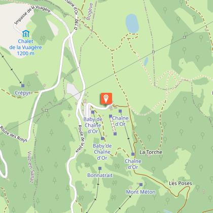
Starting point
Additional information
Environments
Mountain view
Panoramic view
Mountain location
Updated by
Môle et Brasses Tourisme - 05/03/2026
www.mole-brasses.com/fr
Report a problem
Open period
From 05/01 to 11/15.
Contact
Phone : 04 50 36 49 18
Email : info@mole-brasses.com
Website : https://www.mole-brasses.com/fr
Facebook : https://www.facebook.com/molebrassestourisme/
Google+ : https://g.co/kgs/srQr9F2
Type of land
Stone
Ground
Grit
Not suitable for strollers
Animals
Yes
Data author
