Alert
Alerts
Type of practice
Walking
Medium
3h45mn
Mountainbiking
Medium
1h30mn
Presentation
Description
Map
Steps
Points of interest
Ratings and reviews
See around
Lindeul Trail MOLAC

Credit : Pays Touristique Vannes-Lanvaux
Description
To the north of Questembert, the town of Molac is perched on a hill overlooking the Valley of Arz. The town's architectural heritage reflects its history, which is thousands of years old. The trail heads toward the River Arz and takes the Voie Verte (Green Lane), the old railway. It crosses the Grées (shale-like hills) of Lindeul. Finally, it penetrates the vast forest of Lanvaux.
Please follow the yellow marks.
Technical Information
Walking
Difficulty
Medium
Duration
3h45mn
(1d)
Dist.
13 km
Type of practice
Walking
Medium
3h45mn
Mountainbiking
Medium
1h30mn
Show more
Altimetric profile
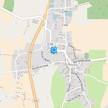
Starting point
14
Rue Saint-Pierre
,
56230
Molac
Lat : 47.73235Lng : -2.43748
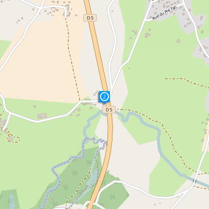
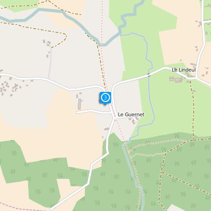
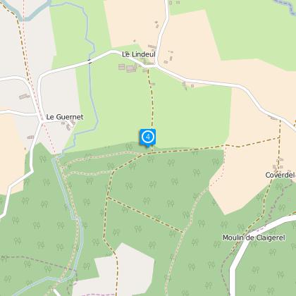
Steps
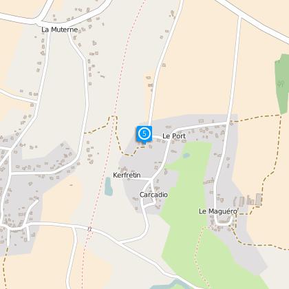
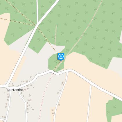
Points of interest


Data author

proposed by
Rochefort-en-Terre Tourisme
13 Rue des Halles 56230 Questembert France
Ratings and reviews
To see around