Alert
Alerts
Foot path "Le Mont Vorès"

Description
This place is representative of the mountain pastures of the Beaufortain massif. The route allows to make three mountains of Praz on Arly Crêt du Midi, Ban Rouge, Mont de Vorès.
0730 of march with 0430 of ascent. Check the weather forecast before setting off.
Pack your rucksack with cereal bars, plenty of water, sunglasses, sun cream, a small first-aid kit and the right clothes for your outing, depending on the season and the weather forecast. Always ask mountain professionals for advice.
Technical Information
Altimetric profile
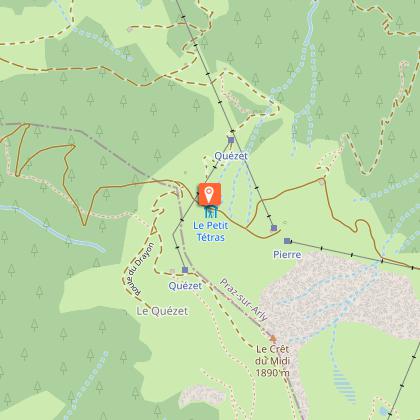
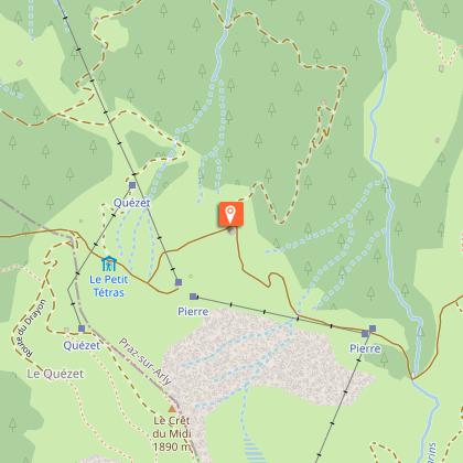
Starting point
Points of interest
Date and time
- From 01/06/2026 to 31/10/2026
Additional information
Updated by
Office de Tourisme de Praz-sur-Arly - 12/06/2025
www.prazsurarly.com
Report a problem
Environments
Mountain location
Tips
You can do the hike in 2 steps, spending the night at the refuge of the "petit tétras"
Open period
From 01/06 to 31/10 : open daily.
Contact
Email : accueil@mairie-prazsurarly.fr
Website : http://www.mairie-prazsurarly.com
Topo guides and map references
Topo guides references :
Itinerary referenced in the topo guide "Hiking trails in the Pays du Mont - Blanc" sold with the map - 6€ at the tourist office.
Animals
Yes
