Alert
Alerts
Le sentier des Cascades


IGN cards


Description
This essential Haute Clarée trail follows the river through fields and forests, waterfalls and alpine chalets to Fontcouverte. Great for family outings, it's accessible from an early age.
Many people have fallen in love with the Clarée by starting on this emblematic hike: the landscapes encountered along this crystal-clear river are simply magnificent in every season. In spring, it offers an explosion of flowers and colors, in summer it is refreshing, while the larch trees take on their golden yellow hues in autumn.
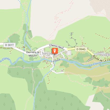
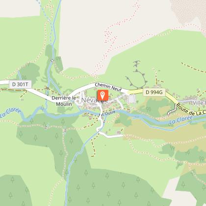
Departure is from the Névache Ville-Haute parking lot. Enter the village to reach the Église Saint-Marcellin. Take the lane on the left after the church and cross the Outre bridge.
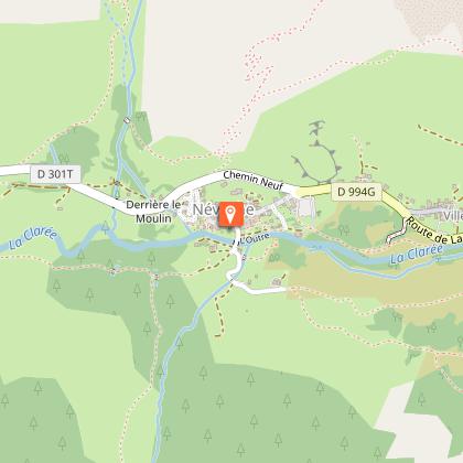
Take the path on the right, bordered by a low wall, via the GR 57 A, and walk around the small Notre-Dame-de-Lourde chapel to reach the edge of the forest. The route follows the river from beginning to end on the right bank.
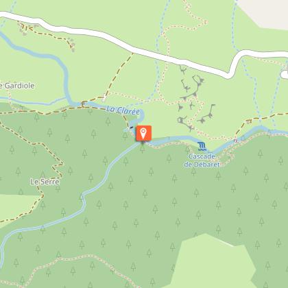
After a slight climb over the footbridge at the Débaret waterfall, follow the small detour upstream to avoid the landslide in the stream, then continue towards the Buffère refuge as far as the Rately bridge.
Leave the ascent to the refuge de Buffère on the left and follow the small path on the right towards the hamlet of Fontcouverte.
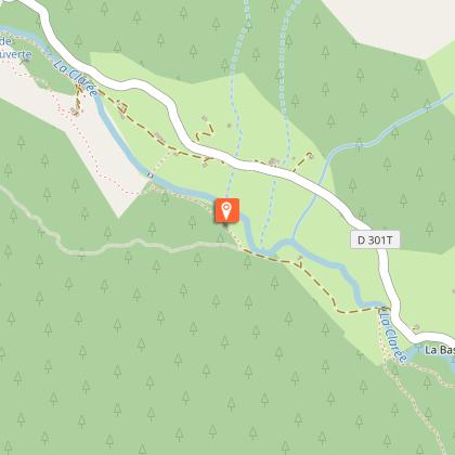
Continue straight on, skirting the Basse-Gardiole chalets. At the Souchère bridge (do not cross the bridge): follow the path across a plain to the Meuille chalets.
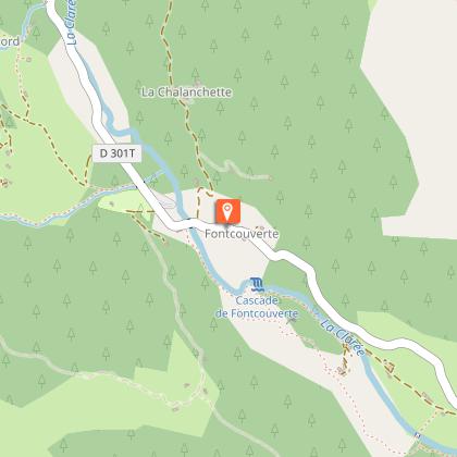
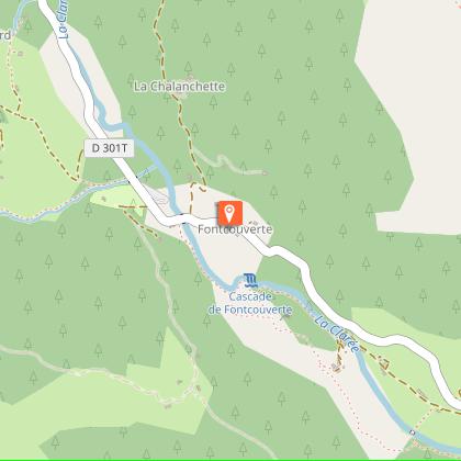
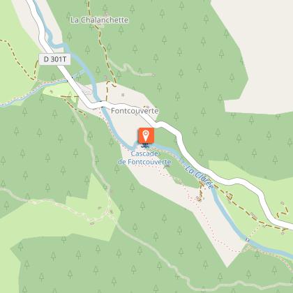
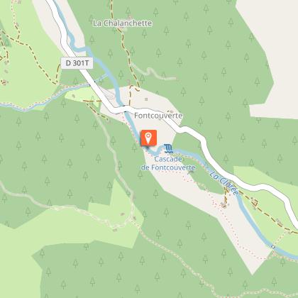
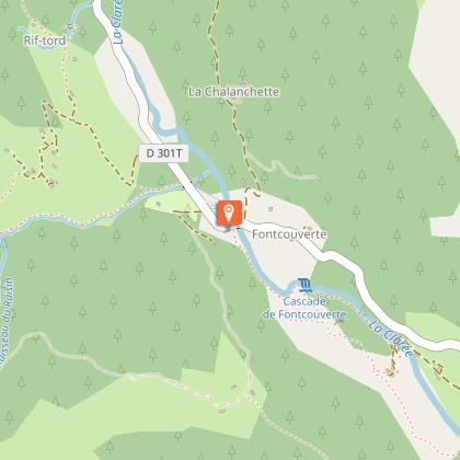
From the waterfall, it's just a ten-minute walk to the hamlet of Fontcouverte, where you'll find the emblematic Sainte-Marie-de-Foncouverte chapel.
Technical Information
Altimetric profile
Starting point
Steps


Points of interest


Additional information
Environments
Riverside
Mountain view
Mountain location
Close to a public transportation
Presence of livestock and guard dogs
Updated by
Office de tourisme des Hautes Vallées - La Grave - La Clarée - L'Izoard - 24/11/2025
www.hautesvallees.com/la-grave/
Report a problem
Contact
Phone : 04 92 20 02 20
Email : claree@hautesvallees.com
Website : https://www.hautesvallees.com/la-claree/
Facebook : https://www.facebook.com/ClareeTourisme
Reception complements
When crossing a Natura 2000 site, please stay on the marked route to preserve the vegetation. Please preserve the tranquility of the area and keep your garbage to yourself.
Animals
Yes
Data author
