Alert
Alerts
Vaujany and Col du Sabot


IGN cards


Description
The small and narrow road to Col du Sabot threads through the alpine pastures of Vaujany. The climb is strenuous. Here, it is not unusual to come across a few cows! At the end of the ride, you will be rewarded with a view over the Lake Grand Maison.
Itinerary no. 12 of the “Cycling in Oisans” guide (Oisans Tourisme)
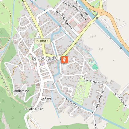
Departure / Arrival: Bourg d’Oisans 720 m
Time: 2 h 30
Distance (R/T): 57 km
Highest point: 2100 m
Lowest point: 710 m
Total ascent: 1565 m
Max. gradient: 12%
Map: Michelin Local Map no. 333 Isère, Savoie
ITINERARY
From Bourg d’Oisans, follow the D1091 towards Grenoble.
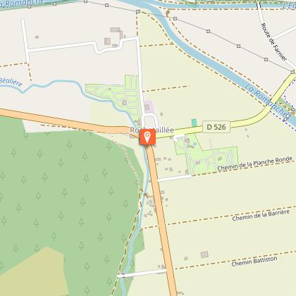
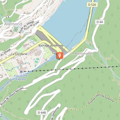
In Rochetaillée, take the direction of “Allemond / Vaujany”.
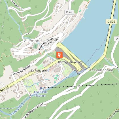
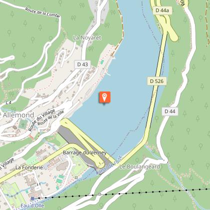
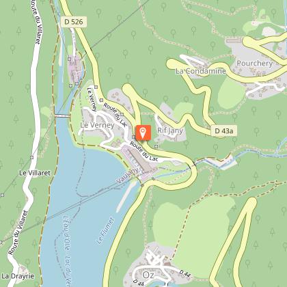
After Allemond, climb up 2 hairpin bends to get to the top of the Verney dam. At the end of the dam, follow the route along the shore of Lake Verney towards Vaujany.
At the end of the lake, turn right and start climbing up to the Col du Sabot. You will pass through 4 hamlets before arriving at Vaujany.
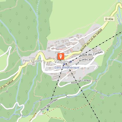
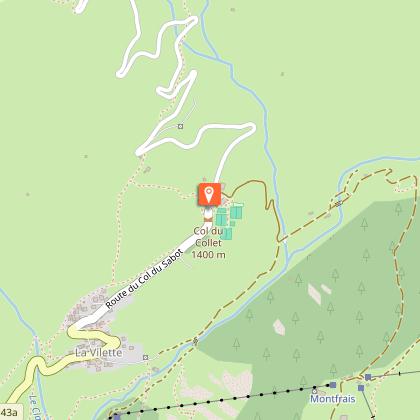
Once in Vaujany, cycle towards “Vaujany - Village”. Cross the village in the direction of La Villette / le Collet.
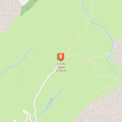
At Collet, keep following the road, from here you have 7 km climb up to Col du Sabot (2100 m).
THAT LITTLE BIT FURTHER: Les cheminées d’équilibre
You can add the climb up the “Cheminées d’équilibre” as you enter Vaujany.
It is a pastoral although rather strenuous itinerary offering a charming view over a lovely sunny mountainside facing the glaciers of the Grandes Rousses massif and the waterfalls of La Fare.
---
Distance (R/T): 10 km
Time: 1 h
Total ascent: 510 m
HISTORY
For centuries, the Col du Sabot was the gateway to cross the border between France and Savoy. The word “Sabot” comes from “Sabaudia” which means Savoy in the dialect. This border and its customs disappeared in 1850 with the annexation of Savoy to France. With the development of the road network and the democratization of cars, this route was gradually abandoned in favour of the current road that joins Col du Glandon and Col de la Croix de Fer by Rivier d'Allemond.
Technical Information
Altimetric profile
Starting point
Steps
Additional information
Environments
Lake view
Mountain view
Mountain location
Updated by
Oisans Tourisme - 15/10/2025
www.bike-oisans.com
Report a problem
Open period
From 01/06 to 15/11.
Contact
Phone : 04 76 80 03 25
Email : info@oisans.com
Website : https://www.bike-oisans.com
Topo guides and map references
Topo guides references :
Itinerary no. 12 of the “Cycling in Oisans” guide (Oisans Tourisme)
Map references :
Michelin Local Map no. 333 Isère, Savoie
Data author
