Alert
Alerts
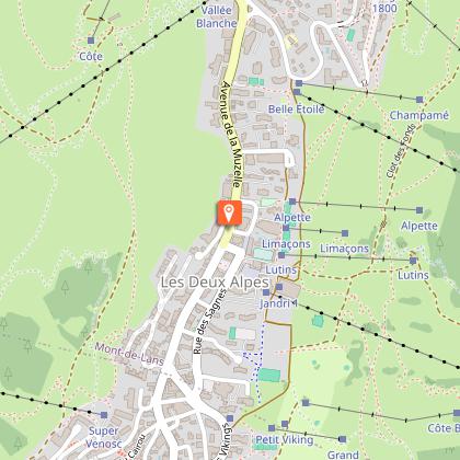
The climb up to 2 Alpes
Description
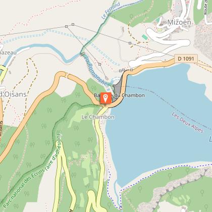
Once you have cycled past the “Rampe des Commères”, access to the foot of the hill up to Les Deux-Alpes is not particularly difficult. The climb from the Chambon dam is 9 km long with an 8% gradient on a wide and well-maintained road.
Itinerary no. 18 of the “Cycling in Oisans” guide (Oisans Tourisme)
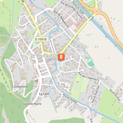
Departure / Arrival (loop): Bourg d’Oisans 720 m
Time: 2 h 30
Distance: 42 km
Highest point: 1663 m
Lowest point: 720 m
Total ascent: 1268 m
Max. gradient: 10%
Map: Michelin Local Map no. 333 Isère, Savoie
ITINERARY
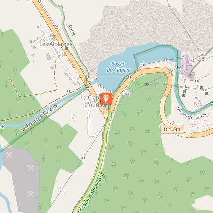
From Bourg d’Oisans, follow the D1091 towards “Briançon / Les 2 Alpes” as far as the Chambon dam. You will go through 4 lit tunnels on this portion. For your safety, make sure you are visible.
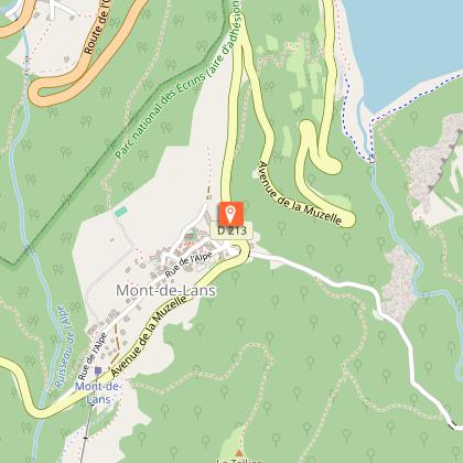
Just before the dam, turn right and follow the D213 to Les 2 Alpes.
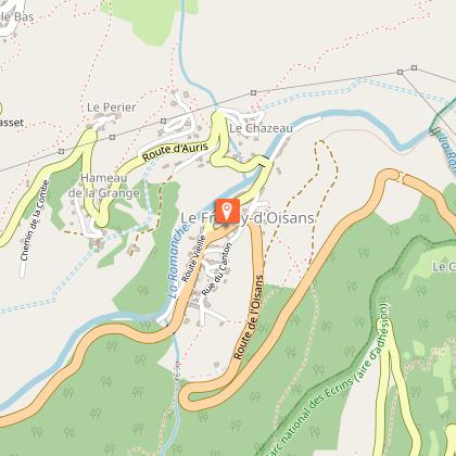
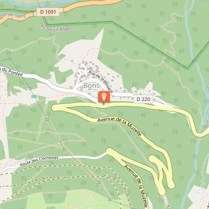
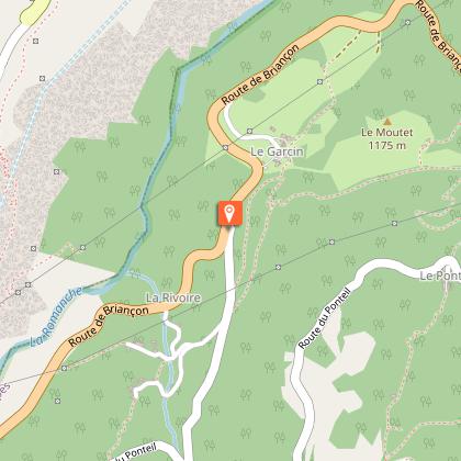
Go back down via Bons on “route des Travers”. After 4 km along the drop down from 2 Alpes, turn left towards Bons, then go through Le Ponteil. Continue on this small and narrow road to the bottom. You will catch up with the D1091 that you took on the way out a little bit before the tunnel “Rampe des Commères”.
ALTERNATIVE ROUTE: Via the Venosc cable car
From Bourg d’Oisans follow the D1091 towards Briançon. After 5 km, follow the road D530 towards La Bérarde. Stop at Venosc and take the cable car to Les 2 Alpes.
Please note that the cable car only operates during the winter and summer seasons. Tickets can be purchased from the cable car ticket offices.
---
Distance: 8 km
Time: 50 min
Total ascent: 250 m
Technical Information
Altimetric profile
Starting point
Steps
Date and time
- From 01/05/2026 to 15/11/2026
- From 01/05/2027 to 15/11/2027
Additional information
Environments
Mountain view
Mountain location
Updated by
Oisans Tourisme - 20/03/2026
www.bike-oisans.com
Report a problem
Open period
From 05/01 to 10/31 : open daily.
Contact
Phone : 04 76 80 03 25
Email : info@oisans.com
Website : https://www.bike-oisans.com
Topo guides and map references
Topo guides references :
Itinerary no. 18 of the “Cycling in Oisans” guide (Oisans Tourisme)
Map references :
Michelin Local Map no. 333 Isère, Savoie
Data author
