Alert
Alerts
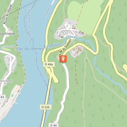
The steep climb to Oz-en-Oisans
Description
No major difficulty for this itinerary. First you will warm up your legs on the Bourg d'Oisans plain before gradual climb along the Eau d'Olle Valley up to Oz-Station. You will enjoy the view over Lake Verney and the Belledonne mountains.
Itinerary available on the "Vélo en Oisans" map (Oisans Tourisme)
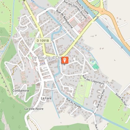
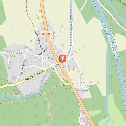
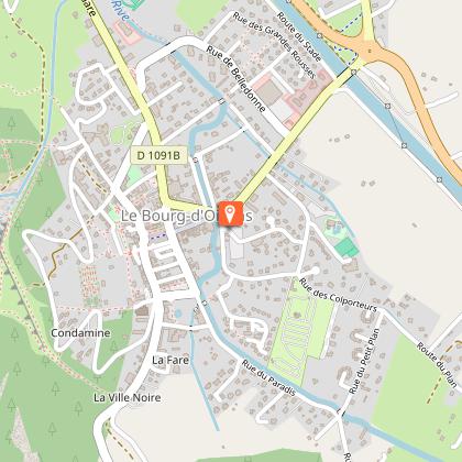
Departure / Arrival: Bourg d’Oisans 720 m
Time: 2 h 20
Distance (R/T): 42 km
Highest point: 1344 m
Lowest point: 710 m
Total ascent: 732 m
Max. gradient: 10%
Map: Michelin Local Map no. 333 Isère, Savoie
ITINERARY
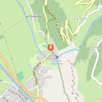
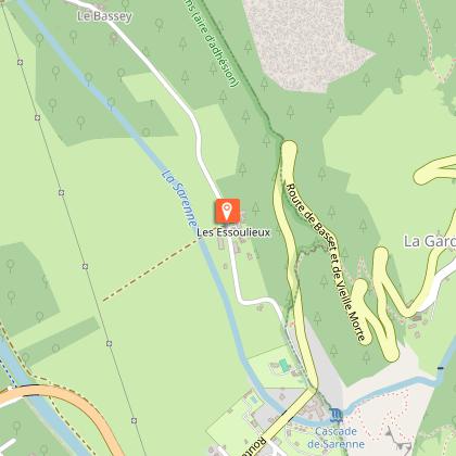
From Bourg d’Oisans, follow the road towards Alpe d’Huez. At the bottom of the climb, turn left and follow the small road to Bassey - Les Essoulieux.
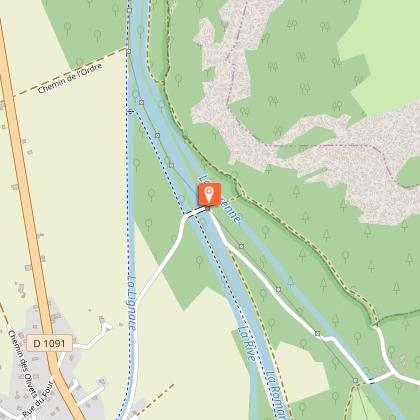
Follow the tarred road as far as the hamlet “3 ponts” and catch up with the D1091 at La Paute. Turn right and ride towards Grenoble.
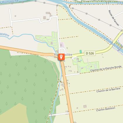
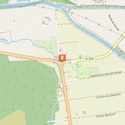
In Rochetaillée, turn right and cycle towards Allemond. After the bridge “pont Rouge”, turn right and follow the D44 towards Villard Reculas.
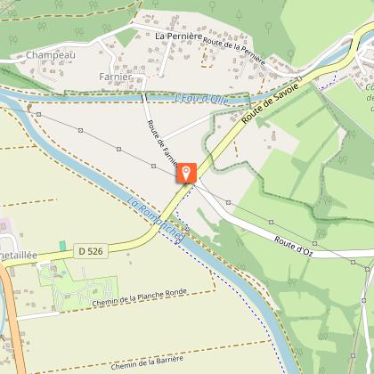
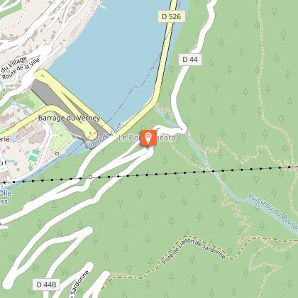
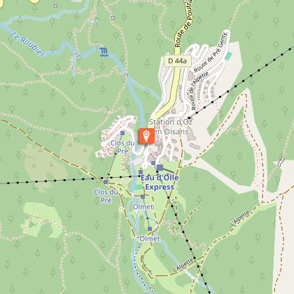
Cycle through the hamlets of Raffour and La Beurrière. Keep climbing and follow the small road to Le Boulangeard on the D44a. Then at the crossroads go to “Oz-en-Oisans Station”.
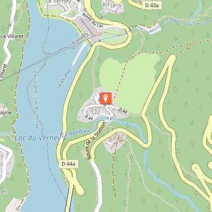
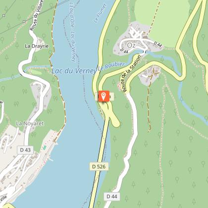
On your way back keep going until you reach the Lake Verney and turn left towards Allemond. Go through Allemond and then go back to Bourg d’Oisans.
ALTERNATIVE ROUTE: Return via Alpe d’Huez
At “Oz station” you can get on the Poutran cable car which will take you to the skiing area of Alpe d’Huez.
When you get off the cable car at the top, you will need to carry your bicycle on the track that lies beneath you (5 min) in order to get to the road to Lake Besson.
From Alpe d’Huez, ride the resort's famous 21 hairpin bends back to Bourg d’Oisans.
Remember that the Poutran cable car only operates during the summer and winter seasons. Tickets can be bought from the local ski lift and cable car ticket booths.
---
Distance: 18 km
Time: 1 h
Total descent: - 1475 m
Technical Information
Altimetric profile
Starting point
Steps
Date and time
- From 01/05/2026 to 15/11/2026
- From 01/05/2027 to 15/11/2027
Additional information
Environments
Mountain view
Lake view
Mountain location
Updated by
Oisans Tourisme - 24/06/2026
www.bike-oisans.com
Report a problem
Contact
Phone : 04 76 80 03 25
Email : info@oisans.com
Website : https://www.bike-oisans.com
Topo guides and map references
Topo guides references :
This route is available on the "Vélo en Oisans" map (Oisans Tourisme)
Map references :
Michelin Local Map no. 333 Isère, Savoie
Data author
