Alert
Alerts
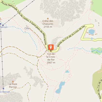
Col de la Croix de Fer - Col du Glandon
Description
A beautiful tour in the Eau d'Olle Valley that will lead you to the borders of Oisans on the Savoy side. The climb is steep up to the Lake Grand Maison. Your calf muscles will certainly remember some of the sections. But once on the top, what a joy!
Itinerary available on “Vélo in Oisans” map (Oisans Tourisme)
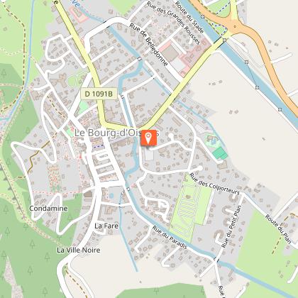
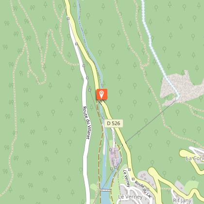
Departure / Arrival: Bourg d’Oisans 720 m
Time: 3 h 45
Distance (R/T): 80 km
Highest point: 2071 m
Lowest point: 710 m
Total ascent: 2086 m
Max. gradient: 12%
Map: Michelin Local Map no. 333 Isère, Savoie
ITINERARY
From Bourg d’Oisans, follow the D1091 towards Grenoble.
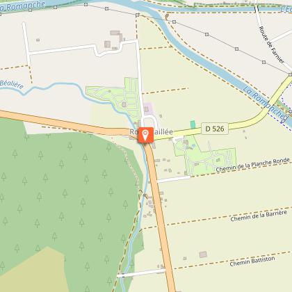
In Rochetaillée follow the route to “Allemond / Col du Glandon - Col de la Croix de Fer”.
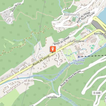
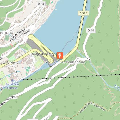
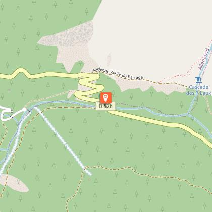
On leaving Allemond, climb up 2 hairpin bends to get to the top of the Verney dam. At the end of the dam, the route towards “Col du Glandon - Col de la Croix de Fer” will be signposted taking you alongside the Lake Verney.
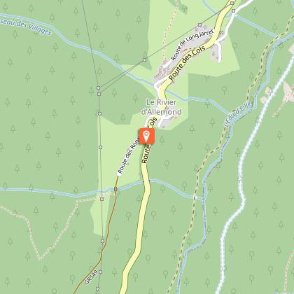
At the end of the lake, you will start a steep climb up to Rivier d'Allemond.
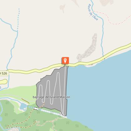
At Rivier, you can take a little breather before to dropping down to the bottom of the valley and then attacking a new strenuous climb up to Lake Grand Maison.
Once arrived at the lake, the steep-sided valley gives way to beautiful alpine pastures. The ride will be more easy-going from here to the Col de la Croix de Fer (2067 m).
After enjoying the view of the Aiguilles d'Arves, go back to Bourg d'Oisans by the same way.
LITTLE BONUS: Col du Glandon
On the way back, turn right towards Col du Glandon.
Distance (R/T): 440 m
Time: 5 min
Total ascent: 22 m
Technical Information
Altimetric profile
Starting point
Steps
Date and time
- From 01/05/2026 to 15/11/2026
- From 01/05/2027 to 15/11/2027
Additional information
Updated by
Oisans Tourisme - 24/06/2026
www.bike-oisans.com
Report a problem
Environments
Mountain location
Open period
From 05/01 to 10/31 : open daily.
Learn about the opening date of the path.
Contact
Phone : 04 76 80 03 25
Email : info@oisans.com
Website : https://www.bike-oisans.com
Topo guides and map references
Topo guides references :
This route is available on the "Vélo en Oisans" map (Oisans Tourisme)
Map references :
Michelin Local Map no. 333 Isère, Savoie
Reception complements
permanent time trial route. www.bike-oisans.com
Data author
