Col d'Ornon, Col de Parquetout
Description
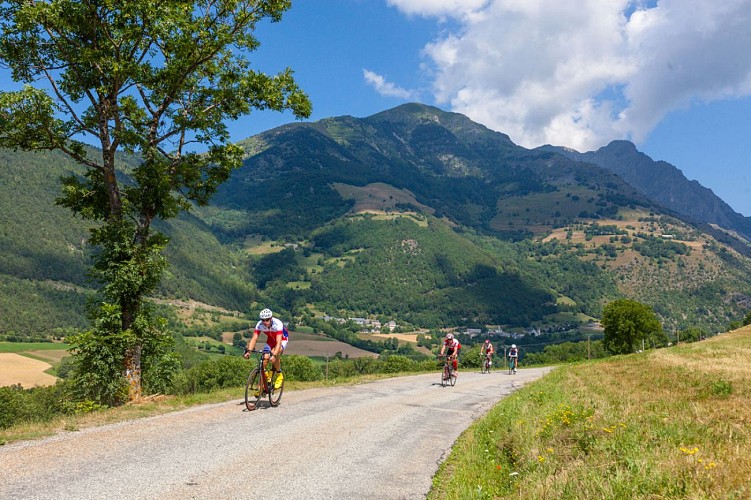
This fairly easy road through the Lignarre Valley is very popular among cyclists at the beginning of the season. The bravest cyclists will use this warming up to carry on to the Valbonnais side up to Col de Parquetout, one of the toughest in the region.
Itinerary no. 10 of the “Cycling in Oisans” guide (Oisans Tourisme)
Departure / Arrival: Bourg d’Oisans 720 m
Time: 1 h 20
Distance (R/T): 28 km
Highest point: 1380 m
Lowest point: 716 m
Total ascent: 764 m
Max. gradient: 10%
Map: Michelin Local Map no. 333 Isère, Savoie
ITINERARY
From Bourg d’Oisans, follow the D1091 towards Grenoble. After the second kilometre turn left and follow the D526 towards Valbonnais - la Mure - Ornon. You will reach Col d'Ornon after 14 km. The last few kilometres before you reach Col dOrnon are a little more challenging than the rest of the itinerary, but are never too exhausting.
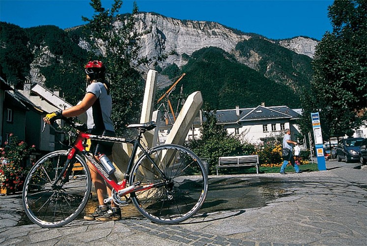
At the pass, you can take a break at the chalets and the restaurants at the ski resort of Col d'Ornon.
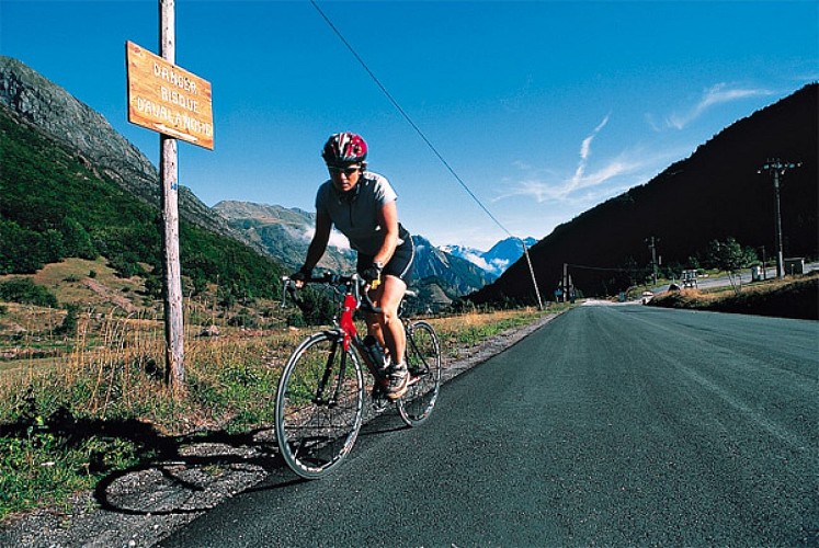
THAT LITTLE BIT FURTHER: Col de Parquetout
If you’re brave enough to continue up to the Col de Parquetout, the ride gets a lot tougher! Even though the climb is relatively short, there’s no let up. It is one of the toughest passes in Isère!
The maximum gradient is 16%, the average 10% and the minimum 9%... it sets the tone.
Ride down from the Col d’Ornon towards La Mure. Cross through Chantelouve and Entraigues. At kilometre number 16, leave the D526, turning left just before the bridge (clearly visible, with its wooden structure) leading to Valbonnais. You then have a 7 km ride up the D212f before reaching the col.
---
Distance (R/T): 48 km
Time: 3 h 30
Total ascent: 747 m
Technical informations
28 km
|
max. 1371 m
min. 717 m
764 m
| |||
Accessibility | ||||
Style : Mountain Public : CyclistsReserved for experts/confirmed | ||||
Altimetric profile
Starting point
Steps
Bourg d'Oisans
From Bourg-d’Oisans follow the RN91 towards Grenoble. After the second kilometre turn left and follow the D526 towards Valbonnais - la Mure - Col d’Ornon.
La Paute
Turn left and begin the road to Col d'Ornon. You will reach the pass after 14 km.
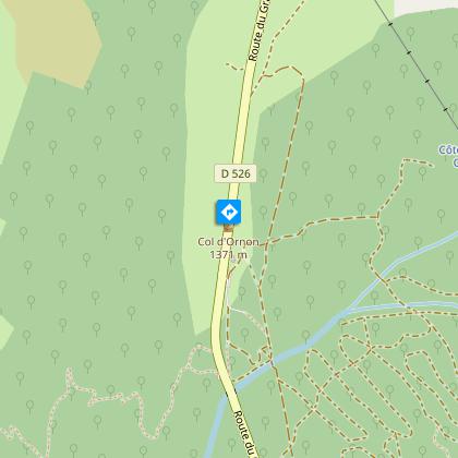
Col d'Ornon (1371m)
Etape possible au gîte ou au restaurant de la station de ski du col d’Ornon. L’hiver, cette petite station permet de s’initier aux joies du ski loin de la foule, dans une ambiance chaleureuse et familiale. L’été, découvrez toute la richesse d’un territoire de moyenne montagne au travers des différents hameaux qui constituent la commune d’Ornon. Retour par le même itinéraire.
Date and time
- From 01/05/2024 to 15/11/2024
- From 01/05/2025 to 15/11/2025
Additional information
Environments
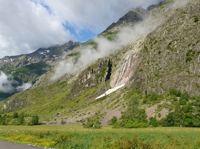
Mountain location
Mountain view
Updated by
Oisans Tourisme - 08/04/2024
www.oisans.com
Report a problem
Open period
From 04/01 to 10/31 : open daily.
depending on snow conditions.
Contact
Phone : 04 76 80 71 60
Email : info-allemond@oisans.com
Website :
www.bike-oisans.com
www.oisans.com/stations-et-villages/allemond/
Topo guides and map references
Topo guides references :
Itinerary no. 10 of the “Cycling in Oisans” guide (Oisans Tourisme)
Data author
