Alert
Alerts
Alpe d'Huez, the mythical climb
Description
Want to relive the moments of euphoria on this mythical stage of the Tour de France?
From Bourg d'Oisans, the climb has an incline of 7.9% over a total length of 13.8 km. No one has ever beaten Marco Pantani’s impressive record of 37’35’’.
This route is available on the "Vélo en Oisans" map (Oisans Tourisme)
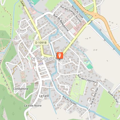
Start/Finish: Bourg d'Oisans 720 m
Duration: 2 hours
Distance (round trip): 31 km
Maximum elevation: 1,850 m
Minimum elevation: 720 m
Elevation gain: 1,266 m
Maximum gradient: 15%
Map: Michelin Isère and Savoie Department Map No. 333
ROUTE
Start in front of the Bourg d’Oisans tourist office.
From Bourg d’Oisans, head toward L’Alpe d’Huez. Enjoy a short kilometer of flat terrain before tackling the famous 21 turns.
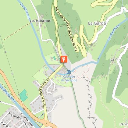
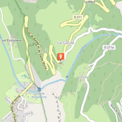
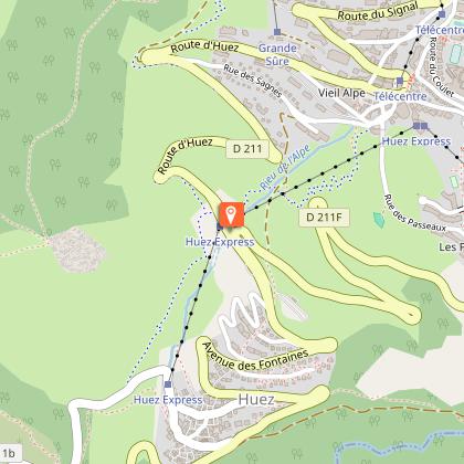
The start is very tough, with sections as steep as 12%. Be sure to pace yourself carefully during these first two or three kilometers. From Huez onward, 6 km from the finish, it becomes easier to find your rhythm.
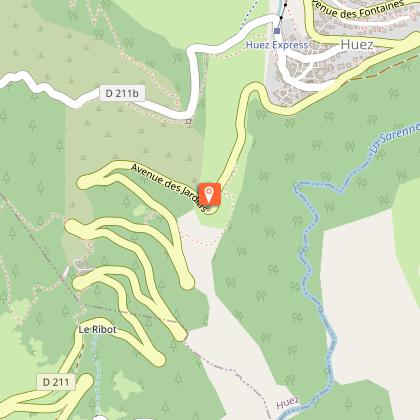
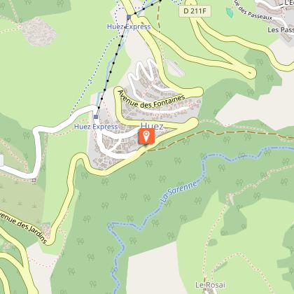
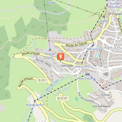
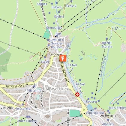
When you reach Alpe d’Huez, head toward the “Office de Tourisme,” then follow the signs for the “Tour de France Route” to the official finish line at the top of Avenue du Rif Nel (above the Étendard roundabout).
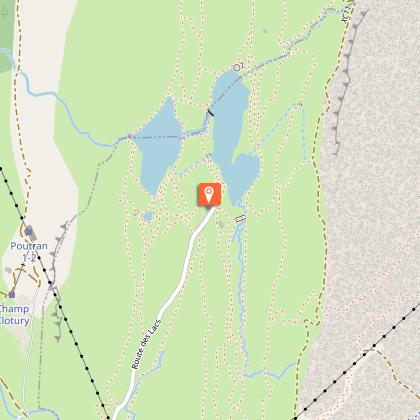
BONUS: Lake Besson
You can continue up the Alpe d’Huez climb to Lake Besson.
---
Distance (round trip): 8 km
Duration: 25 min
Elevation gain: 232 m
The Tour de France
Unique and magical—thanks to its route, its numbered turns, and its slopes lined with spectators—the “Alpe climb,” as it’s affectionately known, has become a mecca for cycling. On the day of the Tour, a sea of people lines the 14 km climb. The climb up Alpe d’Huez has become a legend.
Technical Information
Altimetric profile
Starting point
Steps
Date and time
- From 01/05/2026 to 15/11/2026
- From 01/05/2027 to 15/11/2027
Additional information
Environments
Mountain view
Mountain location
Updated by
Oisans Tourisme - 24/06/2026
www.bike-oisans.com
Report a problem
Open period
From 01/05 to 15/11 daily.
Subject to favorable snow and weather conditions.
Contact
Phone : 04 76 80 03 25
Email : info@oisans.com
Website : https://www.bike-oisans.com
Topo guides and map references
Topo guides references :
This route is available on the "Vélo en Oisans" map (Oisans Tourisme)
Map references :
Michelin Local Map no. 333 Isère, Savoie
Data author
