Alert
Alerts
La Marmotte
Description
La Marmotte is one of the most beautiful bicycle racing competitions. This long and difficult route (5016m ascent) will lead you between Oisans and Savoy via Col du Glandon and Col du Galibier ending with the 21 bends of Alpe d'Huez.... So, are you ready?
Itinerary no. 16 of the “Cycling in Oisans” guide (Oisans Tourisme)
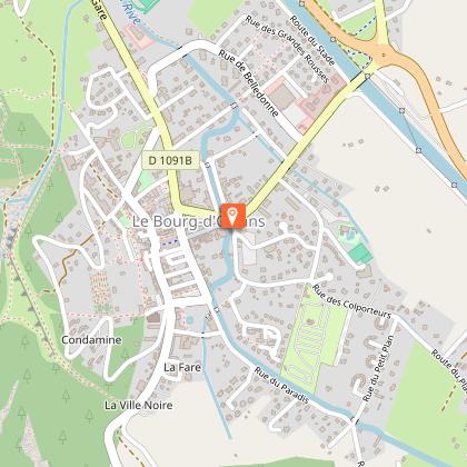
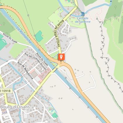
Departure: Bourg d’Oisans 720 m
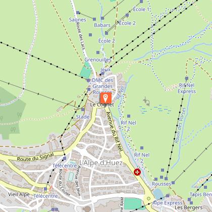
Arrival: Alpe d'Huez 1850 m
Time: 8 h
Distance: 177 km
Highest point: 2630 m
Lowest point: 463 m
Total ascent: 5016 m
Max. gradient: 14%
Map: Michelin Local Map no. 333 Isère, Savoie
ITINERARY
From Bourg d’Oisans follow the D1091 towards Grenoble.
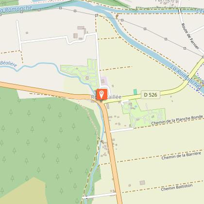
In Rochetaillée continue towards “Allemond / Col du Glandon - Col de la Croix de Fer”.
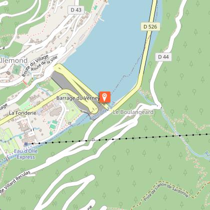
On leaving Allemond, climb up 2 hairpin bends to get to the top of the Verney dam. At the end of the dam, the route towards “Col du Glandon - Col de la Croix de Fer” will be signposted, taking you alongside the Lake Verney.
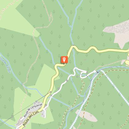
At the end of the lake, you will start a steep climb up to Rivier d'Allemond.
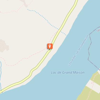
At Rivier, you can take a little breather before dropping down to the bottom of the valley and then attacking a new strenuous climb up to Lake Grand Maison.
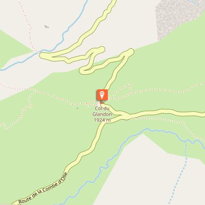
Once arrived at the lake, the steep-sided valley gives way to beautiful alpine pastures. The ride will be more easy-going from here to the Glandon Pass (1924 m).
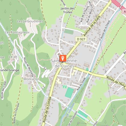
Once over the pass, continue along the D927 to Saint-Étienne-de-Cuines. Once you reached the village centre, fork to the D74 towards Sainte-Marie-de-Cuines. Pass under the motorway and take a right turn onto D1006 towards Saint-Jean-de-Maurienne, then towards Saint-Michel-de-Maurienne.
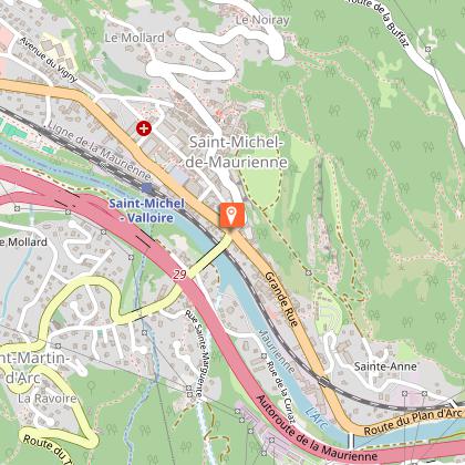
In Saint-Michel-de-Maurienne, turn right towards “Valloire / Col du Télégraphe / Col du Galibier”.
From Col du Télégraphe (1 570 m), cycle down and cross Valloire ski resort.
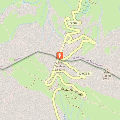
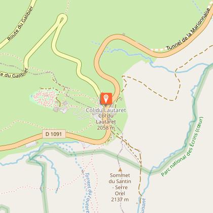
Here you are at last at the bottom of the legendary ascent of the Col du Galibier (2646 m). From the top of the pass, go down towards Le Lautaret (2058 m) to catch up with the D1091 and return to Bourg d’Oisans.
And to round it off nicely, cycle up the road to Alpe d’Huez and its 21 hairpin bends… and just breathe!
Technical Information
Altimetric profile
Starting point
Steps
Date and time
- From 01/06/2026 to 31/10/2026
- From 01/06/2027 to 31/10/2027
Additional information
Environments
Mountain view
Mountain location
Updated by
Oisans Tourisme - 17/04/2026
www.bike-oisans.com
Report a problem
Open period
From 01/06 to 31/10.
Contact
Phone : 04 76 80 03 25
Email : info@oisans.com
Website : https://www.bike-oisans.com
Topo guides and map references
Topo guides references :
Itinerary no. 16 of the “Cycling in Oisans” guide (Oisans Tourisme)
Map references :
Michelin Local Map no. 333 Isère, Savoie
Data author
