Hiking itinerary : Lac du Friolin
Description
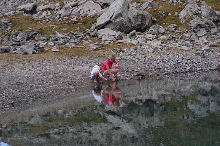
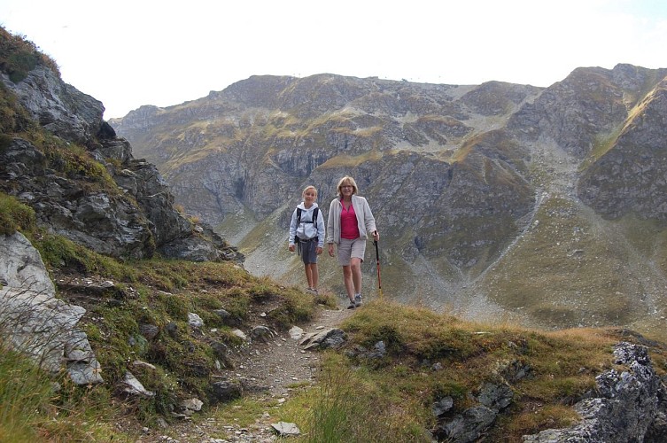
This hike requires some experience, but you will be rewarded with tranquility, flora, marmots and the beauty of the lake.
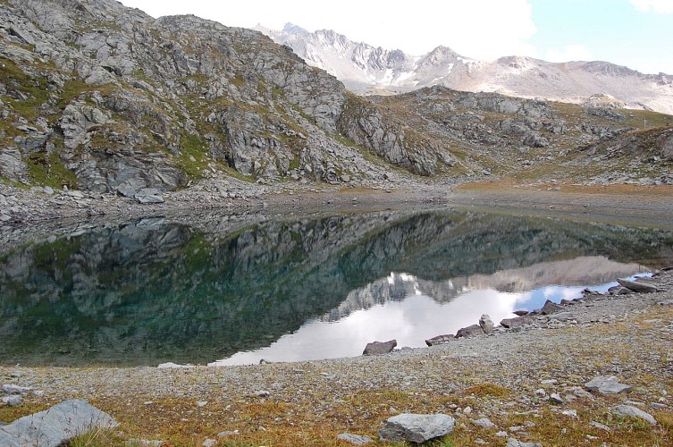
A lovely small lake with turquoise-blue waters and lush green meadows strewn with flowers and mulitcoloured butterflies as well as beautiful views for a colourful hike.
Technical informations
10 km
|
min. 99999 m
721 m
721 m
| |||
Styles : HikingMountain Public : Experienced hikers | ||||
Altimetric profile
Starting point
Steps
Itinéraire de randonnée : Le Lac du Carroley
Poursuivre en voiture la route des Coches. Au lieu dit Fontaine Froide (croissement) garder la direction "Les Bauches en voiture" jusqu'au terminus (parking des Bauches).Suivre la route puis le chemin de terre qui remonte la rive droite du ruisseau des Bauches. Après avoir traversé le torrent (gué), continuer le sentier qui marque quelques lacets jusqu'au passage du dérochoir (rochers humides).Prendre alors à droite un sentier qui revient à l'horizontale. Après avoir traversé divers types de milieux, rejoindre le chalet du Carroley puis remonter quelques prairies pour découvrir le lac.Après un bon casse croûte, redescendre au chalet puis par une petite route bitumée, rejoindre le parking des Bauches.

Itinéraire de randonnée : Le Lac des Pierres Blanches par l'Esselet
Se rendre aux Bauches par la route qui se poursuit 6km au delà des Coches. Au lieu dit Fontaine Froide (croisement), garder la direction des Bauches. Se garer sur le parking face au pont. De là, longer la route empruntée et suivre un petit canal (Bief) jusqu'au bassin en pierre de l'Esselet (P). Bifurquer alors à gauche et remonter le sentier (Panneau l'Esselet). Le sentier remonte la forêt pour atteindre un petit plateau (P). Traverser et poursuivre le sentier qui débouchera sur une route forestière (P). Partir sur la gauche puis 200m, reprendre le sentier vers la droite (P). La forêt devient peu à peu un jardin géant habillé d'épicéas, de mélèzes et de pins arole. Le sentier débouche alors sur un plateau, presqu'une clairière (P). Bifurquer vers la gauche, traverser le plateau dans sa longueur (350m environ). Puis remonter légèrement à droite et déboucher sur une vaste prairie (P). Remonter la pente d'herbe (chemin en pierres), atteindre la petite route (P) puis le chalet très visible. Contourner vers la droite pour découvrir le Lac des Pierres BLanches.Le retour peut se faire soit par le même itinéraire, soit en revenant sur ses pas et en suivant la petite route goudronnée qui revient au parking (1h)
Les Bauches
Remonter le chemin puis le sentier en direction du Dérochoir et poursuivre par un bon sentier jusqu'au Chalet de Bellecôte.
Le dérochoir
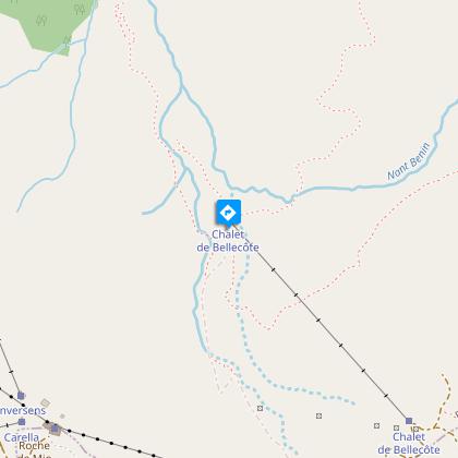
Chalet de Bellecôte
Quitter alors le chemin principal et partir sur la gauche, traverser le torrent avec précaution et remonter les pentes d'herbes par un bon sentier, direction Nord-Este. Après avoir passé quelques replats caractéristiques, emprunter un pierrier qui permet d'accéder au lac qui se situe dans un petit cirque au pied d'une barre rocheuse
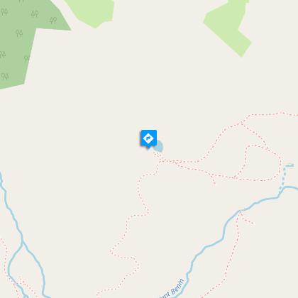
Lac du Friolin
Points of interest
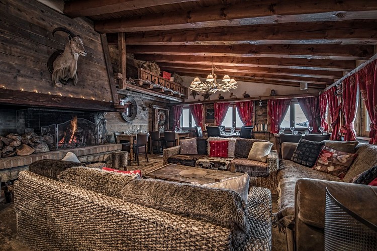
Le Chalet du Friolin
Time for a break, a drink to warm you up, a moment of relaxation and restoration. Welcome to Le Chalet du Friolin, an authentic place near les Bauches chairlift, at the bottom of the Dérochoir, Crozats and Malatray ski slopesOn our sunny terrace, or in the beautifully decorated interior, in front of the fireplace, we promise you a warm, friendly welcome accompanied by elaborate traditional cuisine, local specialities and a wine list selected by our very own cellarman, not to mention a snack menu to bridge the gap. 1. Lounge Bar Half of the terrace transforms into a cosy corner full of Savoyard spirit, decorated in a rustic style with plenty of wooden sofas. The perfect place to savour a slice of charcuterie, country cheeses, a good bottle of wine, and much more besides. 2. SNACKING Now located at the foot of the chalet in its own little corner, you will love "Le Decapadiot Snacking": savoury or sweet, hot or cold. On our sunny terrace this summer, we will be offering authentic family cooking for a pleasant pause in a corner of greenery! In the evening, you can enjoy specialities such as Raclette, Pierrade, Tartiflette, Tartiflette for between €17 and €22.
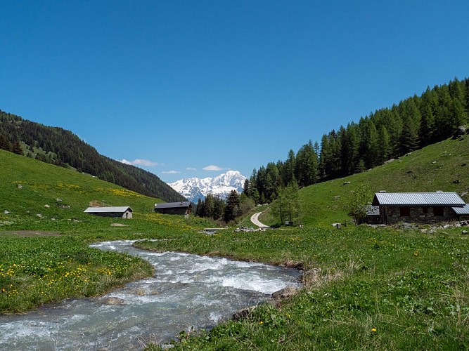
Picnic Table
A little paradise for picnicking in la vallée des Bauches at the start of hikes like the one to Lake Friolin with its beautiful view of Mont Blanc.
Additional information
Updated by
Office de Tourisme de la Grande Plagne - 02/05/2024
www.la-plagne.com
Report a problem
Reception conditions for animals
Beware of herds, keep your dog on a leash.
Guidebook with maps/step-by-step
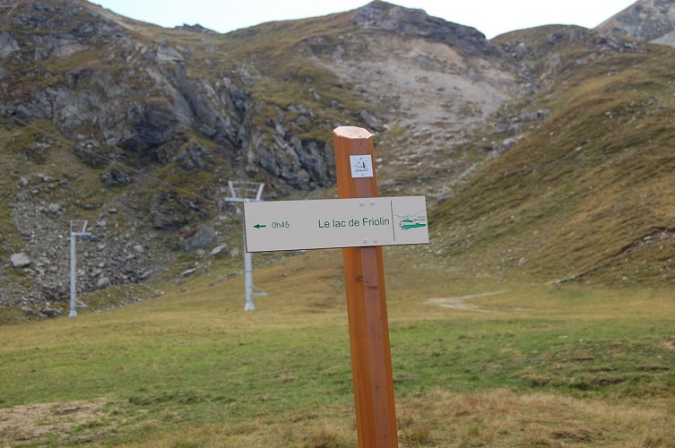
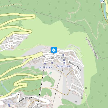
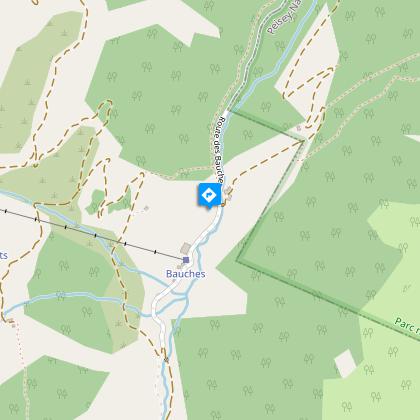
Start from Les Bauches
1 / Drive to Les Bauches along the road that carries on 6 km beyond Les Coches. At the junction at Fontaine Froide, keep following signs to "Les Bauches en voiture". Park in the parking area at Les Bauches.
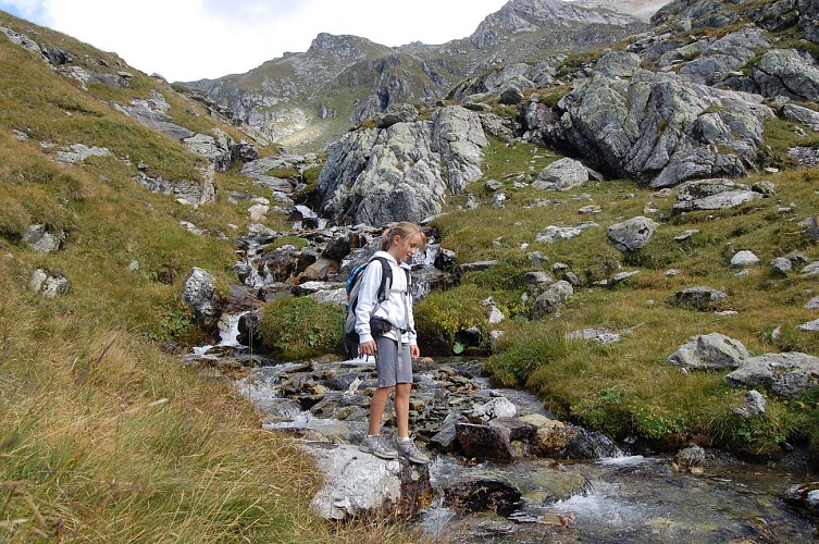
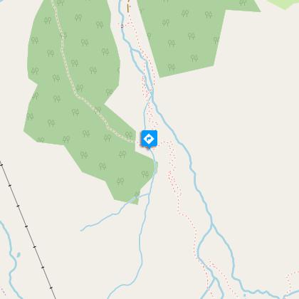
2/ Follow the track for 300m (P), cross the stream and walk along the right bank, passing a few houses before coming to a vast meadow.
3/ Cross the stream again then climb the track then the path towards Le Dérochoir (typical damp rock) and carry on along the well-trodden path to the Chalet de Bellecôte (P).
4/ Leave the main track here and go off to the left, crossing the stream carefully and climbing the grassy slopes in a north-easterly direction on a good path.
5/ After several characteristic flat sections, follow the scree up to the lake located in a small hollow at the foot of a rocky ridge.
6/ To come back, walk a little way up the side of the stream that flows into the lake then come back down the fairly steep meadowland towards the Chalet de Bellecôte. Then follow Le Dérochoir trail back down.
Take special care if walking in mist, as the route becomes difficult to follow.
P = signpost
Open period
From 29/06 to 31/08/2024.
Contact
Phone : 04 79 07 82 82
Fax : 04 79 07 80 18
Email : info.montchavin@la-plagne.com
Website : www.montchavin-la-plagne.com
Facebook : www.facebook.com/montchavinlaplagne/
Data author
