Alert
Alerts
Hiking itinerary : Lac du Friolin
Description
This hike requires some experience, but you will be rewarded with tranquility, flora, marmots and the beauty of the lake.
A pretty little lake with turquoise waters, green alpine meadows dotted with flowers and multicolored butterflies, a beautiful panorama for a colorful hike.
Technical Information
Altimetric profile
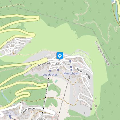
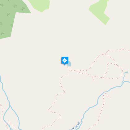
Starting point
Steps

Points of interest

Additional information
Contact
Phone : 04 79 07 82 82
Email : info.montchavin@la-plagne.com
Website : https://www.la-plagne.com/montchavin-les-coches
Facebook : https://www.facebook.com/MontchavinlaPlagne/
Open period
From 27/06 to 29/08/2026.
Environments
Lake view
Mountain view
Mountain location
Lake 5 km away
Type of land
Rock
Stone
Ground
Not suitable for strollers
Topo guides and map references
Map references :
TOP 25 IGN 3532 AND
Updated by
Office de Tourisme de la Grande Plagne - 09/02/2026
www.la-plagne.com
Report a problem
Reception complements
Whenever you go hiking, remember to take cereal bars, plenty of water, sunglasses, sun cream and a small first aid kit, as well as suitable clothes for your outing, according to the season and the weather forecast.
Guidebook with maps/step-by-step
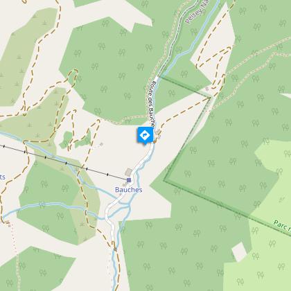
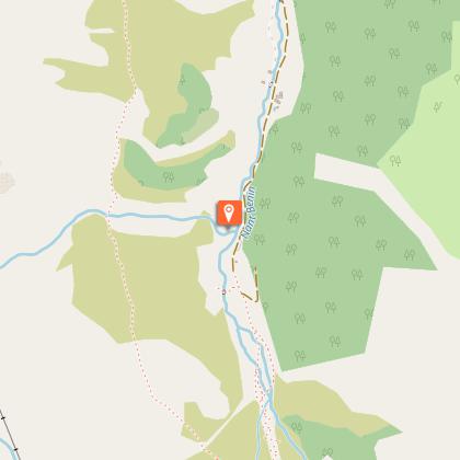
Start from Les Bauches
1 / Drive to Les Bauches along the road that carries on 6 km beyond Les Coches. At the junction at Fontaine Froide, keep following signs to "Les Bauches en voiture". Park in the parking area at Les Bauches.
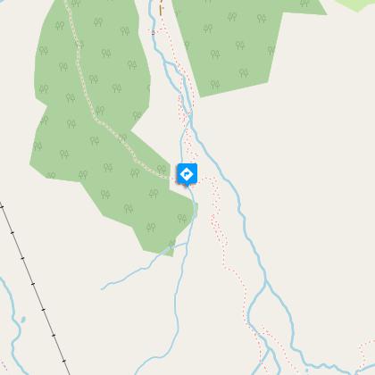
2/ Follow the track for 300m (P), cross the stream and walk along the right bank, passing a few houses before coming to a vast meadow.
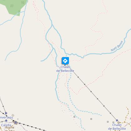
3/ Cross the stream again then climb the track then the path towards Le Dérochoir (typical damp rock) and carry on along the well-trodden path to the Chalet de Bellecôte (P).
4/ Leave the main track here and go off to the left, crossing the stream carefully and climbing the grassy slopes in a north-easterly direction on a good path.
5/ After several characteristic flat sections, follow the scree up to the lake located in a small hollow at the foot of a rocky ridge.
6/ To come back, walk a little way up the side of the stream that flows into the lake then come back down the fairly steep meadowland towards the Chalet de Bellecôte. Then follow Le Dérochoir trail back down.
Take special care if walking in mist, as the route becomes difficult to follow.
P = signpost
Animals
Yes. Attention cow herds in alpine pastures
Data author
