Hiking trail: La Boucle de Montorlin
Description
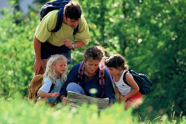
This easy walk features a traditional village, meadows of hay and mountain forests.
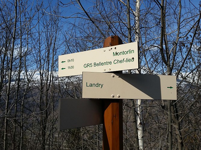
Take the path opposite the garage in Montchauvin that leads down to the village of Montorlin, which is well worth exploring. Then go up the narrow road starting at the basin (next to the Salle Louis Emprin) and cross the Montchavin road to get onto a wide path that climbs up to La Pierra (1km), passing a ruined chalet on your right. Take a rest in this pleasant clearing before retracing your steps directly back to Montchavin.
Technical Information
Altimetric profile
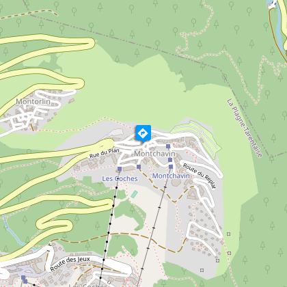
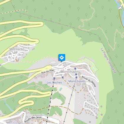
Starting point
Steps

Itinéraire de randonnée : Le Chemin de la Pierra
Petite balade très agréable sur un large sentier à travers les prairies et forêts montagnardes.Du virage de la Porte de Montchavin, remonter la route des Coches sur 50m. Suivre le chemin (au départ grand panneau en bois) qui en gardant un profil plat permet d'accéder à la Pierra (ruine sur la droite du chemin). Le retour se fait par le même itinéraire.Balade possible avec un porte bébé.
Itinéraire de randonnée : Les Coches par La Pierra
Belle randonnée au travers des clairières et montagnettes avec un panorama exceptionnel sur la vallée et la chaîne du Beaufortain Mont Blanc.Du virage de la Porte de Montchavin, remonter la route des Coches sur 50m, rejoindre la Pierra et poursuivre le large chemin qui redescend légèrement pour arriver sur une petite route goudronnée.Remonter cette vaste clairière qui traverse de multiples hameaux pittoresques pour arriver à celui de Praz Salvard.Se diriger alors vers la gauche pour rejoindre Crévaillet puis le hameau de l'Orgère.Descendre en direction de la station puis empruntez la petite route qui passe sour le tunnel pour arriver à Montchavin.
La Boucle de Montorlin
Face au garage de Montchavin, prendre le chemin qui descend au village de Montorlin que vous ne manquerez pas de visiter. Puis remonter la petite route goudronnée qui part du bassin (proximité salle Louis Emprin). Traverser la route de Montchavin pour prendre un large chemin qui monte à la Pierra (1km) (chalet en ruine sur la droite). Profiter de cette clairière pour une pause agréable avant de revenir sur vos pas pour rejoindre directement Montchavin
Additional information
Reception conditions for animals
Dogs are welcome.
Updated by
Office de Tourisme de la Grande Plagne - 02/05/2024
www.la-plagne.com
Report a problem
Guidebook with maps/step-by-step
Departure in front of the garage of the mechanic of Montchavin
1/ Take the path that goes down to the village of Montorlin
2/ Stroll through the village
3/ Go to the Louis Emprin hall
4/ Go up the asphalt road that leaves the pond next to the Louis Emprin hall
5/ Cross the road and take a wide path that goes up to the Pierra (1km)
6/ Take advantage of this clearing for a pleasant break before returning to Montchavin
Environments
Mountain location
Mountain view
Forest location
Open period
All year round.
Contact
Phone :
04 79 07 82 43
04 79 07 82 82
Fax : 04 79 07 80 18
Email : info.montchavin@la-plagne.com
Website : www.montchavin-la-plagne.com
Facebook : www.facebook.com/montchavinlaplagne/
Location complements
At the entrance to Montchavin, you can park in our car parks.
The path to Montorlin starts in front of the mechanic's garage, which is on the road towards the campsite on the right.
Once in front of the garage, the entrance to the path is opposite.
Tricky passages
In winter, you may encounter icy conditions on the descent, so make sure you have the right equipment.
Topo guides and map references
Map references :
IGN map Les Arcs La Plagne 3532ET on sale in sports stores and newsagents - You can also find all our itineraries on sale in our tourist offices (€5).
Type of land
Stone
Not suitable for strollers
Non-groomed itinerary
Hard coating (tar, cement, flooring)
Ground
Reception complements
Whatever you choose to do, remember to pack cereal bars, plenty of water, sunglasses, sun cream, a small first-aid kit and the right clothes for your outing, depending on the season and weather forecast.
Data author
