LE TANBOURIN XT ROUTE N°12
Description
Thanks to the FFRandonnée and the village of Xertigny for the creation of this hike and for the work done by their teams throughout the year to mark out and maintain these paths. Marked with a yellow rectangle N°12.
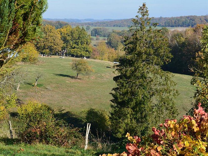
This lovely trail around the hamlet of Moyenpal has kept its rural specificity and has two particular features: its land is exclusively cultivated in organic agriculture and it is subject to the winds of the four cardinal points, due to its location on a crest between the valleys of the Aître and the Cône.
Starting point below Moyenpal:
Park at the end of the hamlet, in front of the hunting cabin near a metal shed. Pass the big farm, head right to the boiler works and ironwork (1), go straight up to the sunken road. After reaching the renovated farm, follow the dirt track to the right. Continue to the road, cross the “haut de Moyenpal” (2) and follow the road on the left to the crossroads of the Caravelle, called “Le Brot” (3). Go on onto the ridge road on the left for 200m, go down the path to the right which will turn again to the right, bordered below by “palis” (fences), pass the vestiges of the farm (4), climb back the path. Follow the marking N°12 at the entrance of the village to the right, go down to the left, cross the pasture by passing the chicanes (5). Follow the path of the pond of the Goutte, cross the road towards the Basses de Moyenpal, take the path climbing to the right (6) in the pastures and reach the starting point.
Key places :
• “Haut de Moyenpal”: on the right, facing the calvary, observe the main body of farm made of two housings (internal joint ownership) and a common “charri” (a typical barn). The lintel dates to 1712 and has a cross of Lorraine. The small building on the left is an independent chamber oven.
• Palis (fences): at the calavary, the road on the left is bordered by fences, stones of sandstone coming from the local quarries, which were once demarcating the plots.
• La Caravelle, a plane from the 1960s, was turned into a gite and to which should be added two Antonov of the Aeroflot and one Noratlas after the renovation.
Technical informations
5 km
|
max. 418 m
min. 352 m
| |||
Altimetric profile
Starting point
Additional information
Producteur de la donnée
Ces informations sont issues de la plateforme SITLOR - Système d’Information Touristique - Lorraine
Elles sont synchronisées dans le cadre du partenariat entre Cirkwi, l’Agence régionale du Tourisme Grand Est et les membres du comité technique de Sitlor.
Data author
