LE RECHENTREUX XT ROUTE N°3
Description
Thanks to the FFRandonnée and the village of Xertigny for the creation of this hike and for the work done by their teams throughout the year to mark out and maintain these paths. Marked by a yellow rectangle N°3.
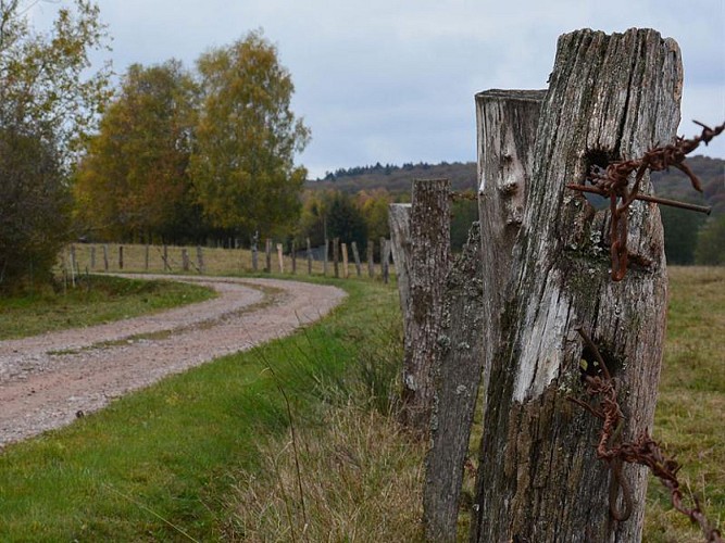
This trail - mainly woodland – offers both bucolic paths and beautiful avenues in the forest area of Rechentreux. The stream of the same name, upstream the waterfall, keeps the hiker company.
Starting point car park “le Gué du Saut”:
At the car park of Gué du Saut, go downstairs, cross the bridge over the waterfall, and climb in the forest following the marking N°3. When reaching the forest path, turn left to a stand of beech trees. When reaching the forest barrier (1), head left onto the old rural path parallel to a path recently metaled which goes along with the territorial limit between Xertigny and Bellefontaine. This path meets the forest road 1km further up and goes along, from that place (2), a planting of Douglas firs – a resinous tree with excellent mechanical properties. When reaching the “Moulin de la Semoule” crossroads (3), head right in the Bois des Flammes mainly full of spruces, pass by the hunting cabin, and get to the forest barrier (4); turn right, after 300m go into a cultivation and grazing area near the village of Bellefontaine. At the hamlet “Le Rupt Guéné” (5), the route goes back in a beautiful forest avenue, which goes on over more than 2km crossing two wetlands on the plateau “la petite faigne et la grande faigne”. This path first crosses a long plating of resinous trees, and then meets a deciduous trees area on its last third. At the end, the route reaches the metaled path (6) demarcating the two municipalities, and finally the starting point.
Key places :
• “Chêne debout et sapin couché font la charpente millénaire” (standing oak and lying pin make the thousand-year-old framework). This maxim of the companion-builders summarized the interest in the oak tree for its vertical supports and in the resinous tree for the horizontal section of the frameworks.
• The deers: The male lives on a 5,000 hectares territory, they always come back where they are born to bellow. The female, if not bothered, is satisfied with a 500 hectares area.
• The “Moulin de la Semoule”: The number of watercourses in the Vôge has favoured the development of small retaining reservoirs meant for moving mechanisms and relieving our ancestors of their tiring manual duties.
• Wetlands: spreading on the whole territory, the wetlands are specific natural habitats that are used for regulating hydrologic systems and to support a peculiar ecosystem, the fauna, the flora, and the composition of soil.
Technical Information
Altimetric profile
Starting point
Additional information
Producteur de la donnée
Ces informations sont issues de la plateforme SITLOR - Système d’Information Touristique - Lorraine
Elles sont synchronisées dans le cadre du partenariat entre Cirkwi, l’Agence régionale du Tourisme Grand Est et les membres du comité technique de Sitlor.
Data author
