LA QUEUE DU RENARD XT ROUTE N°13
Description
Thanks to the FFRandonnée and the village of Xertigny for the creation of this hike and for the work done by its teams throughout the year to mark out and maintain these paths. Marking: yellow rectangle n°13
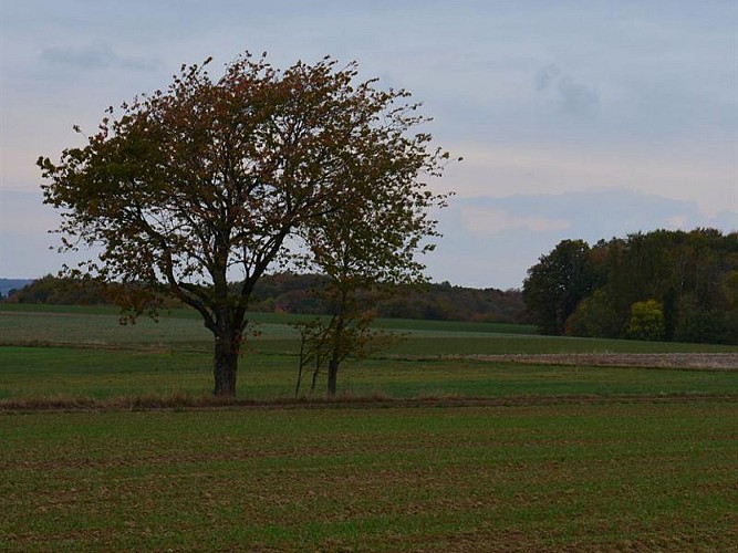
This 10km route embraces the valley of the Aître, once marked out by mills, by following the two panoramic crests that overlook it and the two hamlets of Amerey and Moyenpal.
Starting point in front of the school of Amerey:
Head towards the west for around 100m, then take the Chemin de la Rappe which climbs to the left. The road turns quickly into a dirt track and goes on for 800m to reach the elevation 430 under the electric line (1). Head to the right onto the road of the plateau which overlooks the valley, then 500m before the village of the Chapelle aux Bois leave the road for the path to the right (2), until you reach the road (3) that goes down to Void de la Bure to the level of the stream of the Aître (4). Cross the by-road to climb up the Côte des Marchands after a small detour on the right. At the top of the slope (5), follow the path of the crest on the right to Moyenpal by passing to the right of la Caravelle (6). When reaching the centre of “le Haut de Moyenpal” at the calvary (7), go down the road to the right to reach the hamlet of Amerey to go to the starting point.
Key places:
• The Aître (4) starts at the Bois Beaudoin and runs for 10km before flowing into the Coney River in Rasey. Its motive force was used by almost a dozen of mills for flour mill, sawmill, starch mill, or forge activites.
• (7) Haut de Moyenpal: a double-housed farm from 1712, a shared barn (see the cross of Lorraine on the door for the carts), an adjacent chamber oven. A must-see is the “Palis” at the crossroads (rocks as fences).
• Between the points (2) and (3) at the elevation 430 (la Chapelle aux Bois), take the time to enjoy the viewpoint.
• Croix du Boucher: stepping aside (8), it is possible to reach this stele situated at the forest edge. It recalls the circumstances of Constant Breton’s death, a butcher in Bains, who got lost in a snowstorm at this place.
Technical informations
10 km
|
max. 432 m
min. 330 m
| |||
Altimetric profile
Starting point
Additional information
Producteur de la donnée
Ces informations sont issues de la plateforme SITLOR - Système d’Information Touristique - Lorraine
Elles sont synchronisées dans le cadre du partenariat entre Cirkwi, l’Agence régionale du Tourisme Grand Est et les membres du comité technique de Sitlor.
Data author
