LA VOGE DES BRASSEURS XT ROUTE N°14
Description
Thanks to the FFRandonnée and the village of Xertigny for the creation of this hike and for the work done by its teams throughout the year to mark out and maintain these paths. Marking: yellow rectangle n°14
Starting point is on the Place Michel Bidaud (car park).Go up to the Castle and take the stairs leading to the arboretum. Follow the markers N° 14 passing by the fountain of Sainte Valburge, the Priolet la torèle to return to Xertigny by the Scierie d'Avin. The route can be done in both directions.
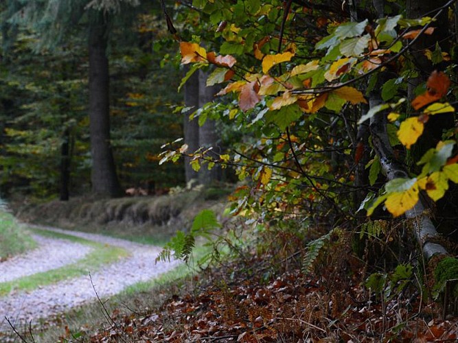
11 kilometres in the middle of nature, among which you will have the opportunity to relax at La Torèle, a very charming site with its small chalet, its fountain, and something to picnic. Ideal before climbing the slope that will lead you to Notre-Dame des Neiges and its beautiful panorama!
Technical informations
11 km
|
max. 592 m
min. 395 m
346 m
| |||
Altimetric profile
Starting point
Additional information
Contact
Site web : www.tourisme-epinal.com/sejourner/nos-circuits/la-voge-des-brasseurs-2083794
Producteur de la donnée
Ces informations sont issues de la plateforme SITLOR - Système d’Information Touristique - Lorraine
Elles sont synchronisées dans le cadre du partenariat entre Cirkwi, l’Agence régionale du Tourisme Grand Est et les membres du comité technique de Sitlor.
Data author
