Alert
Alerts
Discovery tour: Les Alpes vaudoises et la Gruyère par le col du Pillon
IGN cards


Description
A landscape of lush green valleys with traditional chalets, dominated by rocky, snow-capped peaks overlooking the Swiss shore of Lake Geneva. A region of meadows and high milk production. Home of Gruyère cheese.
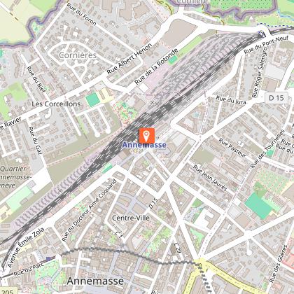
Departure from Annemasse.
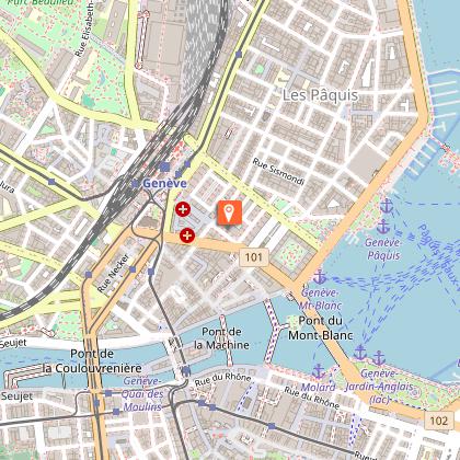
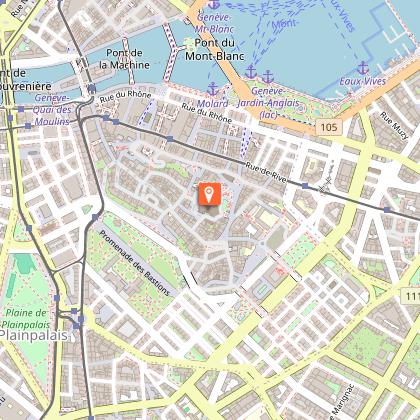
Geneva (5 km).
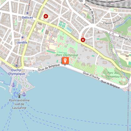
Lausanne (65 km by freeway).
Aigle (105 km by freeway) - freeway exit.
Direction Col du Pillon (Gstaad resort) - Mountain tourist route, uphill but of excellent quality.
Valée des Ormonts: Vineyards - View of Aigle Castle.
Col du Pillon (130 km) - Altitude 1546 m: Possibility of cable-car access to the Diablerets massif (3210 m) - Magnificent view of the Northern Alps massif on a clear day.
Gstaad (147 km) - Altitude 1080m: A top-class resort, frequented by a select clientele, located at the convergence of 4 valleys on the borders of the Bernese and Vaud Alps.
Gruyères (189 km) - Altitude 830m: Small fortified town dating from the 15th-16th
century fortified town set on a hill overlooking a landscape of green meadows and forests. Former castle of the Counts of Gruyère (15th century), with furniture and decorations from the feudal era and the 15th century (can be visited).
Bulle (194 km): Capital of the Gruyère region, from which the cheese takes its name - an active and pleasant middle-class town - very interesting Gruyère Museum, presenting the life of the Gruyère region since its origins (visit approx. 1 hour).
Return to Lausanne and Geneva by freeway from Bulle (freeway access from the town exit) and Annemasse (350 km).
Other options :
1 . Direct access to Gruyères by freeway from Geneva (direction Bern), exit at Bulle (110 km) and then Gruyères (5 km).
Return via the proposed tourist route, to be followed in the opposite direction and returned via Evian and the French side of Lake Geneva, or the Swiss side via Lausanne.
2. Depending on available time, return through the Fribourg and Vaud countryside. Typical farms, lush green meadows against a backdrop of forests. Head for Romont.
Return via Lausanne, Geneva, Annemasse by freeway or route du lac
(R.N.).
Technical Information
Altimetric profile
Starting point
Points of interest

Additional information
Updated by
Office de Tourisme des Monts du Genevois - 20/11/2025
www.montsdugenevois.com
Report a problem
Open period
All year round daily.
Check access to Col du Pillon in winter (snow).
Contact
Phone : 04 50 95 07 10
Email : ot@montsdugenevois.com
Facebook : https://www.facebook.com/MontsduGenevois/
Data author
