Suc-d'Armont walking trail


Description
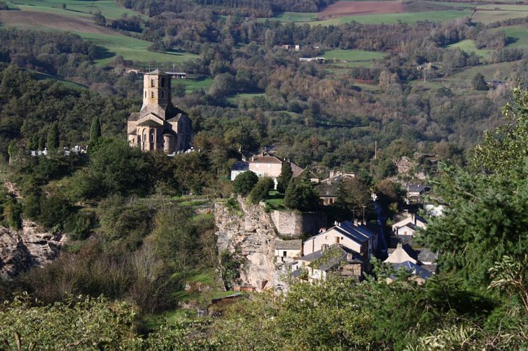
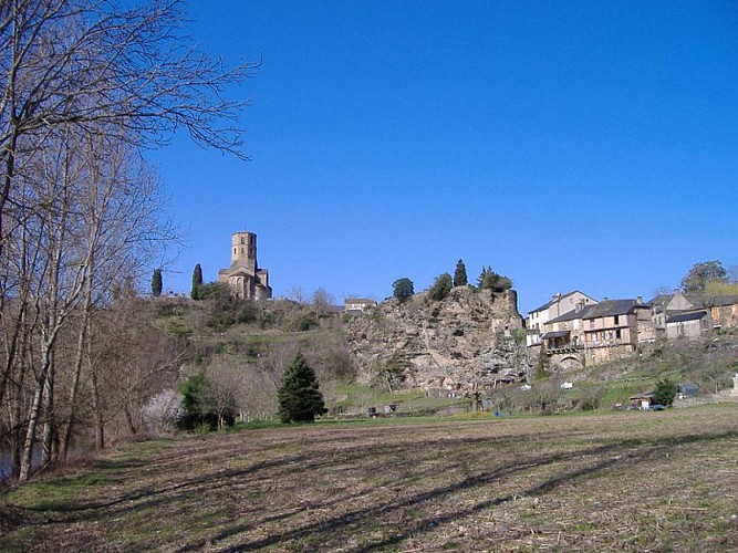
Throughout chestnut groves and hillsides, get closer to the culminating point of the municipality of Plaisance and enjoy the scenic view over the Rance and the Gos valleys and the Lacaune mounts, vast greenery that stretches as far as the eye can see.To get to the trailhead, reach the village centre and turn to the right on road D106 towards Fon Del Mas for 1 km.The loop starts on the right side of a curve, 250 m after the bridge. The gently ascending path makes its way throughout woodlands on a rather wide trail. As it narrows and still runs in the undergrowth, it follows the contour line and opens onto a meadow. After you’ve closed the fences, walk across the field and join a broader path that runs down and passes close to the hamlet of le Rieu before going up towards Frayssines.Walk across the hamlet and follow the road for approximately 740 m towards le Massebirot. In the last bend before this hamlet, turn right and cross the undergrowth.In the hamlet of la Rouquette, take the road that goes downhill to the left. 700 m further, turn right just before an abandoned hut. The path goes up across fields. Carry on your way on a level path for 800 m until the junction with a road. Take the road to the left up the Vergnerette farm.Just before you get to the farm, turn to the left and walk down across a chestnut grove. After 400 m, leave the wide trail and take to the right a narrow footpath that leads to the hamlet of La Fon Del Mas.In La Fon Del Mas, take to the left and walk out the hamlet. Leave the first road on the left, walk out of the tarmac and take the left track that leads back to the starting point, the Gos bend.
Technical informations
13 km
|
max. 642 m
min. 243 m
| |||
Altimetric profile
Starting point
Additional information
Departure
Car-park and starting point: press room square in Plaisance
Arrival
Car-park and starting point: press room square in Plaisance
Ambiance
Starting from Plaisance, a gradual slope makes its way up towards Suc d’Armont. It features a difference in altitude of 260 m with, as the highlight, the hamlet of la Rouquette and its splendid view over the pays du Rance and the Albigensian plateau. Once you’ve left the hamlet of le Massebirot, look at the imprint cartwheels left on schist rock, as a poignant legacy of rural life of yesteryear.
Access
From St Sernin/Rance, take the D33 road up to Plaisance (a 20 minute drive approximately)
Advised parking
Car-park and starting point: press room square in Plaisance
Public transport
Travel by bus or train: lio.laregion.fr/carpooling : BlaBlaCar, Rézo Pouce, Mobicoop, Idvroom, LaRoueVerte, Roulez malin
Advice
Box tree months are active from May to October. During the caterpillar phase, they feed on the leaves of box trees. They crawl down trees and move on long silken threads, although these threads are annoying when hiking they do not pose any health risk
Data author
