Mazerolles : les Bénédictins

Description
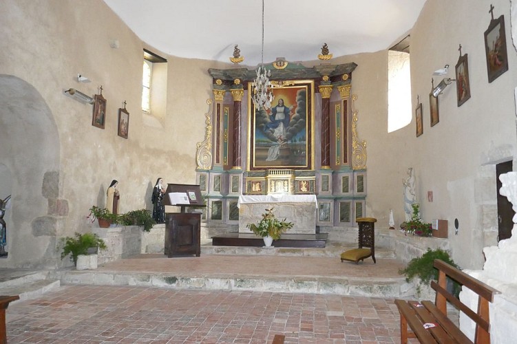
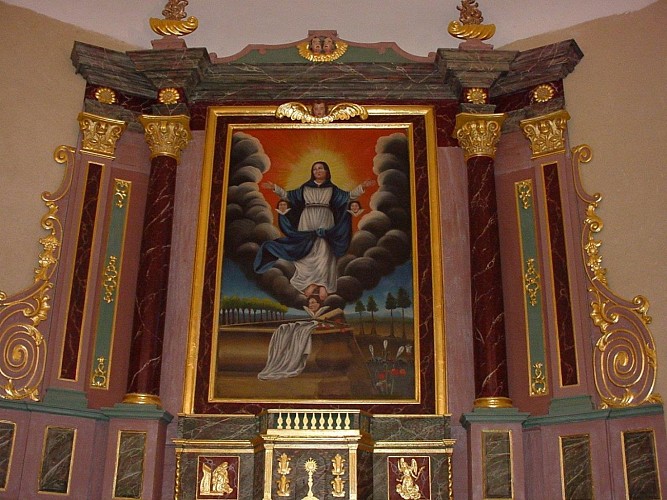
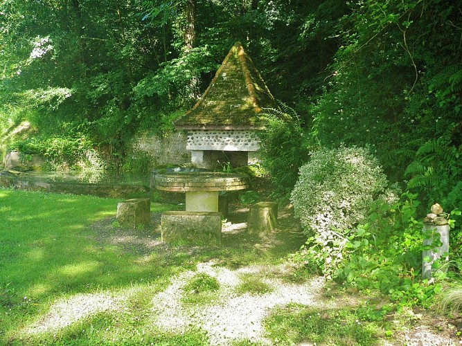
This circuit guides you on the traces of the Benedictine monks. The bastide of Larreule was created at the end of the XIIIth century by the Benedictine monks, at the foot of the Abbey dating from the Xth century. It is one of the 3 most important abbeys of Bearn. The circuit also serves, on either side of the banks of the Uzan and Luy de Béarn rivers, two other communes: Uzan and Mazerolles, ancient bastides also founded by the Benedictines of Larreule.
Technical informations
16 km
|
max. 148 m
min. 104 m
145 m
| |||
Altimetric profile
Starting point
Steps
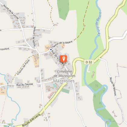
Départ
PR10B - Départ au parking de la mairie de Mazerolles (rue principale). Remontez la rue principale et au bout, tournez à gauche jusqu’au croisement. En face, prenez le chemin de terre jusqu’à la route goudronnée et le pont de l’Uzan.
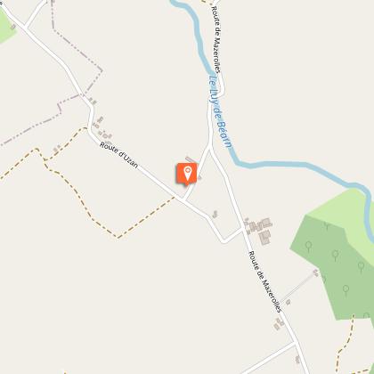
Etape 2
Une fois passé le pont, prenez sur votre droite le chemin goudronné puis celui de terre jusqu’à la route communale.
Etape 3
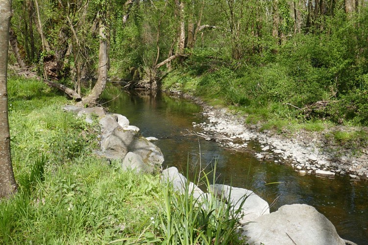
Une fois passé le pont du ruisseau, prenez sur votre droite et longez la rivière « l’Uzan » jusqu’à l’aire de pique-nique et la passerelle.
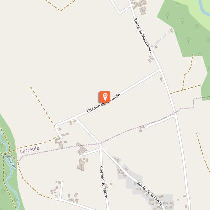
Etape 4
Au bout du chemin, vous retombez à la jonction des 2 sentiers PR10 (table de pique-nique). Prenez la montée sur votre gauche (ferme Gée) jusqu’à la plaine de la lande.
Etape 5
Sur votre gauche, un chemin gravillonné vous conduira à travers la lande et les cultures à la ferme Baron.
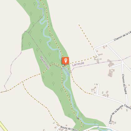
Etape 6
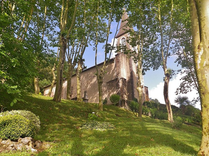
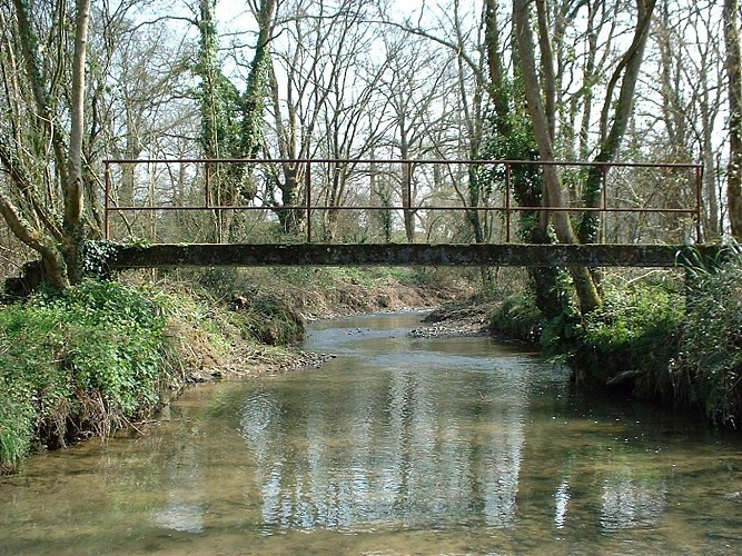
La route goudronnée vous mènera au pont du Luy de Béarn et jusqu’à l’Abbaye de Larreule.
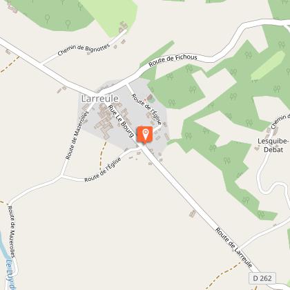
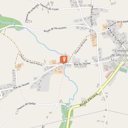
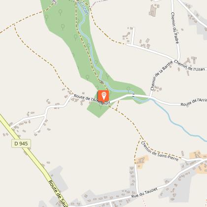
Etape 7
Au bas de l’Abbaye de Larreule, prenez la direction Mazerolles sur 800 m jusqu’à un chemin gravillonné sur votre droite.
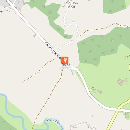
Etape 8
Empruntez ce chemin jusqu’au pont du Moulin de Larreule, sur le Luy de Béarn dont les berges ont été protégées. Poursuivez le chemin de terre et de gravier jusqu’au haut de Mazerolles (mairie).
Additional information
Contact
Fixed telephone : +33 5 59 04 59 24
Syndicat du tourisme Coteaux Béarn Madiran (antenne Arzacq)
e-mail : contact@bearnmadiran-tourisme.fr
Web site (URL) : www.bearnmadiran-tourisme.fr/
Balisage
Yellow
Typologie de l'itinéraire
Loop
Thèmes
Cultural
Historical
Natural
Religious
Durée moyenne de l'expérience
1 to 2 hours
Animaux bienvenus ?
Oui
Data author
