Arzacq-Arraziguet : de la bastide à la forêt


Description
Situated on the northern edge of the Béarn hills, Arzacq dominates the nearby Landes region from the top of its ridge. Tursan and Chalosse are its immediate neighbors. A rich historical heritage to discover on a guided tour of Arzacq.
Technical Information
Altimetric profile
Starting point
Steps

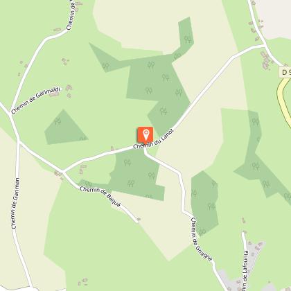
Etape 1
From the Place de la République car park (opposite the town hall), take the Rue de la Basse-Ville (a feudal mound which, in the 11th century, was overlooked by a wooden castle used as a lookout and last refuge and surrounded by ditches). At the first bend in the road, turn right onto Chemin de Gnagne, then continue downhill alongside the Arriou stream.
Etape 2
At the junction with a tarmac track, turn right and continue as far as the L'Arriou bridge. At the top of a small rise, turn right.
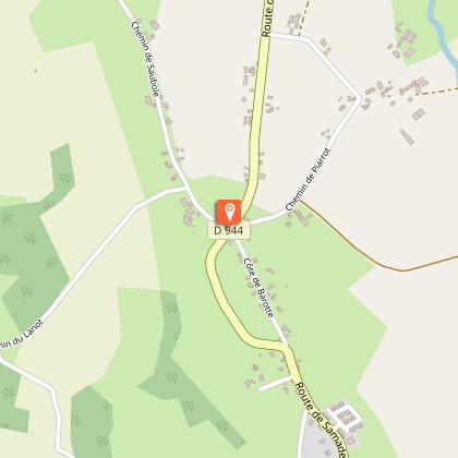
Etape 3
At the crossroads (RD944) in the Vialé district, immediately take the track on the left which will take you to the Pountet farm and the Hournas farm until you cross the Louts stream (small footbridge on your right).
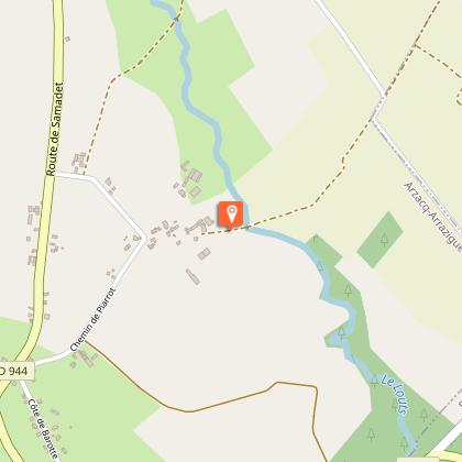
Etape 4
Once you have crossed the Louts stream, turn right at the picnic area and walk along the stream through the forest. You will come to a small footbridge as far as the RD946 road (recreation area and Chemin de Compostelle).
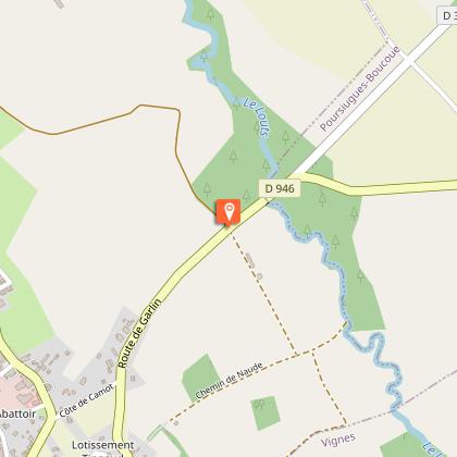
Etape 5
Head due south and cross over the road bridge on a small beaten earth path: you are on a section of the GR65 (Saint-Jacques de Compostelle). A little further on, take the 1st stony track on the left which becomes a dirt track and continue straight ahead.

Etape 6
At the 2nd junction, go up through the moorland on your right as far as the water tower. At the top of the tarmac hill, you will see the Soubestre bullring. Walk along the college and reach the Place du Marcadieu, then the Place de la République with its arcades, church and the tower.
Points of interest

The Béarnaise house.
The Béarnaise house is built with grey river pebbles in mortar. One of the essential features of the Béarnaise house is its roof: the pitch can reach 50° or even more, covered with flat tiles or, more frequently, slates. In Béarn, the houses vary according to the valleys and geographical areas.

Wash-house.
Wash-house. At either end of the lake, there are 2 horseshoe-shaped wash-houses dating from the 19th century.
Additional information
Contact
Fixed telephone : +33 5 59 04 59 24
Syndicat du tourisme Coteaux Béarn Madiran (antenne Arzacq)
e-mail : contact@bearnmadiran-tourisme.fr
Web site (URL) : www.bearnmadiran-tourisme.fr/
Balisage
Yellow
Typologie de l'itinéraire
Loop
Thèmes
Natural
Durée moyenne de l'expérience
1 to 2 hours
Equipements
Picnic area
Information panels
Power Point (supermarket, restaurants)
Water point
Ablutions
Animaux bienvenus ?
Oui
Data author
