Alert
Alerts
Discovery tour: Le Salève
Description
Dominating Geneva and Lake Geneva, the Salève offers a pleasant walk along a very good tourist route, which crosses the entire ridge and offers some of the finest panoramic views in the region.
Leave Annemasse towards Saint-Julien-en-Genevois, via the Étrembières bridge, then towards Reignier and follow Monnetier Mornex.
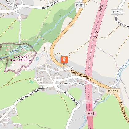
Monnetier Mornex (8 km): traditional tourist village between the Petit and Grand Salève, set in a rocky fault.
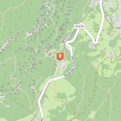
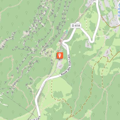
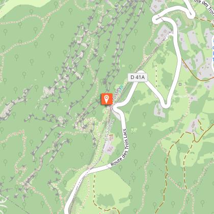
Le téléphérique du Salève (13 km): upper station, panoramic view, children's garden, botanical area, departure point for hiking trails.
Les treize arbres (14 km): panoramic view, nature walk.
L'Observatoire and surroundings (15 km): restaurant, panoramic view, paragliding runway a 5-minute walk away, Buddhist temple and orientation table.
La grande gorge (16 km): panoramic view of the Jura chain, the lower Arve valley and Geneva.
La route des Trois Lacs and les rochers de Faverges (17 km): magnificent views of Mont-Blanc (4807 m), the Alps and the middle Arve valley.
La Croisette (18 km): small, welcoming village with characteristic mountain inns, beautiful view of Mont-Blanc. Very sunny in winter, even in the foggy plain.
2 options:
- 1. Shorter loop, down to Annemasse via La Muraz then Monnetier-Mornex, on a winding road through alpine pastures with traditional hamlets inhabited by the farmers who farm them.
Return to Annemasse (total approx. 37 km)
- 2. a longer loop that takes in the full length of the Salève via the road to Cruseilles, through forests and alpine pastures. Numerous viewpoints: Lac Léman, Mont Blanc, Lac d'Annecy.
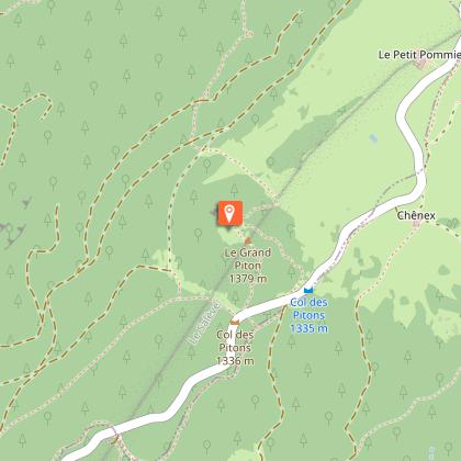
Le Grand Piton (23 km): the highest point of the Salève massif, at 1380 m, the Tour du Piton is a typical Salève panorama, accessible only on foot in around 15 minutes.
La grotte du diable (24 km): accessible on foot from the Tour du Piton parking lot (cross the road) or park at the old mountain inn in the forest. Beautiful views of the Aravis chain and the Bornes plateau, forest walks.
Cruseilles (34 km): village on the R.N. 201 Annecy-Geneva, old quarter (Le Corbet) with old houses, church with a superb bulbous bell tower in the Savoyard tradition.
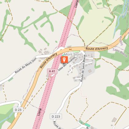
Return to Annemasse: over the Col du Mont Sion (786 m), with views of Geneva and the Jura chain, along the foot of the Salève via Collonges-sous-Salève.
Total approx. 65 km
Technical Information
Altimetric profile
Starting point
Points of interest
Additional information
Environments
Town location
Mountain view
In the country
Updated by
Office de Tourisme des Monts du Genevois - 23/05/2026
www.montsdugenevois.com
Report a problem
Open period
From 01/01 to 31/12 daily.
In winter the Col de la Croisette is closed.
Contact
Phone : 04 50 95 07 10
Email : ot@montsdugenevois.com
Facebook : https://www.facebook.com/MontsduGenevois/
Data author
