Alert
Alerts
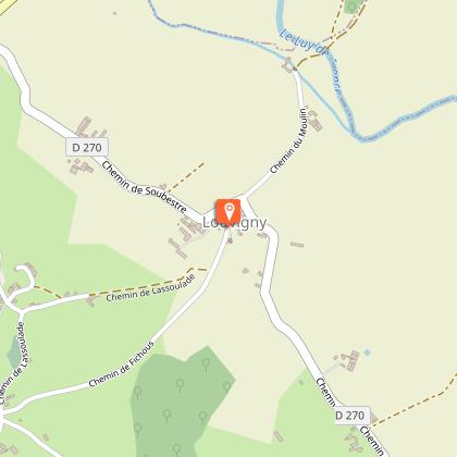
Louvigny : promenade Henri IV


Description
The tour offers a glimpse of 10th-century seigneuries such as Louvigny. This viscounty included 11 parishes (Beyrie, Mialos, Malaussanne, Fichous...). At Lou Castet (500 m from the start of the hike), the motte may be the site of the Louvigny lord's fortified castle. It has since been used as a quarry. The old church, destroyed in 1955, could also have been part of this site.
Technical Information
Altimetric profile
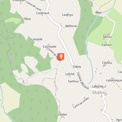
Starting point
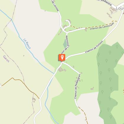
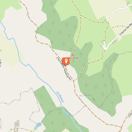
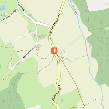
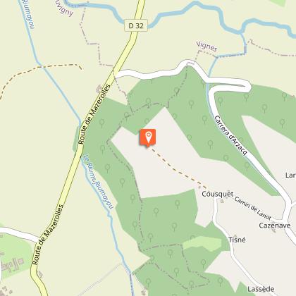
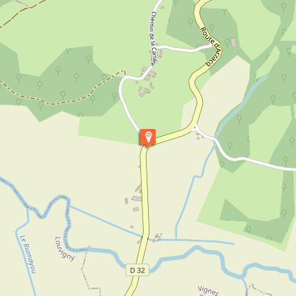
Steps
Additional information
Contact
Fixed telephone : +33 5 59 04 59 24
Syndicat du tourisme Coteaux Béarn Madiran (antenne Arzacq)
e-mail : contact@bearnmadiran-tourisme.fr
Web site (URL) : www.bearnmadiran-tourisme.fr/
Balisage
Yellow
Typologie de l'itinéraire
Loop
Thèmes
Natural
Durée moyenne de l'expérience
2 to 3 hours
Equipements
Picnic area
Animaux bienvenus ?
Oui
Data author
