Abère : belvédère du Lées


Description
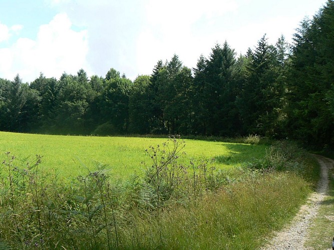
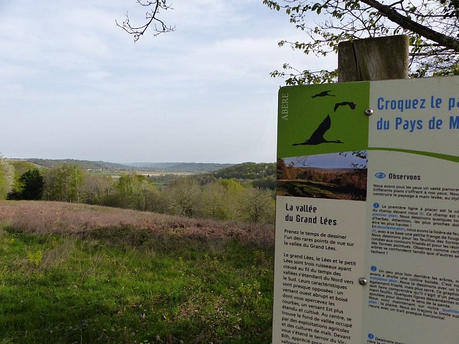
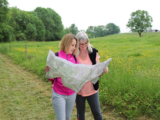
Lovely walk from Abère on track and small road. Initially elevated to take advantage of the view of the Pyrenees, it descends into a valley and runs alongside the meandering Grand Lées. It then passes through a pleasant pine forest before returning to your starting point. You can try your hand at drawing by stopping at the "rando dessin" station, where you'll find a beautiful hilly landscape.
Technical informations
9.2 km
|
max. 333 m
min. 267 m
150 m
| |||
Altimetric profile
Starting point
Steps
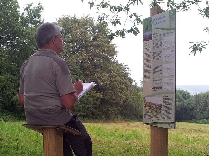
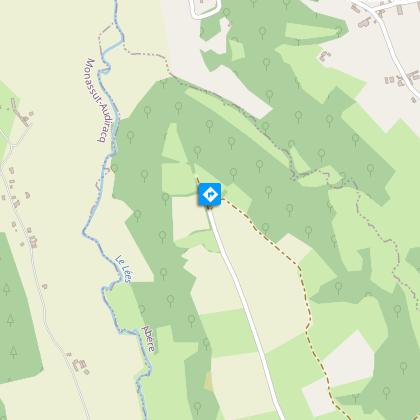
The Grand Lées Valley hiking and drawing station
Opposite the church, turn left onto the small road (dead-end sign). The road becomes a track through the meadows at the top of the hill. Continue straight ahead at the first fork. Continue until the track bends at 90°. A drawing station awaits you, where you can admire and even draw the landscape.
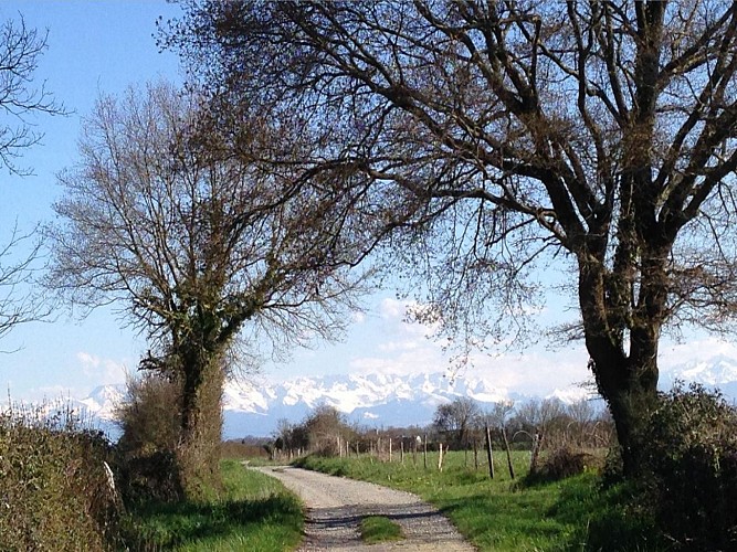
Magnificent view of the Pyrenees mountain range
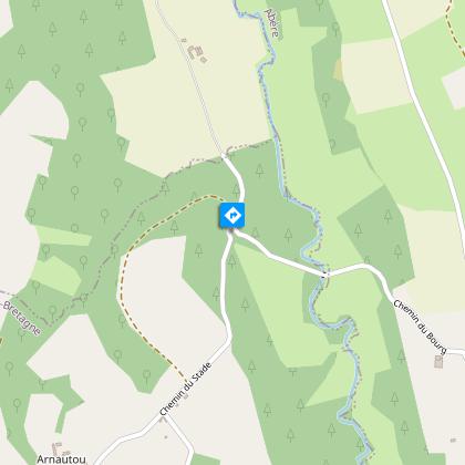
A superb view opens up of the Pyrenees. The track crosses the "Plaine". At a crossroads, turn right down the asphalt slope. Cross the Grand Lées bridge and climb up until you come to a track on the left.
A famous local figure ?
Follow the meandering stream. The change in atmosphere is surprising, and the shade and coolness are very pleasant! The path climbs steeply up the hillside and, at the large oak tree, follow the track to the left.

On the road to Santiago de Compostela
Continue on this gradually descending track. At the next junction, turn left and cross the Lées. Climb back up and, after the farm, join the road.
In the village
At the crossroads, cross Route Communale C1 and follow Chemin de la Teulère. When you come to the one-way sign, turn left into the center of Abère.
Additional information
Balisage
Yellow
Typologie de l'itinéraire
Loop
Hiking Route (GR®)
Durée moyenne de l'expérience
2 to 3 hours
Thèmes
Compostela
Cultural
Historical
Out of the ordinary
Natural
Contact
Fixed telephone : +33 5 59 33 62 25
Syndicat tourisme Coteaux Béarn Madiran (antenne Morlaàs)
Web site (URL) : www.bearnmadiran-tourisme.fr
e-mail : contact@bearnmadiran-tourisme.fr
Data author
