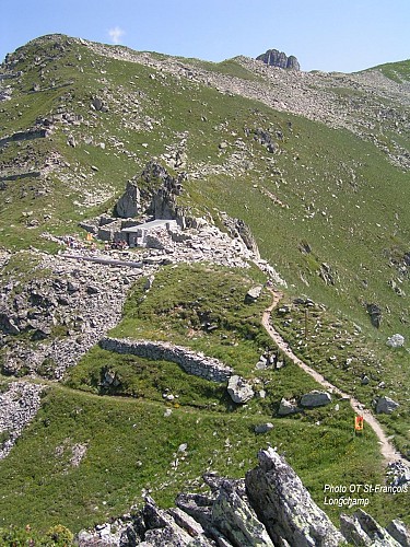
"Col Montjoie" from "Les Pugnes" (8)
Description
[Saint François Longchamp area]
Red level (medium) itinerary. 3,8km and around 2h long.
Starting point from the «Pérelles». Take the path going up on the left of the technical services building. Go by the water treatment plant and then take the path going up straight ahead. Bypass the «Crête Maxet» going bellow it. Arrived at the intersection of the «Mère de l’eau», let the track on your left to take the path going up on the right. At the intersection of the Crête Maxet, take the track arriving from the Lauzière chairlift. Turn left on it, towards the Col Montjoie.
Technical informations
3.8 km
|
max. 2245 m
min. 1691 m
582 m
18 m
| |||
Altimetric profile
Starting point
Points of interest
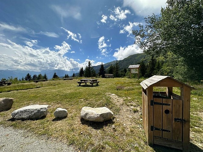
Pérelles picnic area
Located in the bend between the Pérelles technical services and the Balcons du Soleil 2 building.
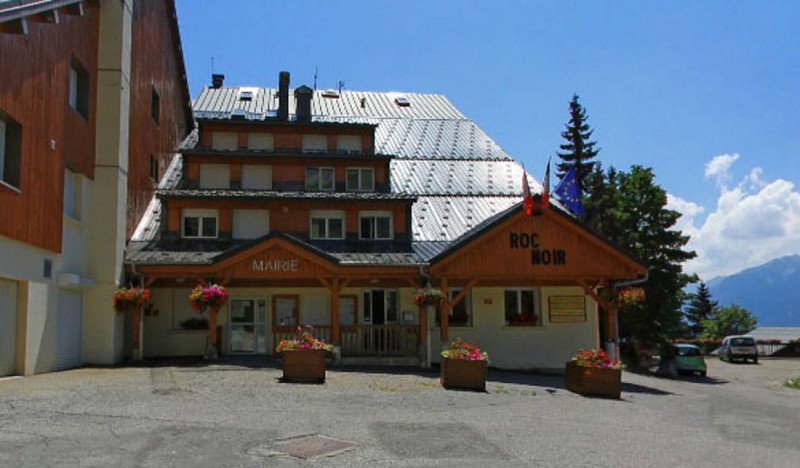
Services techniques
The technical services of the municipality (maintenance, roads, water service and waste reception center)
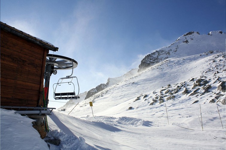
Télésiège de la Lauziere
Télésiège pince fixe ouvert en hiver.
Date and time
- From 01/07/2024 to 31/08/2024
- From 01/07/2025 to 31/08/2025
Additional information
Updated by
Office de Tourisme de Saint François Longchamp - 24/04/2024
saintfrancoislongchamp.com
Report a problem
Reception conditions for animals
Dogs are allowed. They must be kept on leash.
Open period
From 01/07 to 31/08.
Contact
Phone : 04 79 59 10 56
