Alert
Alerts
Mountain biking route – Forêt de Miollet


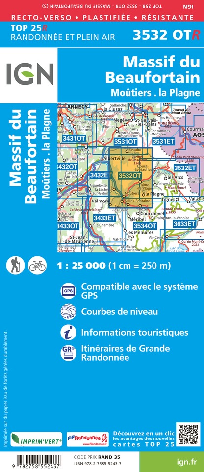
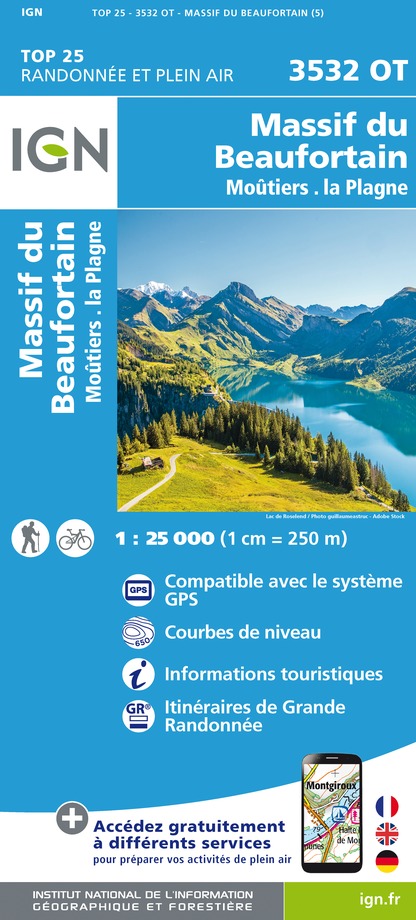
IGN cards


Description
23 (red) – Forêt de Miollet/Type: Enduro
Departure point: Top of the Champagny gondola
Steep, technical enduro that will delight fans of big drops.
Departure point: Top of the Champagny cable car
Arrival : Champagny en Vanoise
Duration : 30 minutes
Distance : 4,2 km
Positive difference in altitude: 20 m
Negative difference in altitude: 720 m
Signposted: Yes
From the top of the Champagny cable car, the route quickly plunges down a winding path through the Miollet forest. The hairpins and "pif-pafs" follow one another offering a beautiful succession of fun and technical passages. The route then switches to the right bank of the torrent before reaching Champagny.
Lifts used: Champagny cable car.
Mountain biking is a physical and sporting activity that can involve risks. Stay safe!
Technical Information
Altimetric profile
Starting point
Date and time
- From 06/07/2026 to 29/08/2026
Additional information
Environments
Riverside
Forest location
Waterside
Mountain location
Updated by
Office de Tourisme de la Grande Plagne - 11/08/2025
www.la-plagne.com
Report a problem
Open period
From 06/07 to 29/08 daily between 9 am and 12.45 pm and between 2 pm and 5.40 pm.
Subject to favorable weather.
Contact
Phone : 04 79 55 06 55
Email : info.champagny@la-plagne.com
Website : https://www.la-plagne.com/champagny-en-vanoise
Facebook : https://www.facebook.com/champagnyenvanoise?sk=wall
Type of land
Stone
Ground
Grit
Animals
No
Data author
