Alert
Alerts
Type of practice
Walking
Hard
25h
Presentation
Description
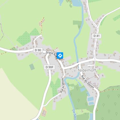
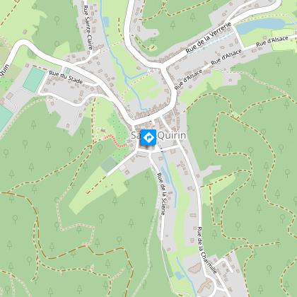
Map
Points of interest
Ratings and reviews
See around
GR5 from Dieuze to Donon

Credit : Emmanuel Stourm 2020
Licence Open Data
Description
The GR5 hiking route (European path 2) links the North Sea to the Mediterranean. It enters France in Mondorff. This 75 km stage leads from Dieuze via the Pays des Etangs lakes to the summit of Donon.
Technical Information
Walking
Difficulty
Hard
Duration
25h
Dist.
75 km
Type of practice
Walking
Hard
25h
Show more
Altimetric profile
Starting point
331
Chemin du Fort
,
57260
DIEUZE
Lat : 48.810349438187Lng : 6.7179256375631
Points of interest


Additional information
Producteur de la donnée
Ces informations sont issues de la plateforme SITLOR - Système d’Information Touristique - Lorraine
Elles sont synchronisées dans le cadre du partenariat entre Cirkwi, l’Agence régionale du Tourisme Grand Est et les membres du comité technique de Sitlor.
Contact
Tel : 06 73 22 49 26
Email : ffrando@sport57.fr
Site web : moselle.ffrandonnee.fr
Data author

proposed by
Moselle Attractivité
57000 Metz France
Ratings and reviews
To see around