Alert
Alerts
On the Banks of History
IGN cards


Description
On site, you will find the trail under the following name: SUR LES RIVES DE L'HISTOIRE
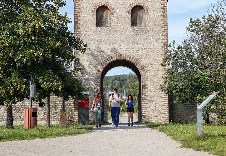
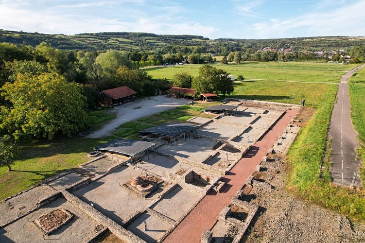
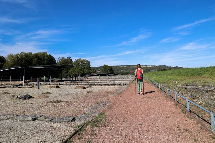
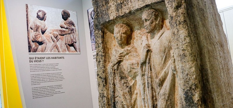
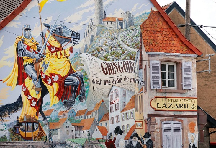
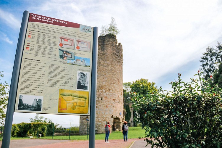
This hiking trail is dotted with historical landmarks: the unmissable Bliesbruck-Reinheim European Archaeological Park highlights the Celtic and Gallo-Roman periods; the ruins of Frauenberg Castle remind the Middle Ages; from Bliesbruck to Blies-Ebersing. Here, you will have the opportunity to ride along a cycle path laid out on the route of an old railway line where steam trains used to run through the valley. Created in 1879 under the German annexation (1870-1918), it linked Sarreguemines to Hombourg (Germany). In 1991, the closure of the last service (Reinheim-Hombourg) put an end to the existence of this line.
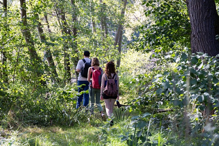
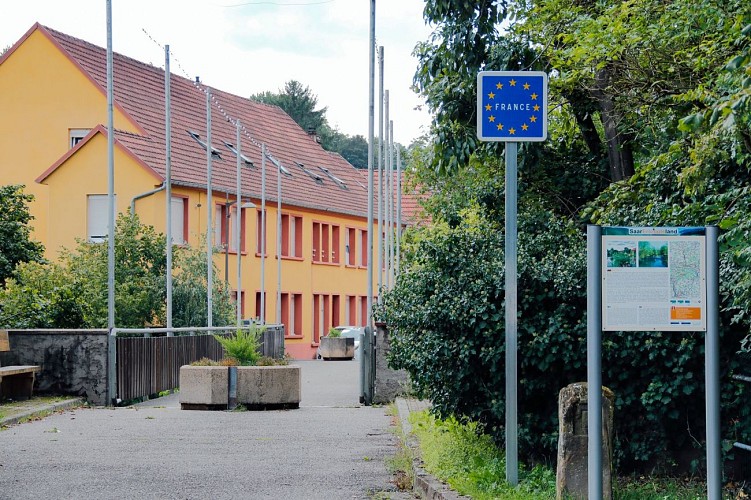
The "On the Banks of History" trail (Sur les Rives de l’Histoire) follows the banks of the River Blies. The river forms a natural border between France and Germany.
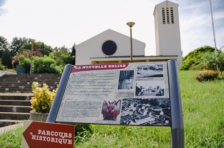
As you make your way along the route and visit the historic sites in the Blies valley, you will be taking a pleasant journey back in time in an area that has been preserved in its natural state.
- Variant: the circuit can be extended by "The Wild Boar Forest" (Les bois du sanglier) - 5.5 km and “Following the Path of the Counts" circuits (Sur les Pas des Comtes) - 5 km.
- Connections: two connections are available. The first leads to "The Grosswald" (Le Grosswald) - 6 km and "The Villa" - 3.7 km circuits within the Grosswald forest. The second, towards Woelfling-lès-Sarreguemines, leads to "The former Bombelles road" circuit (La Chaussée de Bombelles) - 11.4 km.
- Trail-Marking: yellow disc
- Geographical area: The Blies Valley, confluences of water and history
- Starting point: Bliesbruck > European Archaeological Park Bliesbruck-Reinheim
Technical Information
Altimetric profile
Starting point
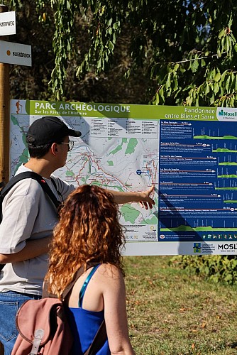
Points of interest


Additional information
Producteur de la donnée
Ces informations sont issues de la plateforme SITLOR - Système d’Information Touristique - Lorraine
Elles sont synchronisées dans le cadre du partenariat entre Cirkwi, l’Agence régionale du Tourisme Grand Est et les membres du comité technique de Sitlor.
Contact
Tel : 03 87 98 80 81
Email : contact@sarreguemines-tourisme.com
Site web : www.sarreguemines-tourisme.com
Data author
