Alert
Alerts
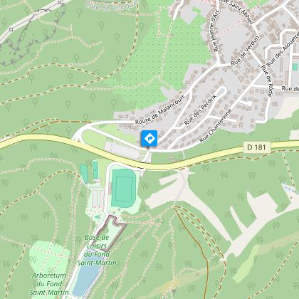
GR501 from Rombas to Plappeville


Description
The GR5F hiking route leads from the source of the Moselle in Bussang to its confluence with the Rhine in Koblenz. It enters France in Apach and provides a link via the Moselle valley. This third stage takes hikers from Rombas to Plappeville, at the gateway to Metz.
Technical Information
Altimetric profile
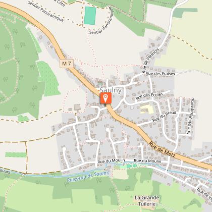
Starting point
Points of interest
Additional information
Producteur de la donnée
Ces informations sont issues de la plateforme SITLOR - Système d’Information Touristique - Lorraine
Elles sont synchronisées dans le cadre du partenariat entre Cirkwi, l’Agence régionale du Tourisme Grand Est et les membres du comité technique de Sitlor.
Contact
Tel : 06 73 22 49 26
Email : ffrando@sport57.fr
Site web : moselle.ffrandonnee.fr
Data author
