Alert
Alerts
Type of practice
Cycling
Hard
3h
Presentation
Description
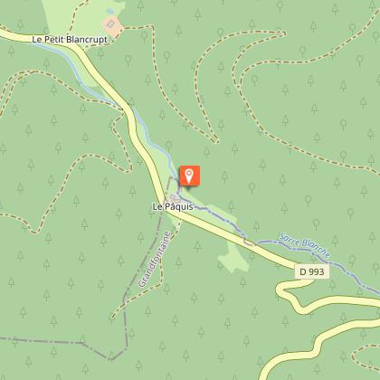
Map
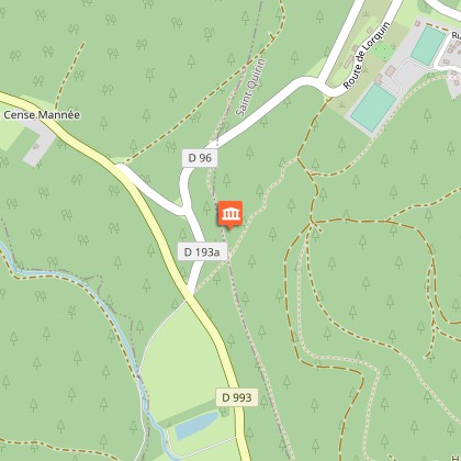
Points of interest
Ratings and reviews
See around
Donon circuit


Credit : Emmanuel Stourm 2020
Licence Open Data
Description
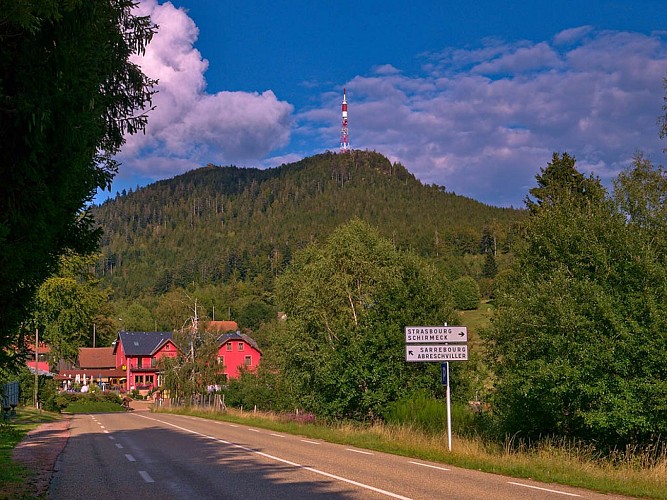
The climb up the Col du Donon pass is a real sporting challenge! The Tour de France has climbed the pass several times in its history. The climb takes you through a rise in altitude of 1,375 metres.
Technical Information
Cycling
Difficulty
Hard
Duration
3h
Dist.
53 km
Type of practice
Cycling
Hard
3h
Show more
Altimetric profile
Starting point
1
Rue des Marnageurs
,
57560
ABRESCHVILLER
Lat : 48.636613074434Lng : 7.0922308365504
Points of interest
Additional information
Producteur de la donnée
Ces informations sont issues de la plateforme SITLOR - Système d’Information Touristique - Lorraine
Elles sont synchronisées dans le cadre du partenariat entre Cirkwi, l’Agence régionale du Tourisme Grand Est et les membres du comité technique de Sitlor.
Contact
Tel : 03 87 03 11 82
Email : contact@tourisme-sarrebourg.fr
Data author

proposed by
Moselle Attractivité
57000 Metz France
Ratings and reviews
To see around