Alert
Alerts
Kayl tour
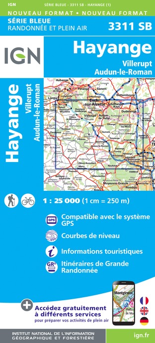
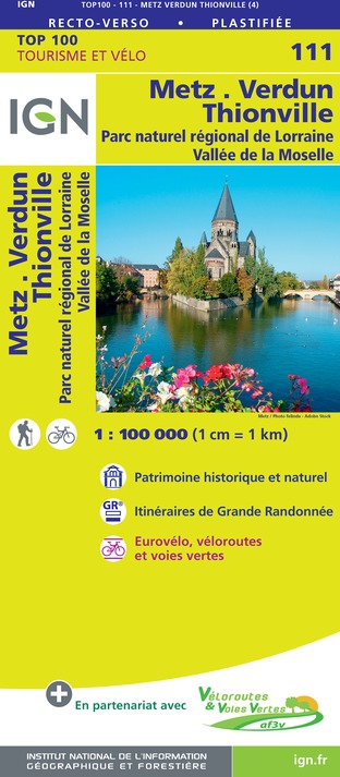
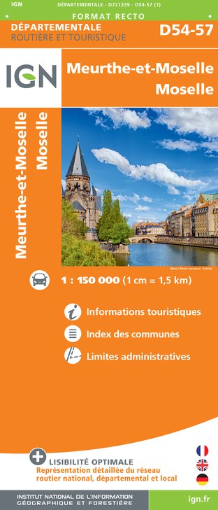
IGN cards


Description
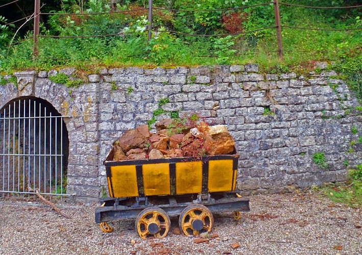
The village of Nondkeil, a part of Ottange, nestles in the narrow valley pierced by the Kayl stream. The mining towns that make up the village are the last traces of its industrial past. On either side, the high plateau alternates between agricultural and forest landscapes, providing a succession of different atmospheres for the walk.
Technical Information
Altimetric profile
Starting point
Points of interest


Additional information
Producteur de la donnée
Ces informations sont issues de la plateforme SITLOR - Système d’Information Touristique - Lorraine
Elles sont synchronisées dans le cadre du partenariat entre Cirkwi, l’Agence régionale du Tourisme Grand Est et les membres du comité technique de Sitlor.
Contact
Tel : 03 82 53 33 18
Email : tourisme@thionville.net
Data author
