Alert
Alerts
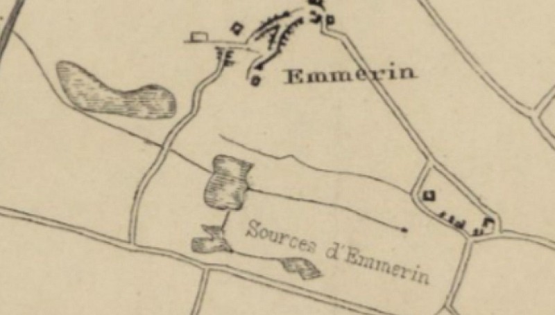
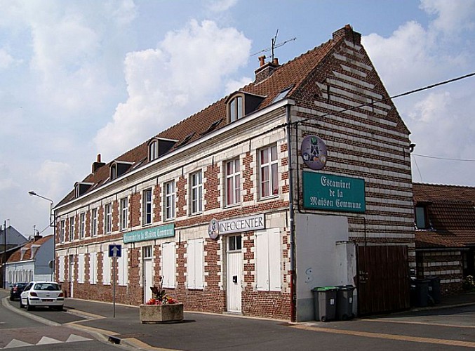
Emmerin, water at the source of the village


The Cirkwi brief
Embarking on a journey through Emmerin not only quenches your thirst for scenic walks but unveils a treasure trove of history beneath your feet. Unearthed during the construction of their church in 1840, the locals stumbled upon a vital water source, illustrating the village's rich natural heritage. As you meander through the woods, the path leads to the enchanting Espace Naturel de la Canteraine and the nearby Parc Mosaïc, accentuating the serene ambiance. This journey, artfully crafted by Seclin Mélantois Tourisme, invites adventurers to experience the charm and historical depth of Emmerin, making for an unforgettable exploration.
Technical Trek Summary
This route spans approximately 5.5 kilometers, beginning from the heart of Emmerin and stretching out to reveal the village’s natural and historic marvels. With an elevation range from 19 to 29 meters above sea level, the trail presents a gentle ascent, totaling a positive elevation gain of about 15-16 meters. This makes for an accessible and enjoyable hike for enthusiasts of all levels, laying bare the simplistic beauty and tranquil ambiance of the northern French terrain.
Seasonal Hiking Tips
For optimal enjoyment of this route, spring offers a cascade of blooming flora and milder temperatures, perfect for leisurely walks. Summer provides lush, full-green landscapes but be sure to stay hydrated and protect yourself from the sun. The crisp air of autumn paints the path in vibrant hues, making for picturesque scenery, though prepare for potentially slippery conditions. Winter, while brisk, can offer serene, snow-dusted walks; appropriate attire for cold weather is essential to ensure a safe and comfortable journey.
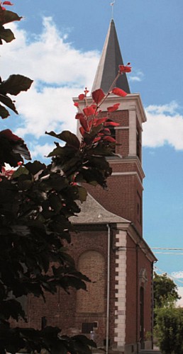
Emmerin: A Historical Canvas
Emmerin, nestled in the northern part of France, stands as a testament to resilience and history. From the discovery of potable water during the church's construction to the harsh memories of civilian massacres during WWII, the village whispers tales of its past. The Howarderie, dating back to 1485, serves as a symbol of history, persisting through centuries. Emmerin’s story is deeply interwoven with the broader narratives of the region, inviting those who tread its paths to ponder the layers of history beneath their feet.
Season-wise Weather Guide
The climate of Emmerin, typical of northern France, features temperate winters and mild summers. Rainfall is fairly distributed throughout the year, making it important to prepare for possible showers regardless of the season. The best time to visit would arguably be late spring to early autumn, when the weather is most conducive to outdoor activities, offering comfortable temperatures and the full splendor of the region’s natural beauty.