Alert
Alerts
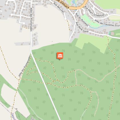
Circuit de la Feigne orientale

Description
Thanks to the Club Vosgien for the creation of this hike and for the work done by its teams throughout the year to mark out and maintain these paths.
Marking: yellow ring 9km
Pleasant hilly path in the forest of Deyvillers.
After the kiosk, turn left onto the marked path (yellow disc) which leads to a small tarmac road. Turn left, then immediately right and follow the small tarmac road that goes slightly uphill. Following the marking (yellow disc), you’ll come to a gravel path that leads you into the forest. 800 m after entering it, you will see a pond on your right. Continue on the path and turn right along a fence. Take the footbridge over the St. Oger to reach a small tarmac road again. Turn left for 100 m, then turn right and follow a forest track which climbs gently without worrying about the tracks on the left. As the slope clearly steepens, turn right. The track crosses a clearing and leads 600 m further on to a tarmac road. Continue to the left to take the marked path (yellow disc) which enters the forest. After 300 m you will come to a crossroads. Continue straight on following the yellow disc. The path that goes alongside the Feigne Orientale wetland comes to a junction of 3 paths. Follow the path straight ahead for 60 m and turn right to take a footpath leading up to a gravelled forest track. By turning left, you reach a tarmac road which you follow for about 60 metres to turn left onto a path which leads to a crossroads. Turn right onto the tarmac road for 150 m, turn right onto a forest track and follow the yellow disc. After passing near a water tower, 30 m before crossing a barrier, take the path on the right which goes down to a health and botanical trail with tree signs. Go down following the yellow disc marking. At the edge of the forest, you will come to a small tarmac road that leads down to the town. At the road junction, turn right, then left just before the fountain. A paved path will lead you to a square, then to a footbridge. You will cross the Saint-Oger again to get back to your starting point.
Technical Information
Altimetric profile
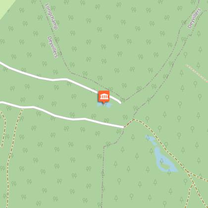
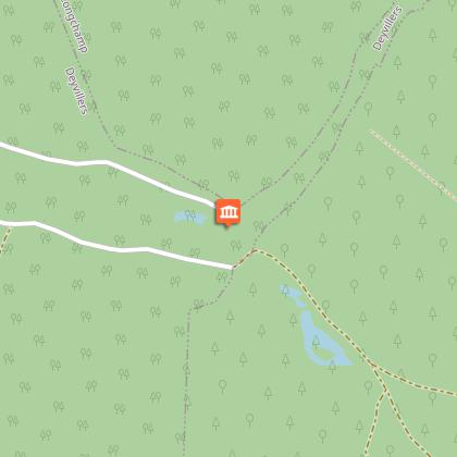
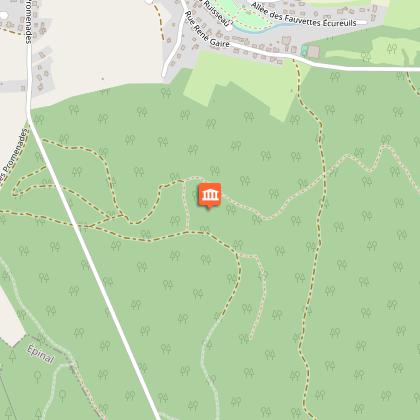
Starting point
Points of interest
Additional information
Contact
Tel : 03 29 82 53 32
Site web : www.tourisme-epinal.com/sejourner/nos-circuits/circuit-de-la-feigne-orientale-2272999
Producteur de la donnée
Ces informations sont issues de la plateforme SITLOR - Système d’Information Touristique - Lorraine
Elles sont synchronisées dans le cadre du partenariat entre Cirkwi, l’Agence régionale du Tourisme Grand Est et les membres du comité technique de Sitlor.
Data author
