Alert
Alerts
The Durzon Spring


Description
The foothills of the Larzac as a backdrop, a landscape of meadows and undergrowth, a paceful walk along a laughing stream that irrigates the country of Nant, called "the garden of Aveyron".From the car park, take the road on the left towards Mas du Pré and cross the pretty bridge (you can see the hamlet on the left).At the iron cross, turn right on a wide dirt track which successively runs along meadows and fields. Then it shrinks to enter the wood. The Durzon River is nearby.At the intersection, leave the small tuff bridge on the right (private property of the descendants of Victor Hugo) and turn off towards left. 200m further, at the junction, take the right path along the river and continue for 800m to reach the spring.From the source, cross the Durzon on the concrete footbridge and take, at the bottom of the meadow, the path that goes up on the right towards Mas de Pommiers. Then follow the asphalt road to the starting point.From the point 4: you can return to the starting point by the same route as on the way out.
Technical Information
Altimetric profile
Starting point
Steps
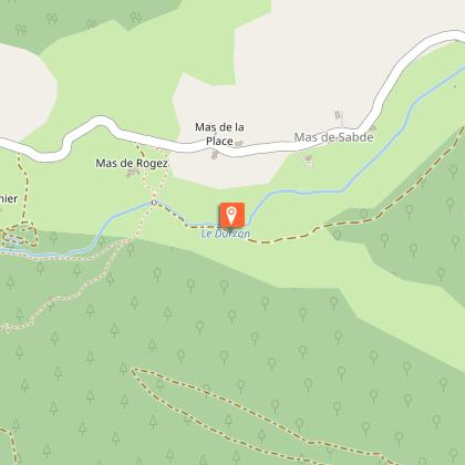
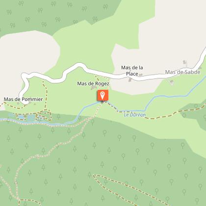
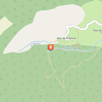
Points of interest


Additional information
Public transport
To travel by bus or train, by carpooling and hitchhiking Rezopouce.
Is in the midst of the park
This itinerary is located in the World Heritage zone Causses and Cévennes, mediterranean agropastoral cultural landscape.
Advised parking
Just before the bridge on the left.
Access
From Millau by the D809 and D999, then D178 towards the "Source du Durzon".
Arrival
Nant, Bridge of Mas du Pré (D178)
Ambiance
Ideal for an easy family stroll, this walk punctuated by the runoff of the Durzon, a tributary of the Dourbie River, takes you to the heart of a quiet and plenty of charm valley. At the end of the path, the resurgence of the Durzon awaits in haven of a freshness and shade where clear water flows in abundance.
Departure
Nant, Bridge of Mas du Pré (D178)
Data author
