Alert
Alerts
EldoradoRando - Le sentier des mineurs


IGN cards


Description
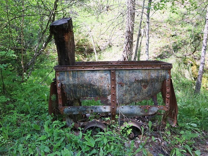
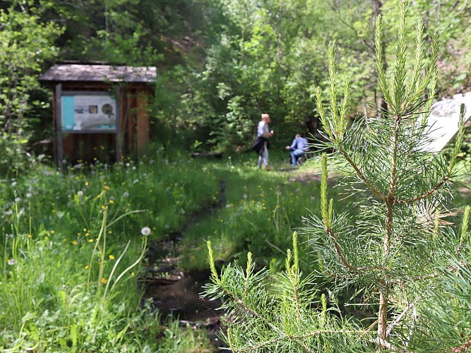
Follow in the footsteps of the former peasants-miners and discover some of the remains of this ancient activity. Along the way, take in the many viewpoints over the valley and the explanatory panels recounting the life of the inhabitants of Villard-Saint Pancrace.
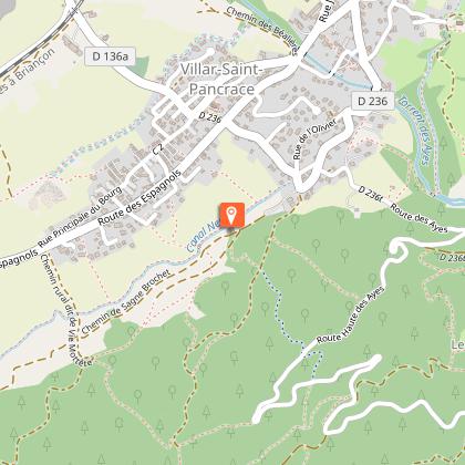
Take the track at the bottom of the parking lot. Go about 100 m past the center Montagne to find a path leading down to the right, at the corner of a small grove, which joins the "Canal Neuf": follow this small canal on the left.
Soon you'll see an electric substation. Cross the canal (arrow sentier des charbonnières) to the left and climb up into an old meadow, cross two low walls and bend right to find the path again. At the next fork in the road, follow the path upwards, cross a footbridge and climb the track that runs alongside the torrent and bends to the right.
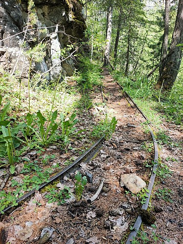
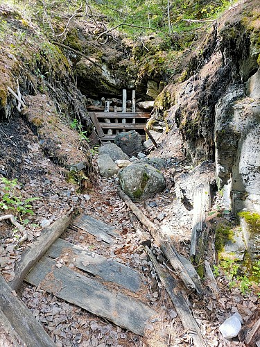
Just after the bend, climb the left-hand path (arrow sentier des charbonnières) which passes two old mines (remnant of wagon tracks) and joins a wide track (post). Climb back up and cross the footbridge.
Take the path on the right (arrow sentier des charbonnières) which joins an old track (approx. 1380 m).
Descend it, fork right at the fork (arrow sentier des charbonnières) and cross the footbridge over the Petit Rif (right, entrance to an old mine).
Turn left, join the wide track and stop following the Charbonnières path and go down the track for 200m.
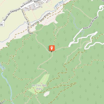
5 In the embankment on the right, climb a path. Further up, reach a steep, stony forest trail and climb it. At the fork in the road, continue uphill and, in the bend, continue straight ahead to reach a new fork in the road.
Continue uphill to the right and take the mule track which weaves between two hedges and emerges between two buildings at Clot des Prés. Continue straight ahead to find the pastoral road (1580 m, viewpoints).
At the bend in the road, first turn right down a path, then left down the wide track, past the Clot de l'Ase and, after a series of long twists and turns, reach a fork in the road (approx. 1320 m).
Fork right to take the track that slopes down below the previous one, reaching the junction at marker 3.
Return to the parking lot along the same route.
Technical Information
Altimetric profile
Starting point
Steps

Additional information
Updated by
Office de tourisme des Hautes Vallées - La Grave - La Clarée - L'Izoard - 10/09/2025
www.hautesvallees.com/la-grave/
Report a problem
Contact
Phone : 06 07 07 31 08
Email : izoard@hautesvallees.com
Website : www.hautesvallees.com/lizoard/
Facebook : www.facebook.com/izoardtourisme/
Data author
