Alert
Alerts
Walking itinerary : Les chalets du Boret et le Bout du Monde


IGN cards


Description
If you'd like to see the waterfalls and the famous "Edge of the World" from the heights of Sixt-Fer-à-Cheval, this beautiful hiking route is the one for you!
To view real-time car park attendance, please click here: affluences.com/parking-de-sixt-fer-a-cheval
Technical Information
Altimetric profile
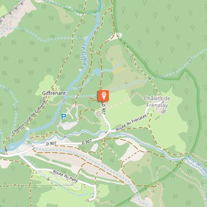
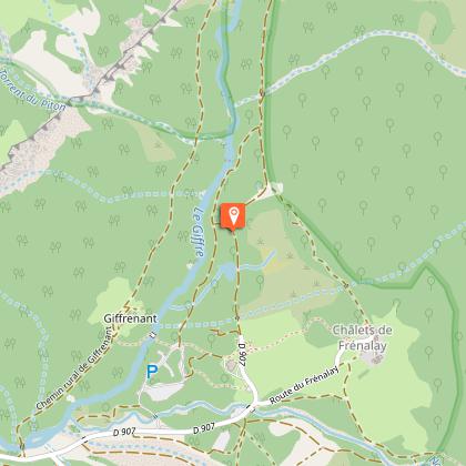
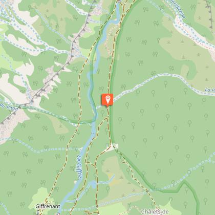
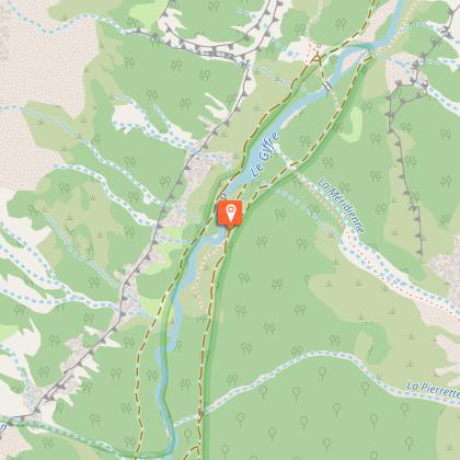
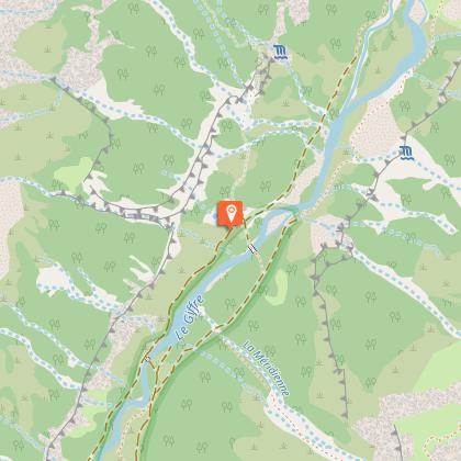
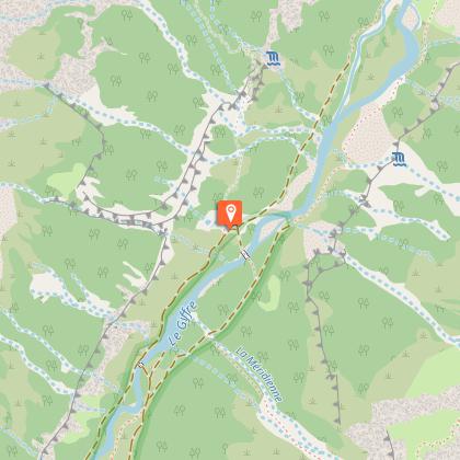
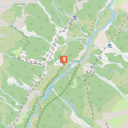
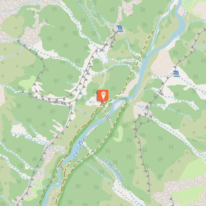
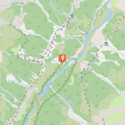
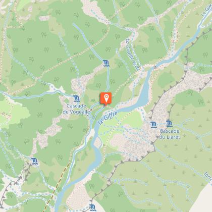
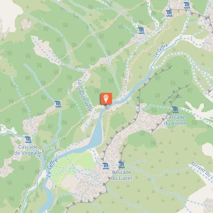
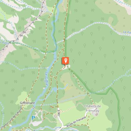
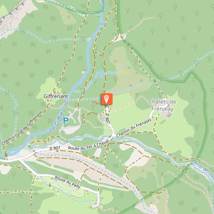
Starting point
Steps

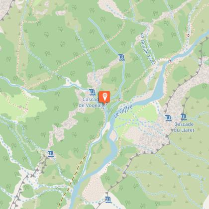

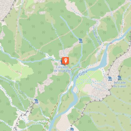
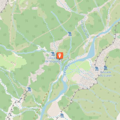

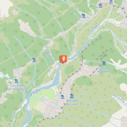
Points of interest


Date and time
- From 01/05/2026 to 01/11/2026
Additional information
Open period
From 01/05 to 01/11 daily.
Subject to snow conditions.
Tips
The "Pas du Boret", an overhead passage, can be avoided by going back and forth via the Bout du Monde (allow an additional hour).
To view real-time car park attendance, please click here: affluences.com/parking-de-sixt-fer-a-cheval
Environments
Lake view
Mountain location
In a nature reserve
Waterfall view
Contact
Phone : 04 50 34 49 36
Email : contact@haut-giffre-tourisme.fr
Topo guides and map references
Topo guides references :
Topo ‘50 randonnées en vallée du haut giffre’ Patrice Gain, on sale in the valley's shops.
Map references :
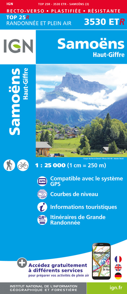
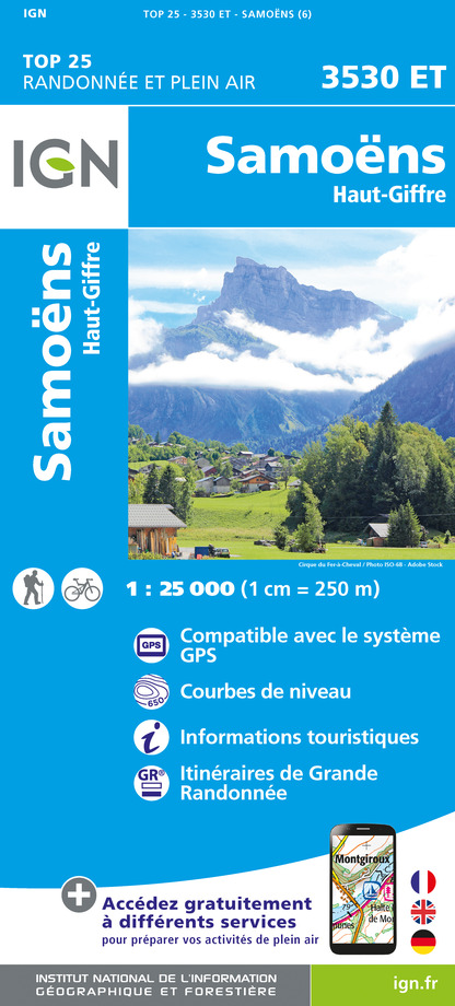
IGN TOP 25 - 3530 ET Samoëns map - on sale at the tourist office and in shops. Montagnes du Giffre hiking map - CCMG - on sale at the tourist office.
Updated by
Haut-Giffre Tourisme - 17/10/2025
www.haut-giffre.fr
Report a problem
Tricky passages
Le Pas du Boret: not recommended for those suffering from vertigo. Avoid in bad weather.
Guidebook with maps/step-by-step
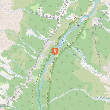
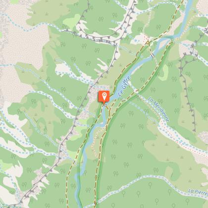
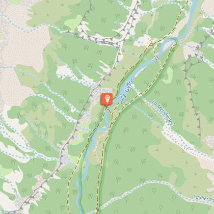
From the car park of the Cirque du Fer-à-Cheval, take the wide track to the right of the restaurant and follow it through the forest which is towered over by some impressive summits, including the unmistakable Corne du Chamois (2,560 metres). Cross the first footbridge over the riverbed and continue to follow the wide track. At the next intersection, turn left and cross the stream on the Giffrenant footbridge (beautiful view of the Fond de la Combe and the Edge of the World). After the footbridge, turn right and follow the path to the Prazon café.
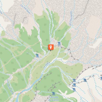
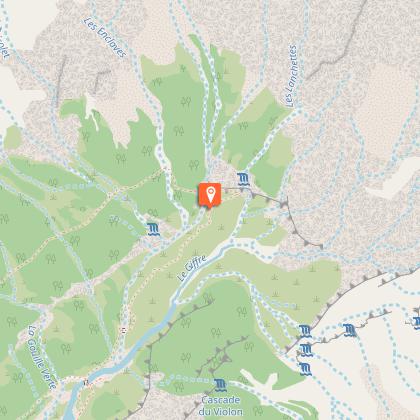
At the café, turn left onto the path towards Boret and Vogealle, follow it through the woods for a little way, then cross the bed of a small stream to reach the bottom of the Pas du Boret. This passage is aerial and delicate, cables are installed if you want to hold on (do not use in rainy or stormy weather. This route is for experienced hikers only).
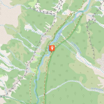
Continue up through the rocks, following the coloured markings, until you come to the path that winds its way across the Pas du Boret. This section is exposed to the full sun so make sure you take plenty of water with you! After the Pas, the path continues up through the woods and then on to the Boret prairies, where you'll find a café of the same name. From there, you can enjoy the magnificent panoramic view of the spectacular foothills of the Pic de Tenneverge (2,989 metres) and the Mont Ruan (3,040 metres)!
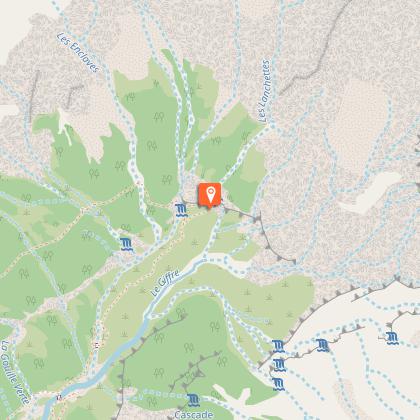
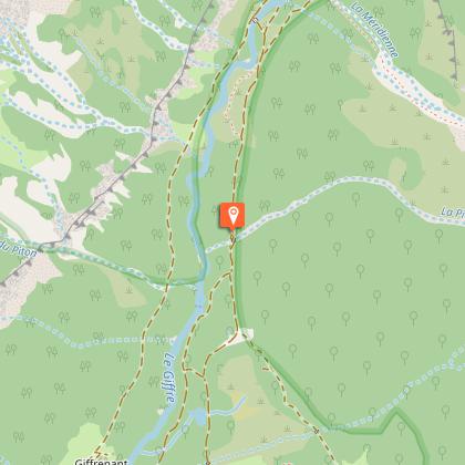
For the return trip, take the path from the Boret café towards Fond de la Combe. This will take you all the way to the "Edge of the World" where you can enjoy a beautiful view of the Fond de la Combe and the Giffre mountain river that winds through the valley. From the Edge of the World, the path goes back down towards Fond de la Combe. When you reach the footbridge, you can either cross it to return to the Fer-à-Cheval car park on the other bank (rejoining the normal path not far from the Giffrenant bridge), or you can continue on the same path without crossing the footbridge, passing the waterfalls on the way to the Prazon café and, from there, rejoin the normal path back to the Cirque du Fer-à-Cheval car park.
Animals
No. You are entering the Sixt-Passy nature reserve. Animals are not allowed in this area. Thank you for your understanding.
Data author
