Alert
Alerts
Traversée du Clergeon - Cycling circuit
Description
One of three sports crossings of a beautiful link which lengthens between Aix-les-Bains and Seyssel, with possibility of a small pedestrian ascent in the summit
Direction : clockwise.
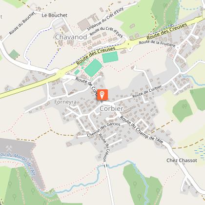
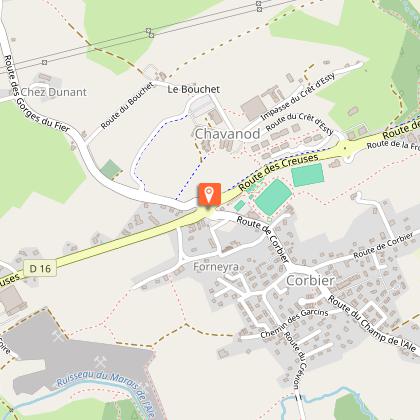
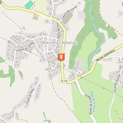
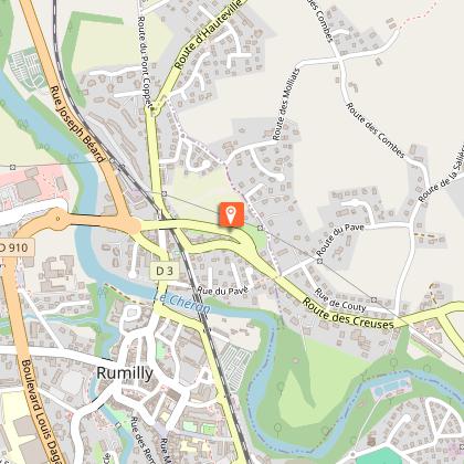
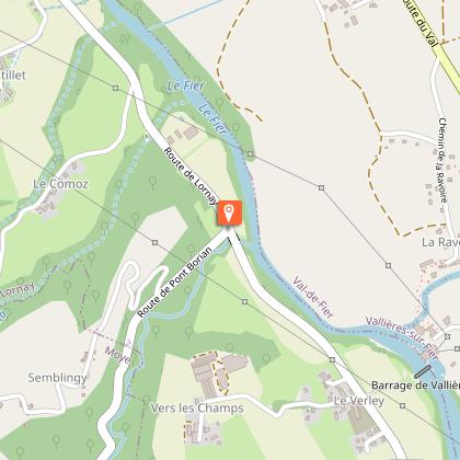
Landmarks and connections: Rumilly (common route from Annecy with the Boucle du Fier n°15 ); Chautagne villages in common with the other two crossings of the triptych; Val-de-Fier (common route with the Boucle du Fier at the exit from the gorges).
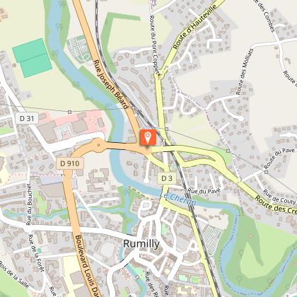
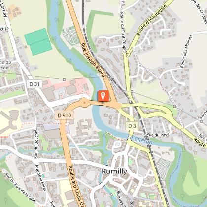
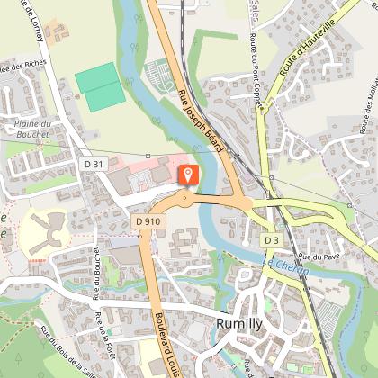
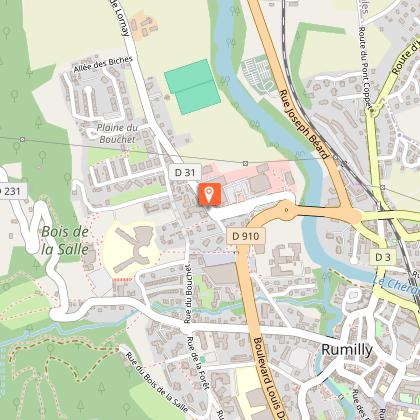
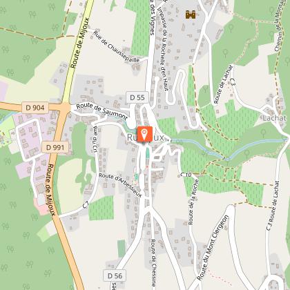
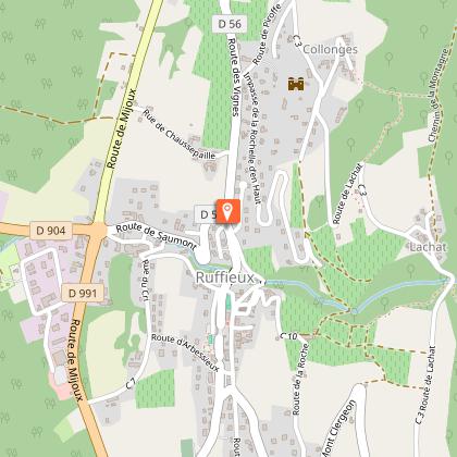
TER station: Rumilly (allowing you to skip the first 20 km of flat terrain).
Description : this Traversée differs from the other two (Chambotte n°12 and Sapenay n°13) from Rumilly, where you follow the Boucle du Fier n°15 for 4 km on the RD31 to the Bauriant bridge. From here, the road gradually climbs via the RD317 and RD231 to the thick Clergeon state forest. The road culminates at 979 m, the highest of the three Traversées. To reach and exceed 1000 m, you can take a short, signposted walk to the Clergeon cross (bring sneakers instead of wedges!). The view from the summit rock over Lac du Bourget, which appears like a Norwegian fjord, is astonishing, while on the other side, behind the Albanais plain, the Aravis massif and Mont-Blanc can be seen as a backdrop. Be careful on the descent! At the halfway point, the gradient exceeds 10% for two kilometers, and this plunge into the Chautagne region takes place in front of a "monster" of mountain bike touring: the Grand Colombier. If this is your next objective, the ascent to Le Clergeon in the opposite direction will be a good preparation!
Once you've reached the plain, you'll find the common routes of Traversées de la Chambotte n°12 and Traversées du Sapenay n°13, which you'll follow through the Val-de-Fier gorges, before joining Boucle du Fier n°15 and returning to Annecy.
Technical Information
Altimetric profile
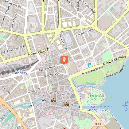
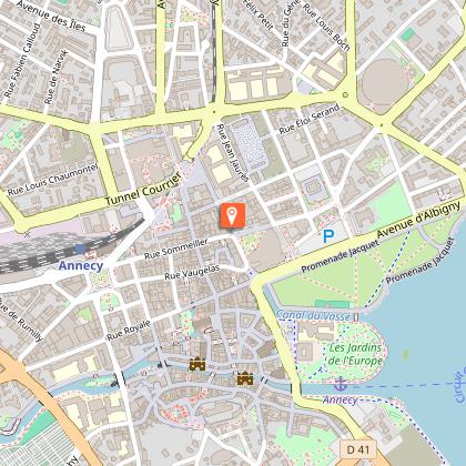
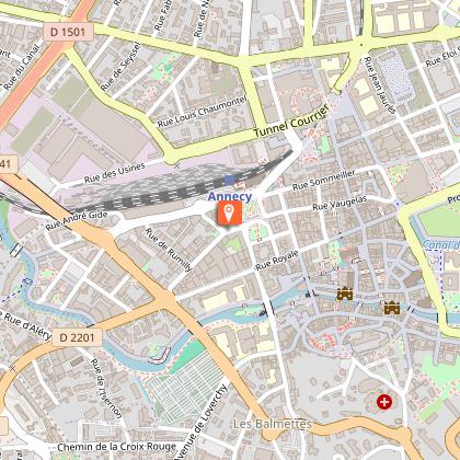
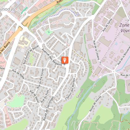
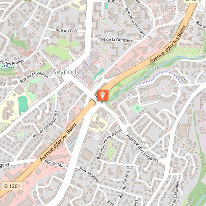
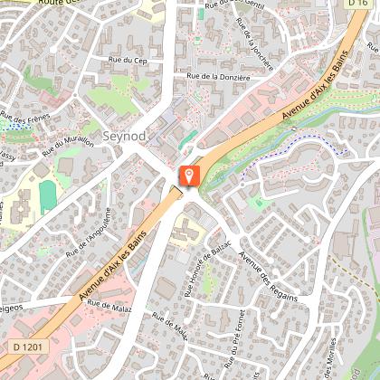
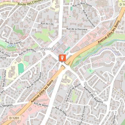
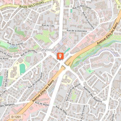
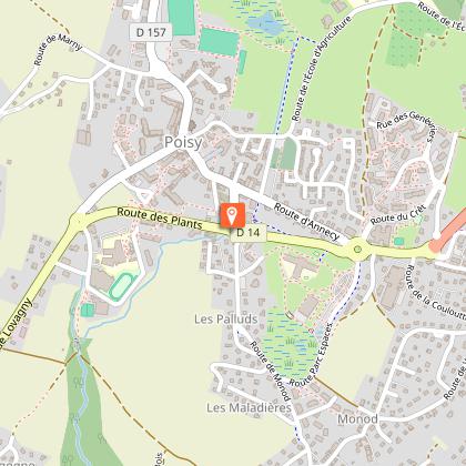
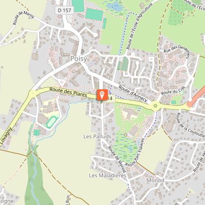
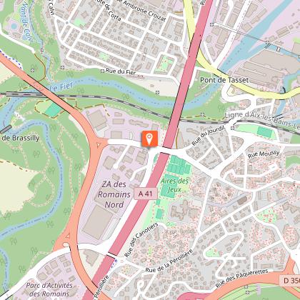
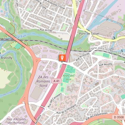
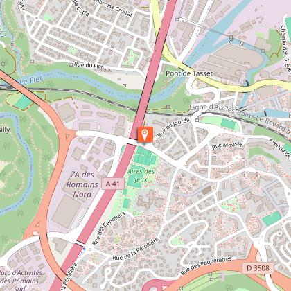
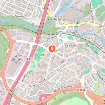
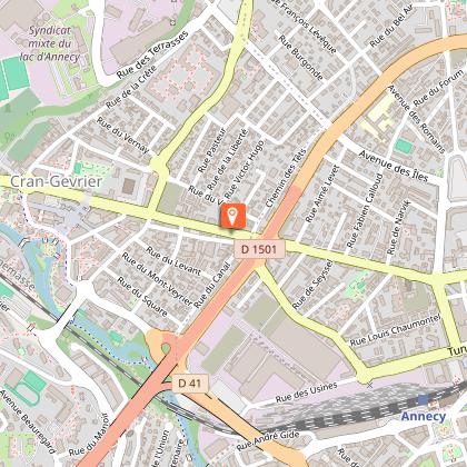
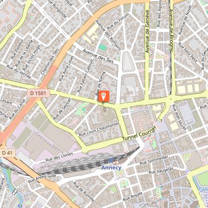
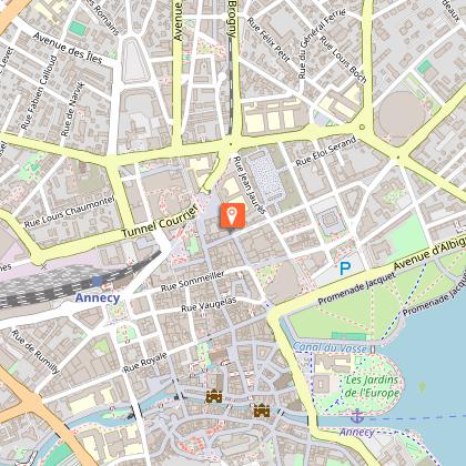
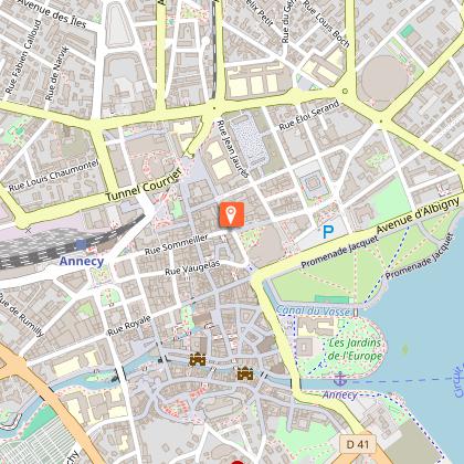
Starting point
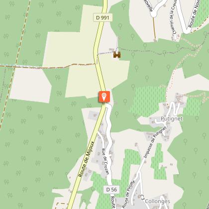
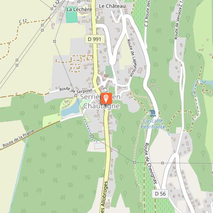
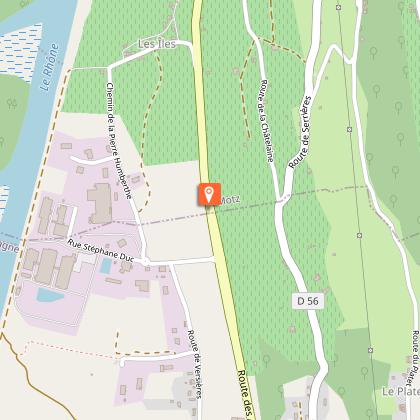
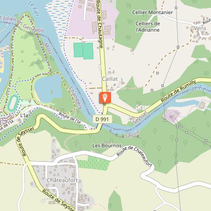
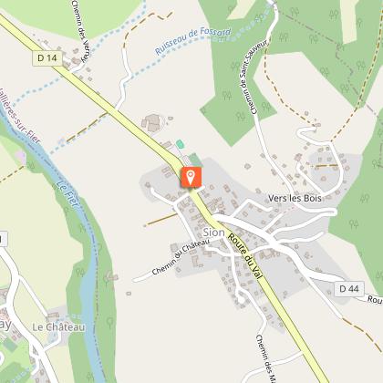
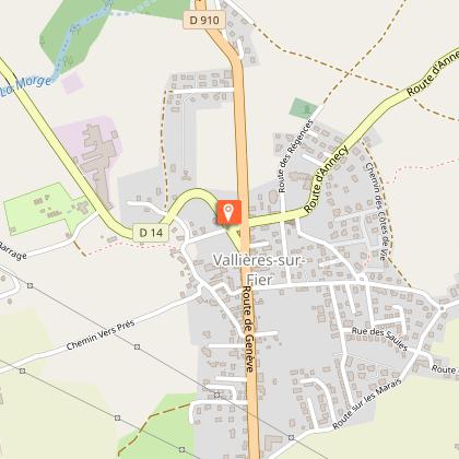
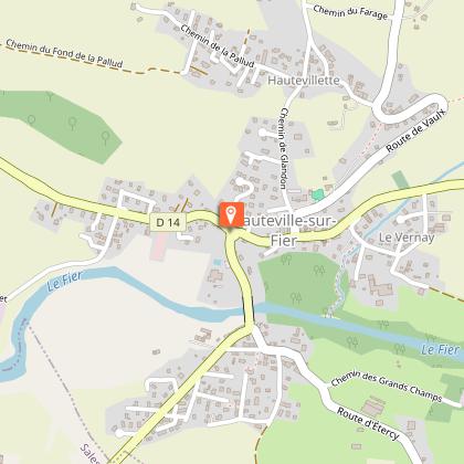
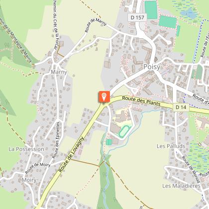
Steps


Additional information
Updated by
Conseil Départemental de la Haute-Savoie - 21/04/2026
hautesavoiemontblanc-tourisme.com/
Report a problem
Open period
All year round daily.
Subject to favorable snow and weather conditions.
Contact
Phone : 04 50 45 00 33
Email : info@lac-annecy.com
Website : https://www.lac-annecy.com
Facebook : https://www.facebook.com/lacannecy.tourisme
Location complements
Car Park: Préfecture
Data author
