Alert
Alerts
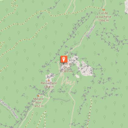
Boucle du Château de Choisel
Description
At the foot of the Mont du Chat, St Paul offers 4 circular walks including one gentler alternative. The Boucle du Château de Choisel offers an impressive view over the Château de Choisel’s tower.
Village houses cluster around the church to form the charming village of Saint-Paul-sur-Yenne, nestled at the foot of the mountain.
In this peaceful setting, you follow a wide farm track through the fields, accompanied by the scent of flowering grass.
But what's that strange animal standing by the river?
It would seem that the old farming tools have come back to life here, and are wandering along the paths. Their work in the fields is over and, as if transformed by a magic wand into fantastic beings, they wander quietly along the paths.
Look: there's two more of them cooling their paws in the stream!
Keep on walking - more surprises await you. And don't forget to take in the lovely views over the rolling countryside and the surrounding massifs, which watch over this gentle countryside from all their height.
Technical Information
Altimetric profile
Starting point
Additional information
Contact
Phone : 04 79 36 71 54
Email : info@yenne-tourisme.fr
Website : http://www.dentduchat.fr
Open period
All year round daily.
Environments
Overview on river
Close to GR footpath
Mountain view
Forest location
Lake view
In the country
View over the vineyards
Village 2 km away
Type of land
Grit
Not suitable for strollers
Location complements
From the Départementale 921C, go to the main town near the Mairie and the Saint-Paul-sur-Yenne multi-purpose hall.
Free parking is available.
Updated by
Office de Tourisme de Yenne - 23/02/2026
www.dentduchat.fr
Report a problem
Reception complements
Bring hiking boots.
Guidebook with maps/step-by-step
Start: Saint-Paul-sur-Yenne town hall parking lot 435 m.
1/ Take the path towards the hamlet of Les Janins.
2/ At Les Janins, after 600 m, cross the departmental road to follow a stream, then cross the road again to reach the hamlet of Les Moirouds, then La Muraz.
3/ At La Muraz (345 m), continue along the track until you see the sign for "Les Tréchauds".
4/ From Les Tréchauds (330 m), turn right to the Grange Brûlée plateau.
5/ At the Grange Brûlée plateau (405 m), turn right again, intersecting with a departmental road, to reach St-Paul (panorama).
6/ Return to the start via the school.
Animals
Yes
Data author
