Alert
Alerts
Roc de Chère - Belvederes hiking trail
1 alert on this circuit
RÉSERVE NATURELLE DU ROC DE CHÈRE:
Alerte visiteurs
De avril à juin, durant la période de nidification, le site est très sensible.
Merci de ne pas troubler la quiétude des lieux.


Description
Discover the Roc de Chère nature reserve, an ecologically rich protected forest. Alternating Mediterranean atmospheres, wetlands and magnificent panoramas of Lake Annecy and the surrounding peaks.
This beautiful walk will allow you to discover the Roc de Chères and its viewpoints.
This limestone and sandstone massif offers sumptuous panoramas of Lake Annecy and the surrounding peaks.
As you stroll along, imagine that at the end of the 19th century, the Roc de Chère was farmed and grazed, and the forest was almost non-existent.
The alternation of Mediterranean-type vegetation, wetlands and cool areas makes the trail particularly pleasant in all seasons.
Note the thematic discovery trail. Booklet on sale at golf reception or Talloires Tourist Office.
Technical Information
Altimetric profile
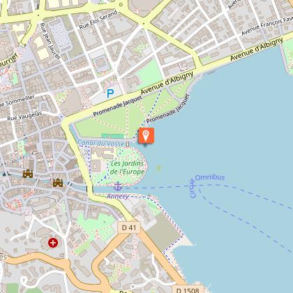
Starting point
Points of interest

Additional information
Open period
From 01/01 to 31/12.
Subject to favorable snow and weather conditions.
Updated by
Conseil Départemental de la Haute-Savoie - 21/04/2026
hautesavoiemontblanc-tourisme.com/
Report a problem
Environments
Lakeside or by stretch of water
Lake view
Mountain location
Waterside
In a nature reserve
Contact
Phone : 04 50 45 00 33
Email : info@lac-annecy.com
Website : https://www.lac-annecy.com
Type of land
Stone
Ground
Grit
Not suitable for strollers
Location complements
Access (by car): From Annecy on the D909a, follow signs for Talloires. Drive through the village of Menthon-Saint-Bernard, and at the hamlet of Echarvines (speed bumps on the road) turn right towards the Golf de Talloires. Parking located 200 meters before the entrance to Golf de Talloires.
Access (bus): From Annecy, take SIBRA line no. 20 "Gare d'Annecy/Vignière - Talloires-Montmin", which serves "Echarvines".
Topo guides and map references
Map references :
TOP 25 IGN 3431 OT - LAC ANNECY
Reception complements
Whatever your hike, remember to pack cereal bars, plenty of water, sunglasses, sunscreen, a small first-aid kit, and clothing appropriate to the season and weather forecast.
Guidebook with maps/step-by-step
1/ From "Echarvines (Parking)", follow signs for "Belvédère du Roc de Chère". Then, at the "Grange d'Echarvines" post, follow "Belvédère du Roc de Chère par la crête". Still following "Belvédère du Roc de Chère", you will pass by "Belvédère de la Crête" and "Sous la Crête".
2/ At "Belvédère du Roc de Chère", follow signs for "Echarvines par la Patte d'Oie". At the signpost "La Patte d'Oie", continue in the direction of Echarvines to reach your starting point.
Animals
No. Pets are not allowed.
Data author
